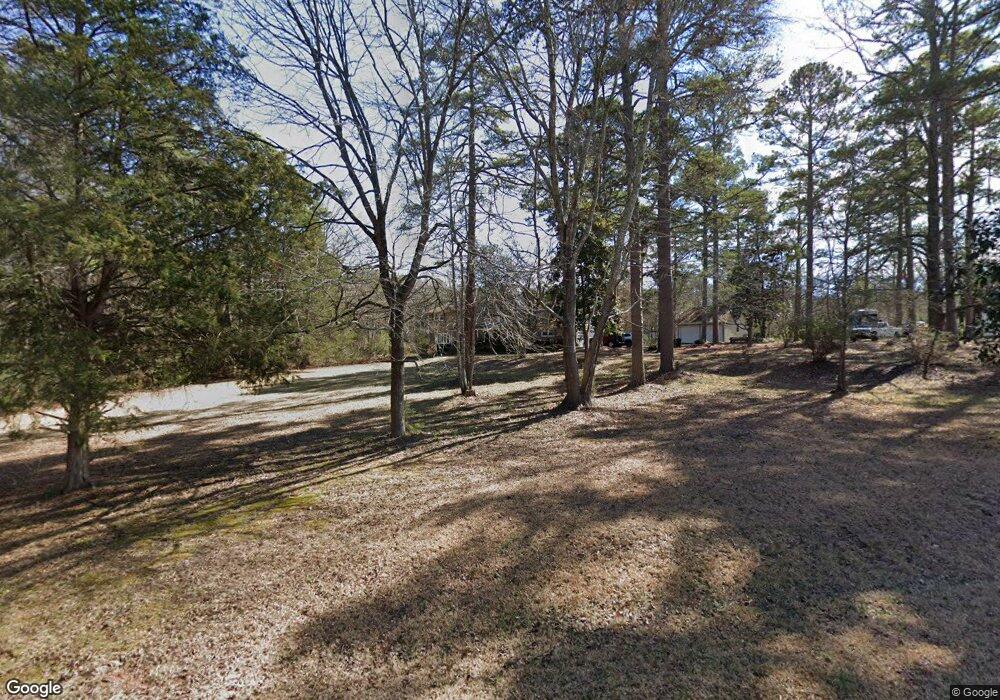
662 Cannon Dr Rock Hill, SC 29730
Estimated Value: $396,684 - $670,000
--
Bed
--
Bath
3,137
Sq Ft
$171/Sq Ft
Est. Value
About This Home
This home is located at 662 Cannon Dr, Rock Hill, SC 29730 and is currently estimated at $535,171, approximately $170 per square foot. 662 Cannon Dr is a home with nearby schools including Lesslie Elementary School, Castle Heights Middle School, and Rock Hill High School.
Ownership History
Date
Name
Owned For
Owner Type
Purchase Details
Closed on
May 27, 2025
Sold by
Swoope Patricia Ann and Picinich Swoope Patricia
Bought by
Swoope Irrevocable Family Trust and Swoope
Current Estimated Value
Purchase Details
Closed on
Aug 4, 2021
Sold by
Swoope Patricia Picinich and Estate Of Charles W Swoope Jr
Bought by
Swoope Patricia Picnich
Create a Home Valuation Report for This Property
The Home Valuation Report is an in-depth analysis detailing your home's value as well as a comparison with similar homes in the area
Home Values in the Area
Average Home Value in this Area
Purchase History
| Date | Buyer | Sale Price | Title Company |
|---|---|---|---|
| Swoope Irrevocable Family Trust | -- | None Listed On Document | |
| Swoope Irrevocable Family Trust | -- | None Listed On Document | |
| Swoope Patricia Picnich | -- | None Available |
Source: Public Records
Tax History Compared to Growth
Tax History
| Year | Tax Paid | Tax Assessment Tax Assessment Total Assessment is a certain percentage of the fair market value that is determined by local assessors to be the total taxable value of land and additions on the property. | Land | Improvement |
|---|---|---|---|---|
| 2024 | $853 | $8,073 | $995 | $7,078 |
| 2023 | $875 | $8,073 | $995 | $7,078 |
| 2022 | $878 | $8,073 | $995 | $7,078 |
| 2021 | -- | $8,073 | $995 | $7,078 |
| 2020 | $875 | $8,073 | $0 | $0 |
| 2019 | $1,060 | $7,020 | $0 | $0 |
| 2018 | $1,052 | $7,020 | $0 | $0 |
| 2017 | $991 | $7,020 | $0 | $0 |
| 2016 | $961 | $7,020 | $0 | $0 |
| 2014 | $956 | $7,020 | $1,520 | $5,500 |
| 2013 | $956 | $7,620 | $1,520 | $6,100 |
Source: Public Records
Map
Nearby Homes
- 686 Cannon Dr
- 574 Karen Dr
- Lot 2 Ratteree Farm Rd Unit 2
- 0000 Tract #1A Roddey Rd
- 1009 Rainbow Cir
- 4000 Lesslie Hwy
- 4001 Lesslie Hwy
- 3886 Lesslie Hwy
- 3835 Lesslie Hwy
- 57 Acres Woodstock Dr
- 4575 Cureton Ferry Rd
- 1206 Old Friendship Rd
- 925 Four Cross Rd
- 3943 Walker Road (Land Only)
- 00 Whispering Pines Dr Unit 31
- 3943 Walker Rd Unit LOT ONLY
- 3943 Walker Rd
- 356 Emma Wood Ln
- 355 Leisure Ln
- 5245 Highway 5 None
