662 Cemetery Rd Decatur, TX 76234
Estimated Value: $479,000 - $661,000
--
Bed
--
Bath
2,230
Sq Ft
$250/Sq Ft
Est. Value
About This Home
This home is located at 662 Cemetery Rd, Decatur, TX 76234 and is currently estimated at $558,270, approximately $250 per square foot. 662 Cemetery Rd is a home with nearby schools including Decatur High School.
Ownership History
Date
Name
Owned For
Owner Type
Purchase Details
Closed on
Nov 15, 2024
Sold by
Womble Robert Carson and Womble Kara Kay
Bought by
Catlett Creek Acres Llc
Current Estimated Value
Purchase Details
Closed on
Sep 30, 2019
Sold by
Jenkins Bennette
Bought by
Womble Robert Carson and Womble Kara Kay
Home Financials for this Owner
Home Financials are based on the most recent Mortgage that was taken out on this home.
Original Mortgage
$72,000
Interest Rate
6.62%
Mortgage Type
Adjustable Rate Mortgage/ARM
Purchase Details
Closed on
Jan 13, 2006
Sold by
Youngcam Holdings Ltd
Bought by
Jenkins Bennette
Create a Home Valuation Report for This Property
The Home Valuation Report is an in-depth analysis detailing your home's value as well as a comparison with similar homes in the area
Home Values in the Area
Average Home Value in this Area
Purchase History
| Date | Buyer | Sale Price | Title Company |
|---|---|---|---|
| Catlett Creek Acres Llc | -- | Wise County Title | |
| Womble Robert Carson | -- | Guardian Title Co | |
| Jenkins Bennette | -- | Wise County Title Co |
Source: Public Records
Mortgage History
| Date | Status | Borrower | Loan Amount |
|---|---|---|---|
| Previous Owner | Womble Robert Carson | $72,000 |
Source: Public Records
Tax History Compared to Growth
Tax History
| Year | Tax Paid | Tax Assessment Tax Assessment Total Assessment is a certain percentage of the fair market value that is determined by local assessors to be the total taxable value of land and additions on the property. | Land | Improvement |
|---|---|---|---|---|
| 2025 | $4,555 | $555,012 | $161,426 | $393,586 |
| 2024 | $4,555 | $469,458 | $114,869 | $354,589 |
| 2023 | $5,672 | $469,458 | $114,869 | $354,589 |
| 2022 | $2,460 | $160,287 | $100,715 | $59,572 |
| 2021 | $1,731 | $108,000 | $86,420 | $21,580 |
| 2020 | $1,302 | $80,710 | $80,710 | $0 |
| 2019 | $1,027 | $59,764 | $59,764 | $0 |
| 2018 | $1,061 | $59,764 | $59,764 | $0 |
| 2017 | $663 | $37,350 | $37,350 | $0 |
| 2016 | $408 | $32,290 | $32,290 | $0 |
Source: Public Records
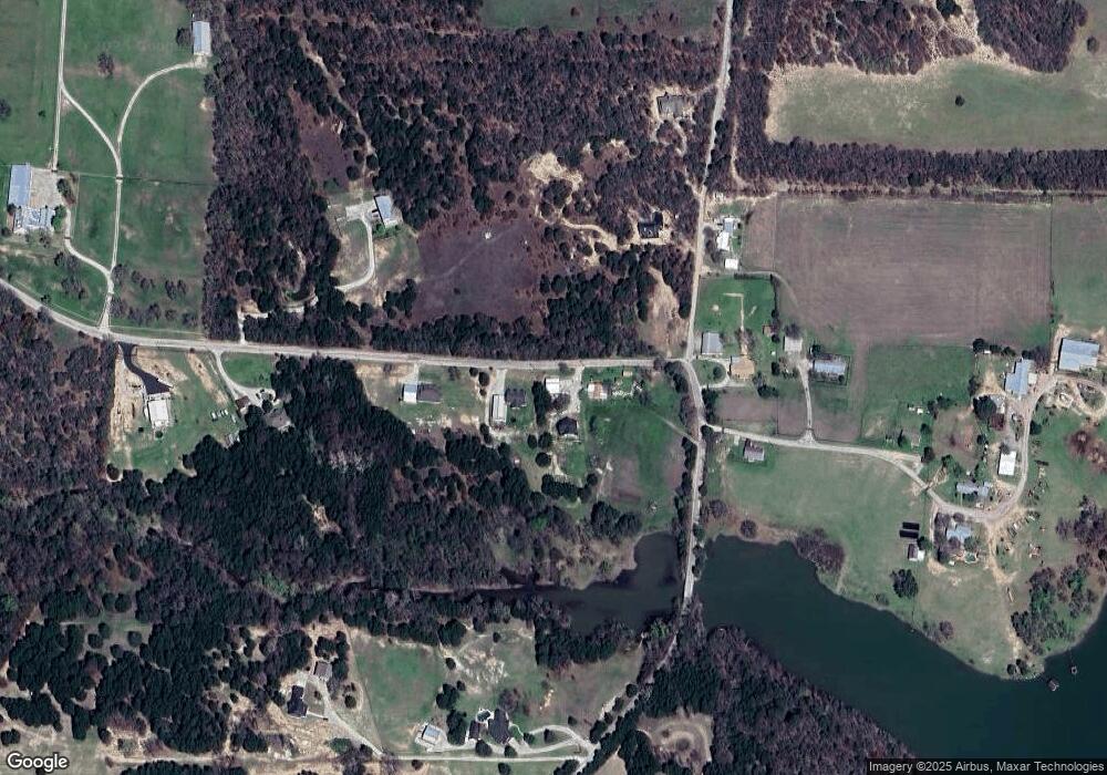
Map
Nearby Homes
- Lot 12 Cedar Springs Estates
- 362 Decatur Cemetery Rd
- 114 Cemetery Rd
- 3092 N Trinity St
- 2811 N Trinity St
- 165 Quail Ridge Ct
- 175 Quail Ridge Ct
- 1952 Old Decatur Rd
- 918 Old Decatur Rd
- TBD E Hwy 380 Hwy
- 307 E Vernon St
- 114 Sondra Lin Blvd
- 903 N Miller St
- 2270 County Road 2360
- 802 N Church St
- 101 E Mulberry St
- 304 Cyndilu Ln
- 700 N Church St
- 602 N Cates St
- 302 E Ash St
- 658 Cemetery Rd
- 652 Cemetery Rd
- 788 Cemetery Rd
- 674 Cemetery Rd
- 121 County Road 2140
- 660 Cemetery Rd
- 160 County Road 2140
- 643 Cemetery Rd
- 626 Cemetery Rd
- 638 Cemetery Rd
- 796 Decatur Cemetery Rd
- 644 Cemetery Rd
- 644 Cemetery Rd
- 614 Cemetery Rd
- 831 Cemetery Rd
- 875 Cemetery Rd
- LOT 8 Cedar Springs Dr
- 232 County Road 2140
- 232 County Road 2140
- 232 County Road 2140