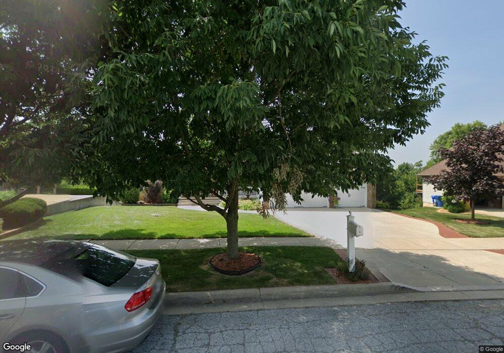
662 Davis Cir Crown Point, IN 46307
Crown Point AreaEstimated Value: $557,000 - $682,545
About This Home
This home is located at 662 Davis Cir, Crown Point, IN 46307 and is currently estimated at $647,386, approximately $217 per square foot. 662 Davis Cir is a home located in Lake County with nearby schools including Lake Street Elementary School, Robert Taft Middle School, and Crown Point High School.
Ownership History
We collect this data history from publicly available records. To have your information removed, we recommend requesting removal directly through your county’s website.
Purchase Details
Purchase Details
Home Financials for this Owner
Home Financials are based on the most recent Mortgage that was taken out on this home.Home Values in the Area
Average Home Value in this Area
Purchase History
We collect this data history from publicly available records. To have your information removed, we recommend requesting removal directly through your county’s website.
| Date | Buyer | Sale Price | Title Company |
|---|---|---|---|
| -- | None Available | ||
| -- | Ticor Schererville |
Mortgage History
We collect this data history from publicly available records. To have your information removed, we recommend requesting removal directly through your county’s website.
| Date | Status | Borrower | Loan Amount |
|---|---|---|---|
| Open | $81,500 | ||
| Open | $302,000 | ||
| Closed | $332,930 | ||
| Closed | $330,300 | ||
| Previous Owner | $328,000 |
Tax History
We collect this data history from publicly available records. To have your information removed, we recommend requesting removal directly through your county’s website.
| Year | Tax Paid | Tax Assessment Tax Assessment Total Assessment is a certain percentage of the fair market value that is determined by local assessors to be the total taxable value of land and additions on the property. | Land | Improvement |
|---|---|---|---|---|
| 2025 | $5,112 | $535,500 | $90,800 | $444,700 |
| 2024 | $12,538 | $513,200 | $90,800 | $422,400 |
| 2023 | $5,067 | $456,200 | $77,800 | $378,400 |
| 2022 | $4,815 | $429,600 | $77,800 | $351,800 |
| 2021 | $4,677 | $417,500 | $60,500 | $357,000 |
| 2020 | $4,436 | $396,300 | $60,500 | $335,800 |
| 2019 | $4,524 | $400,100 | $60,500 | $339,600 |
| 2018 | $5,850 | $400,100 | $60,500 | $339,600 |
| 2017 | $5,347 | $365,800 | $60,500 | $305,300 |
| 2016 | $5,354 | $360,700 | $60,500 | $300,200 |
| 2014 | $4,655 | $337,800 | $60,500 | $277,300 |
| 2013 | $4,511 | $325,600 | $60,500 | $265,100 |
Map
- 669 Davis Cir
- 673 Davis Cir
- 597 O Hagan Dr
- 821 Mary Ellen Dr
- 503 O Hagan Dr
- 1030 Foy Ct
- 730 Quinlan Ct
- 770 Quinlan Ct
- 804 Shannon Dr
- 1095 Allison St
- 914 Lillian Russell Ct
- 629 W South St
- 814 Haymarket Cir
- 815 Hayfield Dr
- 915 Betty Ln
- 1089 George Ade Ct
- 778 Ronny Ct
- 27 Walnut Pkwy
- 412 W South St
- 405 Fairview Ave
Ask me questions while you tour the home.