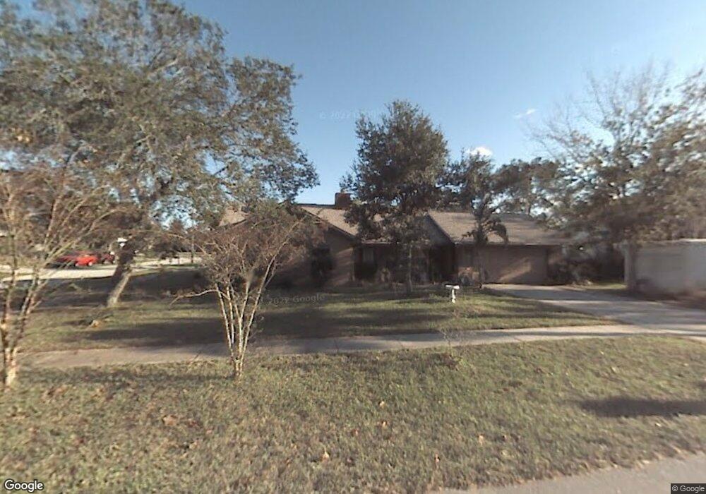
662 George Miller Cir Port Orange, FL 32127
Port Orange West NeighborhoodEstimated Value: $327,000 - $378,000
4
Beds
2
Baths
1,653
Sq Ft
$211/Sq Ft
Est. Value
About This Home
This home is located at 662 George Miller Cir, Port Orange, FL 32127 and is currently estimated at $348,471, approximately $210 per square foot. 662 George Miller Cir is a home located in Volusia County with nearby schools including Sweetwater Elementary School, Creekside Middle School, and Spruce Creek High School.
Ownership History
Date
Name
Owned For
Owner Type
Purchase Details
Closed on
Jun 9, 1995
Sold by
Gentry Robert B
Bought by
Bonin Kenneth R and Bonin Sandra L
Current Estimated Value
Home Financials for this Owner
Home Financials are based on the most recent Mortgage that was taken out on this home.
Original Mortgage
$71,700
Interest Rate
8.21%
Mortgage Type
FHA
Purchase Details
Closed on
Mar 10, 1995
Sold by
Somerville David
Bought by
Gentry Robert
Purchase Details
Closed on
Jan 15, 1992
Bought by
Bonin Kenneth R and Bonin Sandra L
Purchase Details
Closed on
Aug 15, 1990
Bought by
Bonin Kenneth R and Bonin Sandra L
Purchase Details
Closed on
Jan 15, 1990
Bought by
Bonin Kenneth R and Bonin Sandra L
Purchase Details
Closed on
Feb 15, 1988
Bought by
Bonin Kenneth R and Bonin Sandra L
Purchase Details
Closed on
May 15, 1985
Bought by
Bonin Kenneth R and Bonin Sandra L
Create a Home Valuation Report for This Property
The Home Valuation Report is an in-depth analysis detailing your home's value as well as a comparison with similar homes in the area
Home Values in the Area
Average Home Value in this Area
Purchase History
| Date | Buyer | Sale Price | Title Company |
|---|---|---|---|
| Bonin Kenneth R | $72,000 | -- | |
| Gentry Robert | -- | -- | |
| Bonin Kenneth R | $20,000 | -- | |
| Bonin Kenneth R | $100 | -- | |
| Bonin Kenneth R | $100 | -- | |
| Bonin Kenneth R | $68,000 | -- | |
| Bonin Kenneth R | $68,900 | -- |
Source: Public Records
Mortgage History
| Date | Status | Borrower | Loan Amount |
|---|---|---|---|
| Closed | Bonin Kenneth R | $71,700 |
Source: Public Records
Tax History Compared to Growth
Tax History
| Year | Tax Paid | Tax Assessment Tax Assessment Total Assessment is a certain percentage of the fair market value that is determined by local assessors to be the total taxable value of land and additions on the property. | Land | Improvement |
|---|---|---|---|---|
| 2025 | $1,321 | $116,905 | -- | -- |
| 2024 | $1,321 | $113,611 | -- | -- |
| 2023 | $1,321 | $110,302 | $0 | $0 |
| 2022 | $1,257 | $107,089 | $0 | $0 |
| 2021 | $1,269 | $103,970 | $0 | $0 |
| 2020 | $1,234 | $102,535 | $0 | $0 |
| 2019 | $1,188 | $100,230 | $0 | $0 |
| 2018 | $1,180 | $98,361 | $0 | $0 |
| 2017 | $1,174 | $96,338 | $0 | $0 |
| 2016 | $1,161 | $94,357 | $0 | $0 |
| 2015 | $1,191 | $93,701 | $0 | $0 |
| 2014 | $1,191 | $92,957 | $0 | $0 |
Source: Public Records
Map
Nearby Homes
- 653 Sweetwood Dr
- 771 Tumblebrook Dr
- 744 Hawks Ridge Rd
- 769 Osprey Dr
- 761 Tumblebrook Dr
- 749 Tumblebrook Dr
- 5994 Seminole Woods Dr
- 823 Bayridge Ln
- 5836 Spruce Creek Woods Dr
- 740 English Oaks Dr
- 739 English Oaks Dr
- 5945 Doraville Dr
- 783 Highgarden Dr
- 732 English Oaks Dr
- 5822 Spruce Creek Woods Dr
- 725 English Oaks Dr
- 5936 Boggs Ford Rd
- 5953 Boggs Ford Rd
- 5949 Boggs Ford Rd
- 722 English Oaks Dr
- 664 George Miller Cir
- 668 Tumblebrook Dr
- 666 George Miller Cir
- 667 Tumblebrook Dr
- 665 Tumblebrook Dr
- 662 Tumblebrook Dr
- 663 Tumblebrook Dr
- 665 George Miller Cir
- 671 Tumblebrook Dr
- 668 George Miller Cir
- 667 George Miller Cir
- 661 Tumblebrook Dr
- 672 Tumblebrook Dr
- 721 Hawks Ridge Rd
- 682 Reillys Rd
- 719 Hawks Ridge Rd
- 684 Reillys Rd
- 723 Hawks Ridge Rd
- 675 Tumblebrook Dr
- 680 Reillys Rd