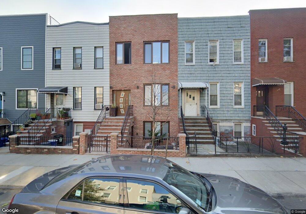
662 Humboldt St Brooklyn, NY 11222
Greenpoint NeighborhoodEstimated Value: $1,797,000 - $2,826,000
--
Bed
--
Bath
2,538
Sq Ft
$904/Sq Ft
Est. Value
About This Home
This home is located at 662 Humboldt St, Brooklyn, NY 11222 and is currently estimated at $2,295,333, approximately $904 per square foot. 662 Humboldt St is a home located in Kings County with nearby schools including P.S. 110 - The Monitor School, Northside Charter High School, and St. Stanislaus Kostka Catholic Academy.
Ownership History
Date
Name
Owned For
Owner Type
Purchase Details
Closed on
Nov 17, 1999
Sold by
Kuczmarski Florence
Bought by
Laszczkowski Krzysztof and Grunland Boguslawa
Current Estimated Value
Home Financials for this Owner
Home Financials are based on the most recent Mortgage that was taken out on this home.
Original Mortgage
$173,550
Interest Rate
7%
Create a Home Valuation Report for This Property
The Home Valuation Report is an in-depth analysis detailing your home's value as well as a comparison with similar homes in the area
Home Values in the Area
Average Home Value in this Area
Purchase History
| Date | Buyer | Sale Price | Title Company |
|---|---|---|---|
| Laszczkowski Krzysztof | $267,000 | -- |
Source: Public Records
Mortgage History
| Date | Status | Borrower | Loan Amount |
|---|---|---|---|
| Previous Owner | Laszczkowski Krzysztof | $173,550 |
Source: Public Records
Tax History Compared to Growth
Tax History
| Year | Tax Paid | Tax Assessment Tax Assessment Total Assessment is a certain percentage of the fair market value that is determined by local assessors to be the total taxable value of land and additions on the property. | Land | Improvement |
|---|---|---|---|---|
| 2025 | $6,735 | $100,260 | $15,000 | $85,260 |
| 2024 | $6,735 | $117,960 | $15,000 | $102,960 |
| 2023 | $6,461 | $138,060 | $15,000 | $123,060 |
| 2022 | $6,008 | $112,980 | $15,000 | $97,980 |
| 2021 | $6,334 | $89,400 | $15,000 | $74,400 |
| 2020 | $4,750 | $104,280 | $15,000 | $89,280 |
| 2019 | $5,846 | $104,700 | $15,000 | $89,700 |
| 2018 | $5,404 | $26,512 | $4,205 | $22,307 |
| 2017 | $5,113 | $25,081 | $4,736 | $20,345 |
| 2016 | $5,014 | $25,081 | $6,392 | $18,689 |
| 2015 | $2,854 | $24,657 | $9,429 | $15,228 |
| 2014 | $2,854 | $23,288 | $8,905 | $14,383 |
Source: Public Records
Map
Nearby Homes
- 690 Humboldt St
- 221 Nassau Ave
- 37 Jewel St
- 171 Monitor St
- 101 Monitor St
- 38 Broome St Unit 1A
- 240 Kingsland Ave Unit 3R
- 36 Russell St Unit 22
- 100 Newel St Unit 4R
- 285A Kingsland Ave Unit 2
- 104 Newel St Unit 3
- 104 Newel St Unit 4
- 104 Newel St Unit 2
- 183 Kingsland Ave Unit 3
- 110 Eckford St Unit 4
- 96 Eckford St Unit GARDEN-L
- 96 Eckford St Unit PHR
- 96 Eckford St Unit PHL
- 96 Eckford St Unit 2-L
- 96 Eckford St Unit GARDEN-R
- 664 Humboldt St
- 660 Humboldt St
- 666 Humboldt St
- 658 Humboldt St
- 668 Humboldt St
- 656 Humboldt St
- 670 Humboldt St
- 654 Humboldt St
- 654 Humboldt St Unit THOUSE
- 654 Humboldt St Unit 1
- 672 Humboldt St
- 652 Humboldt St
- 652 Humboldt St Unit 1
- 115 Russell St
- 111 Russell St
- 117 Russell St
- 674 Humboldt St
- 119 Russell St
- 107 Russell St
- 109 Russell St