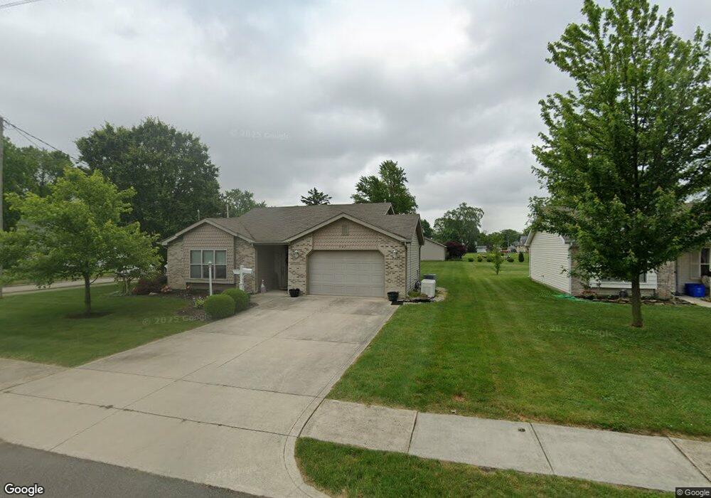
662 Monroe St van Wert, OH 45891
Estimated Value: $149,000 - $184,000
3
Beds
2
Baths
1,068
Sq Ft
$155/Sq Ft
Est. Value
About This Home
This home is located at 662 Monroe St, van Wert, OH 45891 and is currently estimated at $166,019, approximately $155 per square foot. 662 Monroe St is a home located in Van Wert County with nearby schools including Van Wert Early Childhood Center, Van Wert High School, and Lifelinks Community School.
Ownership History
Date
Name
Owned For
Owner Type
Purchase Details
Closed on
Dec 13, 2006
Sold by
Biggs Ralph E
Bought by
Cook Cynhita J
Current Estimated Value
Home Financials for this Owner
Home Financials are based on the most recent Mortgage that was taken out on this home.
Original Mortgage
$97,626
Outstanding Balance
$58,239
Interest Rate
6.27%
Mortgage Type
New Conventional
Estimated Equity
$107,780
Create a Home Valuation Report for This Property
The Home Valuation Report is an in-depth analysis detailing your home's value as well as a comparison with similar homes in the area
Home Values in the Area
Average Home Value in this Area
Purchase History
| Date | Buyer | Sale Price | Title Company |
|---|---|---|---|
| Cook Cynhita J | $102,800 | Rels Title |
Source: Public Records
Mortgage History
| Date | Status | Borrower | Loan Amount |
|---|---|---|---|
| Open | Cook Cynhita J | $97,626 |
Source: Public Records
Tax History
| Year | Tax Paid | Tax Assessment Tax Assessment Total Assessment is a certain percentage of the fair market value that is determined by local assessors to be the total taxable value of land and additions on the property. | Land | Improvement |
|---|---|---|---|---|
| 2024 | $1,547 | $45,400 | $4,190 | $41,210 |
| 2023 | $1,521 | $45,400 | $4,190 | $41,210 |
| 2022 | $1,461 | $38,130 | $4,050 | $34,080 |
| 2021 | $1,423 | $38,130 | $4,050 | $34,080 |
| 2020 | $1,419 | $38,130 | $4,050 | $34,080 |
| 2019 | $1,260 | $33,260 | $4,050 | $29,210 |
| 2018 | $1,239 | $33,260 | $4,050 | $29,210 |
| 2017 | $1,209 | $33,260 | $4,050 | $29,210 |
| 2016 | $1,125 | $31,550 | $4,050 | $27,500 |
| 2015 | $1,126 | $31,550 | $4,050 | $27,500 |
| 2014 | $1,113 | $31,550 | $4,050 | $27,500 |
| 2013 | $1,199 | $31,550 | $4,050 | $27,500 |
Source: Public Records
Map
Nearby Homes
- 515 N Jefferson St
- 702 N Washington St
- 142 Gleason Ave
- 634 N Market St
- 692 N Market St
- 151 Blaine St
- 138 E 2nd St
- 409 N Market St
- 302 Shaffer St
- 222 Shaffer St
- 000 Lincoln Hwy
- 14934 Lincoln Hwy
- 00 Lincoln Hwy
- 114 S Wall St
- 129 S Lynn St
- 205 N Chestnut St
- 224 Woodstock Dr
- 142 E Raymond St
- 522 South Ave
- 631 S Washington St
- 656 Monroe St
- 226 College Ave
- 243 College Ave
- 237 College Ave
- 249 College Ave
- 648 Monroe St
- 231 College Ave
- 225 College Ave
- 642 Monroe St
- 714 Brief St
- 712 Brief St
- 219 College Ave
- 310 Anderson Ave
- 313 Anderson Ave
- 636 Monroe St
- 315 Anderson Ave
- 726 Brief St
- 724 Brief St
- 630 Monroe St
- 317 Anderson Ave
Your Personal Tour Guide
Ask me questions while you tour the home.