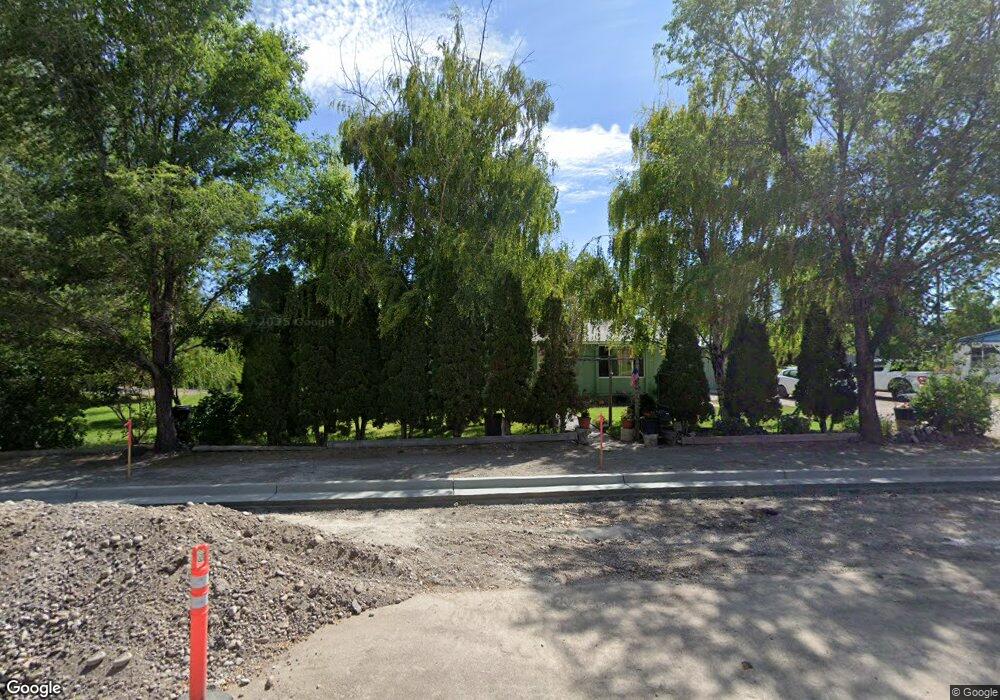
662 N 2858 E Roberts, ID 83444
Estimated Value: $253,000 - $271,000
3
Beds
2
Baths
1,230
Sq Ft
$214/Sq Ft
Est. Value
About This Home
This home is located at 662 N 2858 E, Roberts, ID 83444 and is currently estimated at $263,026, approximately $213 per square foot. 662 N 2858 E is a home located in Jefferson County with nearby schools including Midway Elementary School, Rigby Middle School, and Rigby High School.
Ownership History
Date
Name
Owned For
Owner Type
Purchase Details
Closed on
Mar 18, 2015
Sold by
Alvarez Mosqueda Octavio and Bravo Alvarez Alicia
Bought by
Alvarez Octavio
Current Estimated Value
Home Financials for this Owner
Home Financials are based on the most recent Mortgage that was taken out on this home.
Original Mortgage
$60,847
Outstanding Balance
$46,950
Interest Rate
4.12%
Mortgage Type
FHA
Estimated Equity
$216,076
Purchase Details
Closed on
Nov 10, 2006
Sold by
Scott Steven Michell and Scott Annette
Bought by
Alvarez Mosqueda Octavio and Bravo Alvarez Alica
Home Financials for this Owner
Home Financials are based on the most recent Mortgage that was taken out on this home.
Original Mortgage
$53,400
Interest Rate
6.36%
Mortgage Type
Unknown
Create a Home Valuation Report for This Property
The Home Valuation Report is an in-depth analysis detailing your home's value as well as a comparison with similar homes in the area
Purchase History
| Date | Buyer | Sale Price | Title Company |
|---|---|---|---|
| Alvarez Octavio | -- | First American Title | |
| Alvarez Mosqueda Octavio | -- | -- |
Source: Public Records
Mortgage History
| Date | Status | Borrower | Loan Amount |
|---|---|---|---|
| Open | Alvarez Octavio | $60,847 | |
| Closed | Alvarez Mosqueda Octavio | $53,400 |
Source: Public Records
Tax History
| Year | Tax Paid | Tax Assessment Tax Assessment Total Assessment is a certain percentage of the fair market value that is determined by local assessors to be the total taxable value of land and additions on the property. | Land | Improvement |
|---|---|---|---|---|
| 2025 | $815 | $194,661 | $0 | $0 |
| 2024 | $815 | $181,841 | $0 | $0 |
| 2023 | $938 | $179,516 | $0 | $0 |
| 2022 | $1,154 | $154,276 | $0 | $0 |
| 2021 | $1,084 | $110,268 | $0 | $0 |
| 2020 | $943 | $96,465 | $0 | $0 |
| 2019 | $943 | $83,119 | $0 | $0 |
| 2018 | $911 | $76,850 | $0 | $0 |
| 2017 | $911 | $75,475 | $0 | $0 |
| 2016 | $912 | $37,764 | $0 | $0 |
| 2015 | $886 | $35,336 | $0 | $0 |
| 2014 | $736 | $30,498 | $0 | $0 |
| 2013 | -- | $29,012 | $0 | $0 |
Source: Public Records
Map
Nearby Homes
Your Personal Tour Guide
Ask me questions while you tour the home.