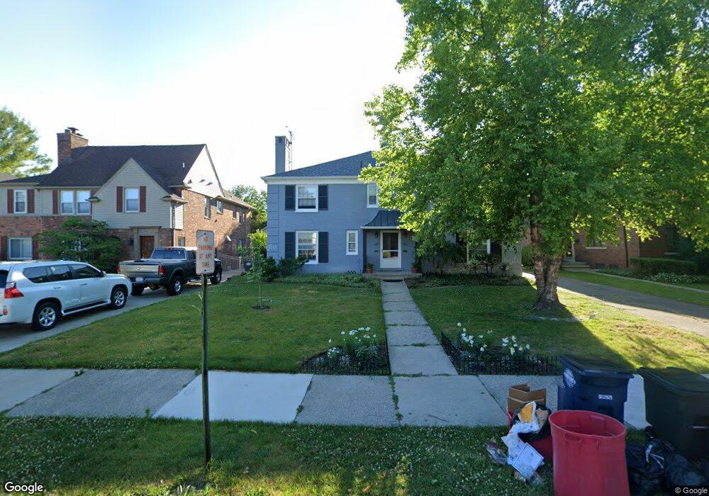
662 Neff Rd Grosse Pointe, MI 48230
Estimated Value: $540,000 - $690,000
--
Bed
2
Baths
3,940
Sq Ft
$150/Sq Ft
Est. Value
About This Home
This home is located at 662 Neff Rd, Grosse Pointe, MI 48230 and is currently estimated at $590,899, approximately $149 per square foot. 662 Neff Rd is a home located in Wayne County with nearby schools including Lewis Maire Elementary School, Pierce Middle School, and Grosse Pointe South High School.
Ownership History
Date
Name
Owned For
Owner Type
Purchase Details
Closed on
Mar 9, 2023
Sold by
Hudock Elizabeth A
Bought by
Sandercott James and Taylor Debbie
Current Estimated Value
Purchase Details
Closed on
Apr 21, 2022
Sold by
Catherine Hudock Mary
Bought by
Hudock Elizabeth A
Purchase Details
Closed on
Nov 8, 2021
Sold by
Preston Catherine and Hudock Mary Catherine
Bought by
Hudock Elizabeth A and Hudock Mary Catherine
Purchase Details
Closed on
Oct 28, 2021
Sold by
Preston Laura A
Bought by
Preston Catherine
Purchase Details
Closed on
Apr 24, 2007
Sold by
Reynolds Noel and Reynolds Michael
Bought by
Preston Laura A
Purchase Details
Closed on
Jan 11, 2007
Sold by
Preston Barbara A
Bought by
Barbara A Preston Revocable Living Trust
Purchase Details
Closed on
Sep 22, 2005
Sold by
Preston Barbara A and Brady Osborne R
Bought by
Preston Barbara A
Create a Home Valuation Report for This Property
The Home Valuation Report is an in-depth analysis detailing your home's value as well as a comparison with similar homes in the area
Home Values in the Area
Average Home Value in this Area
Purchase History
| Date | Buyer | Sale Price | Title Company |
|---|---|---|---|
| Sandercott James | $365,000 | Ata National Title | |
| Hudock Elizabeth A | -- | None Listed On Document | |
| Hudock Elizabeth A | -- | None Available | |
| Preston Catherine | -- | None Available | |
| Preston Laura A | -- | None Available | |
| Barbara A Preston Revocable Living Trust | -- | None Available | |
| Preston Barbara A | -- | None Available | |
| Preston Barbara A | -- | None Available |
Source: Public Records
Tax History Compared to Growth
Tax History
| Year | Tax Paid | Tax Assessment Tax Assessment Total Assessment is a certain percentage of the fair market value that is determined by local assessors to be the total taxable value of land and additions on the property. | Land | Improvement |
|---|---|---|---|---|
| 2025 | $9,653 | $267,500 | $0 | $0 |
| 2024 | $9,653 | $283,900 | $0 | $0 |
| 2023 | $4,805 | $252,300 | $0 | $0 |
| 2022 | $7,881 | $227,600 | $0 | $0 |
| 2021 | $7,464 | $210,500 | $0 | $0 |
| 2019 | $8,167 | $185,900 | $0 | $0 |
| 2018 | $5,782 | $167,400 | $0 | $0 |
| 2017 | $4,403 | $165,300 | $0 | $0 |
| 2016 | $6,941 | $156,500 | $0 | $0 |
| 2015 | $11,902 | $143,000 | $0 | $0 |
| 2013 | $11,530 | $121,300 | $0 | $0 |
| 2012 | -- | $112,600 | $0 | $0 |
Source: Public Records
Map
Nearby Homes
- 674 Neff Rd
- 710 Neff Rd
- 775 Notre Dame St
- 795 Grosse Pointe Ct
- 497 Neff Rd
- 616 Cadieux Rd
- 818 Neff Rd
- 25 Village Ln
- 459 Washington Rd
- 45 Cranford Ln
- 43 Cranford Ln
- 16935 Maumee Ave
- 379 Lakeland St
- 1386 Grayton St
- 683 Lincoln Rd
- 17012 Maumee Ave
- 180 Fisher Rd
- 387 Neff Rd
- 745 Lincoln Rd
- 355 Lincoln Rd