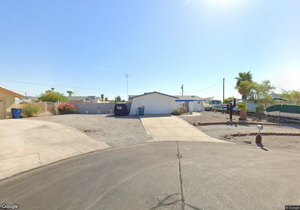
662 Papoose Ln Lake Havasu City, AZ 86406
Estimated Value: $408,291 - $521,000
--
Bed
1
Bath
1,421
Sq Ft
$330/Sq Ft
Est. Value
About This Home
This home is located at 662 Papoose Ln, Lake Havasu City, AZ 86406 and is currently estimated at $468,823, approximately $329 per square foot. 662 Papoose Ln is a home located in Mohave County with nearby schools including Starline Elementary School, Thunderbolt Middle School, and Lake Havasu High School.
Ownership History
Date
Name
Owned For
Owner Type
Purchase Details
Closed on
Apr 21, 2023
Sold by
Parrish Casey D
Bought by
Parrish Casey and Warren Erika
Current Estimated Value
Home Financials for this Owner
Home Financials are based on the most recent Mortgage that was taken out on this home.
Original Mortgage
$250,000
Outstanding Balance
$243,216
Interest Rate
6.73%
Mortgage Type
New Conventional
Estimated Equity
$225,607
Purchase Details
Closed on
Oct 4, 2001
Sold by
Wrisk Larry Eddie and Wrisk Shirley June
Bought by
Parrish Casey D and Parrish Amy M
Home Financials for this Owner
Home Financials are based on the most recent Mortgage that was taken out on this home.
Original Mortgage
$72,000
Interest Rate
6.62%
Create a Home Valuation Report for This Property
The Home Valuation Report is an in-depth analysis detailing your home's value as well as a comparison with similar homes in the area
Home Values in the Area
Average Home Value in this Area
Purchase History
| Date | Buyer | Sale Price | Title Company |
|---|---|---|---|
| Parrish Casey | -- | Great American Title | |
| Parrish Casey D | $90,000 | First American Title |
Source: Public Records
Mortgage History
| Date | Status | Borrower | Loan Amount |
|---|---|---|---|
| Open | Parrish Casey | $250,000 | |
| Previous Owner | Parrish Casey D | $72,000 |
Source: Public Records
Tax History Compared to Growth
Tax History
| Year | Tax Paid | Tax Assessment Tax Assessment Total Assessment is a certain percentage of the fair market value that is determined by local assessors to be the total taxable value of land and additions on the property. | Land | Improvement |
|---|---|---|---|---|
| 2026 | $531 | -- | -- | -- |
| 2025 | $1,075 | $39,130 | $0 | $0 |
| 2024 | $1,075 | $40,766 | $0 | $0 |
| 2023 | $1,075 | $32,687 | $0 | $0 |
| 2022 | $1,035 | $23,927 | $0 | $0 |
| 2021 | $1,215 | $21,892 | $0 | $0 |
| 2019 | $1,157 | $17,412 | $0 | $0 |
| 2018 | $1,120 | $16,052 | $0 | $0 |
| 2017 | $1,102 | $14,793 | $0 | $0 |
| 2016 | $981 | $13,225 | $0 | $0 |
| 2015 | $956 | $11,268 | $0 | $0 |
Source: Public Records
Map
Nearby Homes
- 2890 Yuma Dr
- 2820 Indian Springs Dr
- 2951 Inca Dr
- 2821 Indian Pipe Dr
- 3066 Star Dr
- 1041 Rolling Hills Dr
- 700 Apache Dr
- 3059 Shoshone Dr
- 680 Yosemite Dr
- 2721 Southwind Ave
- 2741 Jericho Dr
- 3072 Shoshone Dr
- 850 Thunderbolt Ave
- 3150 Star Dr
- 3118 Shoshone Dr
- 3135 Cotati Dr
- 3145 Arapaho Dr Unit 101
- 2910 Coconino Dr
- 2970 War Eagle Dr
- 3161 Maricopa