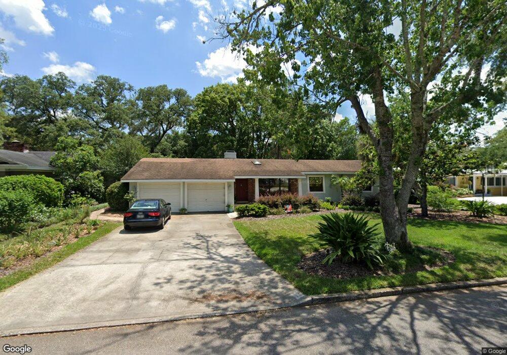
662 Randy Ln Winter Park, FL 32789
Estimated Value: $762,360 - $985,000
3
Beds
2
Baths
2,004
Sq Ft
$422/Sq Ft
Est. Value
About This Home
This home is located at 662 Randy Ln, Winter Park, FL 32789 and is currently estimated at $846,340, approximately $422 per square foot. 662 Randy Ln is a home located in Orange County with nearby schools including Audubon Park School, Winter Park High, and Central Florida Leadership Academy Charter.
Ownership History
Date
Name
Owned For
Owner Type
Purchase Details
Closed on
Jan 29, 2008
Sold by
Boss E Preston and Boss Nancy
Bought by
Ritland David M and Ritland Yasemin S
Current Estimated Value
Home Financials for this Owner
Home Financials are based on the most recent Mortgage that was taken out on this home.
Original Mortgage
$63,000
Outstanding Balance
$9,281
Interest Rate
5.85%
Mortgage Type
Credit Line Revolving
Estimated Equity
$837,059
Create a Home Valuation Report for This Property
The Home Valuation Report is an in-depth analysis detailing your home's value as well as a comparison with similar homes in the area
Home Values in the Area
Average Home Value in this Area
Purchase History
We collect this data history from publicly available records. To have your information removed, we recommend requesting removal directly through your county’s website.
| Date | Buyer | Sale Price | Title Company |
|---|---|---|---|
| Ritland David M | $420,000 | Clear Title Of Florida Llc |
Source: Public Records
Mortgage History
We collect this data history from publicly available records. To have your information removed, we recommend requesting removal directly through your county’s website.
| Date | Status | Borrower | Loan Amount |
|---|---|---|---|
| Open | Ritland David M | $63,000 | |
| Open | Ritland David M | $336,000 |
Source: Public Records
Tax History
| Year | Tax Paid | Tax Assessment Tax Assessment Total Assessment is a certain percentage of the fair market value that is determined by local assessors to be the total taxable value of land and additions on the property. | Land | Improvement |
|---|---|---|---|---|
| 2026 | $4,419 | $315,549 | -- | -- |
| 2025 | $4,419 | $315,549 | -- | -- |
| 2024 | $4,081 | $307,253 | -- | -- |
| 2023 | $4,081 | $289,897 | $0 | $0 |
| 2022 | $3,738 | $281,453 | $0 | $0 |
| 2021 | $3,527 | $262,926 | $0 | $0 |
| 2020 | $3,388 | $259,296 | $0 | $0 |
| 2019 | $3,497 | $253,466 | $0 | $0 |
| 2018 | $3,473 | $248,740 | $0 | $0 |
| 2017 | $3,436 | $321,295 | $185,000 | $136,295 |
| 2016 | $3,364 | $318,817 | $185,000 | $133,817 |
| 2015 | $3,444 | $307,428 | $169,000 | $138,428 |
| 2014 | $3,472 | $298,611 | $188,000 | $110,611 |
Source: Public Records
Map
Nearby Homes
- 2228 Howard Dr
- 2361 Mulbry Dr
- 2119 Howard Dr
- 2823 Wright Ave
- 2838 Wright Ave
- 2111 Mallard Cir
- 1981 Blue Ridge Rd
- 2268 Osprey Ave
- 640 Arjay Way
- 1813 Harland Park Dr
- 3803 Ethan Ln
- 3884 Lower Park Rd
- 2713 Eastern Pkwy
- 3018 Northwood Blvd
- 2702 Parkland Dr
- 2001 Biddle Aly
- 1960 E Winter Park Rd
- 2040 Randall Cir
- 151 Oakwood Way
- 2501 Winter Park Rd
Your Personal Tour Guide
Ask me questions while you tour the home.