662 Us Highway 12 and 18 Cambridge, WI 53523
Estimated Value: $937,000 - $1,500,354
4
Beds
4
Baths
5,568
Sq Ft
$217/Sq Ft
Est. Value
About This Home
This home is located at 662 Us Highway 12 and 18, Cambridge, WI 53523 and is currently estimated at $1,210,118, approximately $217 per square foot. 662 Us Highway 12 and 18 is a home located in Dane County with nearby schools including Cambridge Elementary School, Nikolay Middle School, and Cambridge High School.
Ownership History
Date
Name
Owned For
Owner Type
Purchase Details
Closed on
Jul 29, 2015
Sold by
Eide Richard and Eide Cheryl
Bought by
Moran Scott and Moran Tonna
Current Estimated Value
Purchase Details
Closed on
Jul 17, 2015
Sold by
Moran Scott W and Moran Tonna K
Bought by
Moran Scott W and Moran Tonna K
Purchase Details
Closed on
Mar 25, 2008
Sold by
Moran Scott W
Bought by
Scott W Moran Homestead Qualified Person
Create a Home Valuation Report for This Property
The Home Valuation Report is an in-depth analysis detailing your home's value as well as a comparison with similar homes in the area
Home Values in the Area
Average Home Value in this Area
Purchase History
| Date | Buyer | Sale Price | Title Company |
|---|---|---|---|
| Moran Scott | $215,000 | Attorney | |
| Moran Scott W | -- | Attorney | |
| Moran Scott W | -- | Attorney | |
| Moran Tonna K | -- | Attorney | |
| Moran Scott W | -- | Attorney | |
| Scott W Moran Homestead Qualified Person | -- | None Available | |
| Tonna K Moran Homestead Qualified Person | -- | None Available | |
| Moran Scott W | -- | None Available | |
| Moran Tonna K | -- | None Available |
Source: Public Records
Tax History Compared to Growth
Tax History
| Year | Tax Paid | Tax Assessment Tax Assessment Total Assessment is a certain percentage of the fair market value that is determined by local assessors to be the total taxable value of land and additions on the property. | Land | Improvement |
|---|---|---|---|---|
| 2024 | $17,856 | $1,303,400 | $411,400 | $892,000 |
| 2023 | $13,660 | $1,067,100 | $175,100 | $892,000 |
| 2021 | $11,477 | $783,500 | $139,800 | $643,700 |
| 2020 | $10,660 | $783,500 | $139,800 | $643,700 |
| 2019 | $11,245 | $783,500 | $139,800 | $643,700 |
| 2018 | $10,985 | $783,500 | $139,800 | $643,700 |
| 2017 | $12,252 | $694,100 | $139,800 | $554,300 |
| 2016 | $12,153 | $694,100 | $139,800 | $554,300 |
| 2015 | $11,653 | $694,100 | $139,800 | $554,300 |
| 2014 | -- | $694,100 | $139,800 | $554,300 |
| 2013 | $12,299 | $694,100 | $139,800 | $554,300 |
Source: Public Records
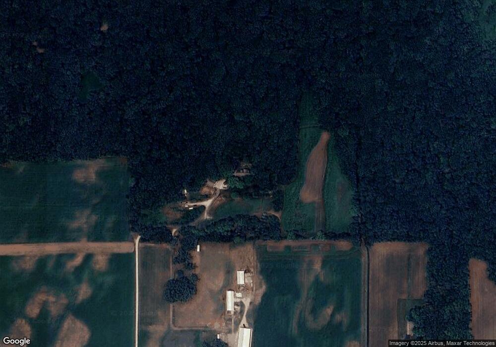
Map
Nearby Homes
- 209 Morningside Dr
- 803 Vineyard Ct
- 821 Vineyard Ct
- 322 Kleine St
- 708 Katie Ct
- 225 Whitetail Way Unit 28
- 322 Cottage Ln
- 624 Drumlin Trail
- 316 Washburn Rd
- 602 Woodhaven Ct
- 206 Hjemdal Ln
- Lot 2 Bue St
- Lot 1 Bue St
- 20 S Main St
- 100 Oak Ridge Ct
- Lot 1 Clear View Rd
- 24 Oak Ridge Trail
- 214 Johnson St
- 120 Waverly Dr Unit 10
- 123 Waverly Dr
- 638 Us Highway 12 and 18
- 586 Us Highway 12 and 18
- 578 Us Highway 12 and 18
- 549 State Farm Rd
- 543 State Farm Rd
- 3120 Fadness Rd
- 537 State Farm Rd
- 537 State Farm Rd L25
- 3101 Clear View Rd
- 529 State Farm Rd
- 513 State Farm Rd
- 513 State Farm Rd
- 515 State Farm Rd
- 3097 Fadness Rd
- 788 Us Highway 12 and 18
- 3078 Fadness Rd
- 461 State Farm Rd
- 810 Shaul Ln
- 810 Shaul Ln
- 447 State Farm Rd