6620 A C Smith Rd Dawsonville, GA 30534
Estimated Value: $752,000 - $1,339,086
2
Beds
1
Bath
3,262
Sq Ft
$337/Sq Ft
Est. Value
About This Home
This home is located at 6620 A C Smith Rd, Dawsonville, GA 30534 and is currently estimated at $1,099,362, approximately $337 per square foot. 6620 A C Smith Rd is a home located in Forsyth County with nearby schools including Silver City Elementary School, North Forsyth Middle School, and North Forsyth High School.
Ownership History
Date
Name
Owned For
Owner Type
Purchase Details
Closed on
Nov 26, 2019
Sold by
Cloud Greg
Bought by
Cox Benjamin and Cox Kelli
Current Estimated Value
Home Financials for this Owner
Home Financials are based on the most recent Mortgage that was taken out on this home.
Original Mortgage
$123,467
Interest Rate
3.7%
Mortgage Type
Commercial
Purchase Details
Closed on
May 3, 2016
Sold by
Lee Robert E
Bought by
Cloud Greg and Cloud Lori
Purchase Details
Closed on
Jun 6, 2006
Sold by
Lee Robert E
Bought by
Lee Robert E and Lee Voncile E
Create a Home Valuation Report for This Property
The Home Valuation Report is an in-depth analysis detailing your home's value as well as a comparison with similar homes in the area
Home Values in the Area
Average Home Value in this Area
Purchase History
| Date | Buyer | Sale Price | Title Company |
|---|---|---|---|
| Cox Benjamin | $240,000 | -- | |
| Cloud Greg | $160,000 | -- | |
| Lee Robert E | -- | -- |
Source: Public Records
Mortgage History
| Date | Status | Borrower | Loan Amount |
|---|---|---|---|
| Closed | Cox Benjamin | $123,467 |
Source: Public Records
Tax History Compared to Growth
Tax History
| Year | Tax Paid | Tax Assessment Tax Assessment Total Assessment is a certain percentage of the fair market value that is determined by local assessors to be the total taxable value of land and additions on the property. | Land | Improvement |
|---|---|---|---|---|
| 2025 | $11,789 | $558,256 | $123,572 | $434,684 |
| 2024 | $11,789 | $521,472 | $103,372 | $418,100 |
| 2023 | $11,044 | $496,736 | $99,808 | $396,928 |
| 2022 | $10,693 | $98,552 | $67,124 | $31,428 |
| 2021 | $2,721 | $98,552 | $67,124 | $31,428 |
| 2020 | $2,651 | $96,000 | $49,920 | $46,080 |
| 2019 | $2,511 | $90,784 | $47,236 | $43,548 |
| 2018 | $2,156 | $77,960 | $47,236 | $30,724 |
| 2017 | $1,776 | $64,000 | $48,240 | $15,760 |
| 2016 | $98 | $40,488 | $30,744 | $9,744 |
| 2015 | $98 | $40,488 | $30,744 | $9,744 |
| 2014 | $85 | $39,608 | $30,744 | $8,864 |
Source: Public Records
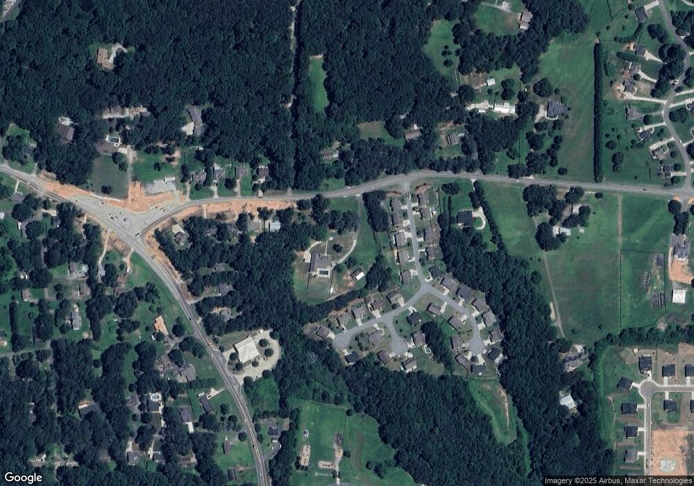
Map
Nearby Homes
- 7185 Carruthers Way
- 7185 Carruthers Way Unit LOT 26
- 7215 Carruthers Way
- 7215 Carruthers Way Unit LOT 24
- 7195 Carruthers Way Unit LOT 25
- 7225 Carruthers Way Unit LOT 23
- 7225 Carruthers Way
- 7195 Carruthers Way
- 6890 Ellorie Dr
- 6890 Ellorie Dr Unit LOT 3
- 6910 Ellorie Dr
- 6910 Ellorie Dr Unit LOT 4
- 6920 Ellorie Dr
- 6920 Ellorie Dr Unit LOT 5
- 244 Bryn Brooke Dr
- Birch Plan at Ellorie Estates
- Hazel Plan at Ellorie Estates
- Sapling Plan at Ellorie Estates
- 25 Haley Dr
- 8450 Forsyth Dr
- 6680 Whitebark Dr
- 6680 Whitebark Dr Unit 30
- 6690 Whitebark Dr Unit 29
- 0 Whitebark Dr Unit 8685271
- 0 Whitebark Dr Unit 8628761
- 0 Whitebark Dr Unit 8446373
- 0 Whitebark Dr Unit 7617054
- 0 Whitebark Dr Unit 8065814
- 0 Whitebark Dr Unit 8971208
- 0 Whitebark Dr Unit 9013315
- 0 Whitebark Dr Unit 8736077
- 0 Whitebark Dr Unit 8804006
- 0 Whitebark Dr Unit 8812952
- 0 Whitebark Dr Unit 8917070
- 0 Whitebark Dr Unit 7365697
- 0 Whitebark Dr Unit 7404095
- 0 Whitebark Dr Unit 7364539
- 0 Whitebark Dr Unit 7403168
- 0 Whitebark Dr Unit 7404096
- 0 Whitebark Dr