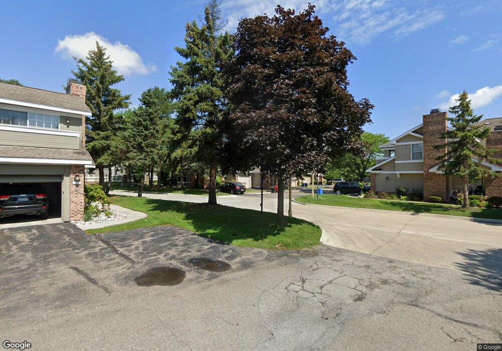
6620 Fireside Ct Unit 5 15 West Bloomfield, MI 48322
Estimated Value: $269,245 - $285,000
3
Beds
2
Baths
1,546
Sq Ft
$179/Sq Ft
Est. Value
About This Home
This home is located at 6620 Fireside Ct Unit 5 15, West Bloomfield, MI 48322 and is currently estimated at $277,311, approximately $179 per square foot. 6620 Fireside Ct Unit 5 15 is a home located in Oakland County with nearby schools including Sheiko Elementary School, West Bloomfield Middle School, and Bloomfield Maples Montessori.
Ownership History
Date
Name
Owned For
Owner Type
Purchase Details
Closed on
Sep 7, 2023
Sold by
Ouro Noor
Bought by
Ouro Group Llc
Current Estimated Value
Purchase Details
Closed on
Aug 1, 2023
Sold by
Ouro Rifaat
Bought by
Ouro Noor
Purchase Details
Closed on
May 13, 2021
Sold by
Ong Belly and Ong Fred
Bought by
Ouro Proprties Llc
Purchase Details
Closed on
May 12, 2021
Sold by
Ong Freddie and Ong Betty M
Bought by
Ong Freddie and Ong Betty M
Purchase Details
Closed on
Apr 11, 2003
Sold by
Ong Fred and Ong Betty M
Bought by
Ong Freddie and Ong Betty M
Create a Home Valuation Report for This Property
The Home Valuation Report is an in-depth analysis detailing your home's value as well as a comparison with similar homes in the area
Home Values in the Area
Average Home Value in this Area
Purchase History
| Date | Buyer | Sale Price | Title Company |
|---|---|---|---|
| Ouro Group Llc | -- | None Listed On Document | |
| Ouro Group Llc | -- | None Listed On Document | |
| Ouro Noor | -- | None Listed On Document | |
| Ouro Proprties Llc | $225,000 | Shield Title Agency Inc | |
| Ong Freddie | -- | None Available | |
| Ong Freddie | -- | Devon Title Agency |
Source: Public Records
Tax History Compared to Growth
Tax History
| Year | Tax Paid | Tax Assessment Tax Assessment Total Assessment is a certain percentage of the fair market value that is determined by local assessors to be the total taxable value of land and additions on the property. | Land | Improvement |
|---|---|---|---|---|
| 2024 | $4,288 | $117,660 | $0 | $0 |
| 2022 | $4,088 | $99,970 | $17,000 | $82,970 |
| 2021 | $3,103 | $94,750 | $0 | $0 |
| 2020 | $2,238 | $92,390 | $16,880 | $75,510 |
| 2018 | $2,923 | $82,660 | $16,880 | $65,780 |
| 2015 | -- | $62,320 | $0 | $0 |
| 2014 | -- | $54,970 | $0 | $0 |
| 2011 | -- | $55,730 | $0 | $0 |
Source: Public Records
Map
Nearby Homes
- 6614 Embers Ct
- 6621 Bellows Ct Unit 62
- 6651 Hearthside Ct Unit 1
- 4161 Breckenridge Dr
- 6322 Pepper Hill St Unit 62
- 6222 Pepper Hill St
- 6843 Leslee Crest Dr
- 4185 Pinehurst Ct
- 7027 Beverly Crest Dr
- 6906 Pebblecreek Woods Dr
- 6904 Pebble Park Cir
- 6145 Orchard Lake Rd Unit 204
- 6151 Orchard Lake Rd Unit 103
- 6769 Heather Heath
- 23617 Trailview Dr Unit 29
- 23601 Trailview Dr Unit 37
- 6109 Orchard Lake Rd Unit 101
- 6624 Mellow Wood Ln
- 7118 Pebble Park Dr
- 4392 Gateway Cir Unit 59
- 6620 Fireside Ct Unit 15
- 6620 Fireside Ct
- 6627 Hearthside Ct
- 6644 Fireside Ct
- 6619 Fireside Ct Unit 7
- 6619 Fireside Ct Unit 3 7
- 6601 Bellows Ct Unit 54
- 6602 Embers Ct
- 6626 Hearthside Ct Unit 22
- 6600 Bellows Ct
- 6612 Embers Ct Unit 51
- 6612 Embers Ct
- 6612 Embers Ct Unit 17 51
- 6650 Hearthside Ct
- 6617 Bellows Ct
- 6603 Chimney Sweep
- 6603 Chimney Sweep Unit 70
- 6622 Embers Ct Unit 43
- 6622 Embers Ct
- 6622 Embers Ct Unit 15 43