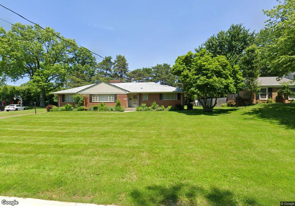
6620 Michael Dr Cincinnati, OH 45243
Estimated Value: $508,580 - $609,000
3
Beds
4
Baths
2,500
Sq Ft
$225/Sq Ft
Est. Value
About This Home
This home is located at 6620 Michael Dr, Cincinnati, OH 45243 and is currently estimated at $561,645, approximately $224 per square foot. 6620 Michael Dr is a home located in Hamilton County with nearby schools including Indian Hill Primary School, Indian Hill Elementary School, and Indian Hill Middle School.
Create a Home Valuation Report for This Property
The Home Valuation Report is an in-depth analysis detailing your home's value as well as a comparison with similar homes in the area
Home Values in the Area
Average Home Value in this Area
Tax History
| Year | Tax Paid | Tax Assessment Tax Assessment Total Assessment is a certain percentage of the fair market value that is determined by local assessors to be the total taxable value of land and additions on the property. | Land | Improvement |
|---|---|---|---|---|
| 2025 | $6,092 | $147,550 | $36,593 | $110,957 |
| 2024 | $6,094 | $147,550 | $36,593 | $110,957 |
| 2023 | $6,014 | $147,550 | $36,593 | $110,957 |
| 2022 | $5,705 | $114,794 | $25,029 | $89,765 |
| 2021 | $5,670 | $114,794 | $25,029 | $89,765 |
| 2020 | $4,954 | $114,794 | $25,029 | $89,765 |
| 2019 | $4,686 | $100,696 | $21,956 | $78,740 |
| 2018 | $4,692 | $100,696 | $21,956 | $78,740 |
| 2017 | $4,549 | $100,696 | $21,956 | $78,740 |
| 2016 | $4,295 | $93,097 | $19,982 | $73,115 |
| 2015 | $4,260 | $93,097 | $19,982 | $73,115 |
| 2014 | $4,226 | $93,097 | $19,982 | $73,115 |
| 2013 | $4,171 | $88,663 | $19,030 | $69,633 |
Source: Public Records
Map
Nearby Homes
- 7752 Montgomery Rd
- 7159 Hosbrook Rd
- 7321 Hosbrook Rd
- 7151 Euclid Ave
- 6752 Rose Crest Ave
- 7220 Mar Del Dr
- 7406 Dawson Rd
- 7317 Euclid Ave
- 7024 Fowler Ave
- 4390 Yakima Ct
- 7389 Southside Ave
- 7300 N Mingo Ln
- 4673 Happiness Way
- 7503 S Timberlane Dr
- 7474 Dawson Rd
- 7156 Maple Ave
- 4300 Hegner Ave
- 7938 Queens Ave
- 4248 South Ave
- 4267 Clifford Rd
- 6634 Michael Dr
- 6608 Michael Dr
- 7311 Vinnedge Ct
- 6619 Michael Dr
- 6648 Michael Dr
- 6631 Michael Dr
- 6596 Michael Dr
- 6643 Michael Dr
- 7321 Vinnedge Ct
- 6584 Michael Dr
- 6655 Michael Dr
- 6572 Michael Dr
- 6565 Michael Dr
- 7122 Kenwood Rd
- 6536 Lisa Ln
- 7300 Vinnedge Ct
- 7320 Vinnedge Ct
- 6544 Lisa Ln
- 6667 Michael Dr
- 6560 Michael Dr
Your Personal Tour Guide
Ask me questions while you tour the home.