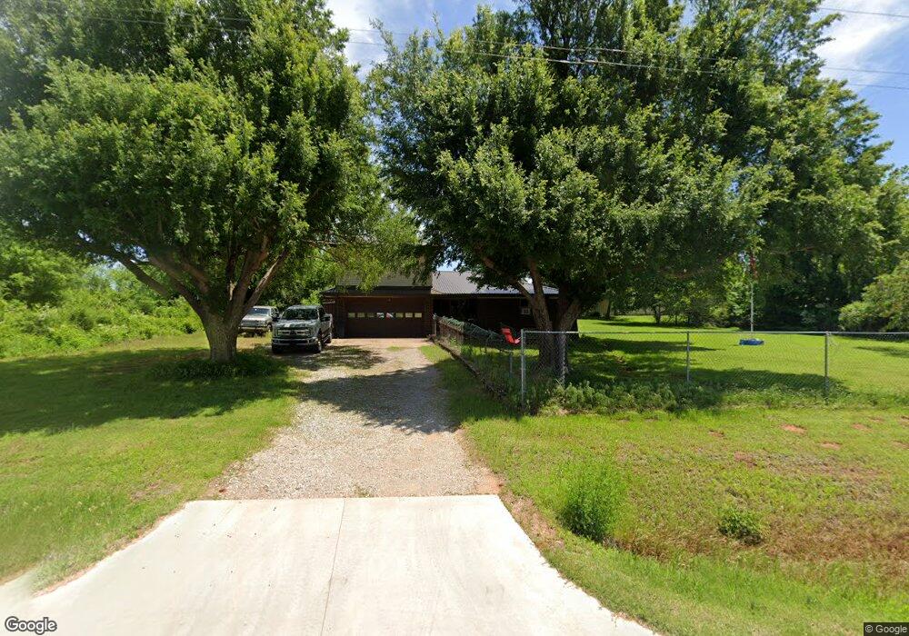
6620 S Richland Rd Mustang, OK 73064
West Mustang NeighborhoodEstimated Value: $288,896 - $380,000
3
Beds
2
Baths
1,676
Sq Ft
$196/Sq Ft
Est. Value
About This Home
This home is located at 6620 S Richland Rd, Mustang, OK 73064 and is currently estimated at $327,965, approximately $195 per square foot. 6620 S Richland Rd is a home located in Canadian County with nearby schools including Mustang Lakehoma Elementary School, Mustang Horizon Intermediate School, and Mustang Middle School.
Ownership History
Date
Name
Owned For
Owner Type
Purchase Details
Closed on
Oct 10, 1995
Sold by
Gunn Freddie C and Gunn Berneice
Bought by
Owen Robin
Current Estimated Value
Purchase Details
Closed on
Apr 27, 1992
Create a Home Valuation Report for This Property
The Home Valuation Report is an in-depth analysis detailing your home's value as well as a comparison with similar homes in the area
Home Values in the Area
Average Home Value in this Area
Purchase History
| Date | Buyer | Sale Price | Title Company |
|---|---|---|---|
| Owen Robin | $50,000 | -- | |
| -- | $38,500 | -- |
Source: Public Records
Tax History Compared to Growth
Tax History
| Year | Tax Paid | Tax Assessment Tax Assessment Total Assessment is a certain percentage of the fair market value that is determined by local assessors to be the total taxable value of land and additions on the property. | Land | Improvement |
|---|---|---|---|---|
| 2024 | $1,863 | $17,979 | $4,169 | $13,810 |
| 2023 | $1,863 | $17,456 | $3,862 | $13,594 |
| 2022 | $1,833 | $16,948 | $3,506 | $13,442 |
| 2021 | $1,770 | $16,454 | $3,099 | $13,355 |
| 2020 | $1,732 | $15,975 | $2,759 | $13,216 |
| 2019 | $1,677 | $15,510 | $2,492 | $13,018 |
| 2018 | $1,655 | $15,058 | $2,220 | $12,838 |
| 2017 | $1,375 | $14,619 | $2,220 | $12,399 |
| 2016 | $1,333 | $14,619 | $2,220 | $12,399 |
| 2015 | $1,007 | $11,264 | $2,220 | $9,044 |
| 2014 | $1,007 | $10,936 | $2,220 | $8,716 |
Source: Public Records
Map
Nearby Homes
- 0 Tract 9 Highway 152 & Richland Rd Unit 945766
- 0 Tract 8 Highway 152 & Richland Rd Unit 945764
- 6401 Lois Ln
- 7400 Lakewood Dr
- 7201 Country Ln
- 7000 S Cimarron Rd
- 7025 S Cimarron Rd
- 100 S Nelson Dr
- 14209 SW 50th Ct
- 2241 W Mickey Dr
- 0 Regan Rd
- 2224 W Sunset Dr
- 545 N Fox Way
- 2101 W Beaver Point Dr
- 2020 W Flintlock Way
- 2114 W Cole Dr
- 1956 W Flintlock Way
- 2012 W Flintlock Way
- 12915 SW 44th St
- 1957 W Crossbow Way
- 6700 S Richland Rd
- 6819 S Richland Rd
- 6820 S Richland Rd
- 6820 S Richland Rd
- 6701 S Richland Rd
- 14540 SW 69th St
- 14600 SW 65th St
- 14700 SW 65th St
- 14700 SW 65th St
- 6401 S Richland Rd
- 6401 S Richland Rd
- 14724 SW 65th St
- 7020 Flora Lee
- 6713 Timberlake Dr
- 0 Unplatted Lot 3 Unit 948429
- 6809 Timberlake Dr
- 6917 Timberlake Dr
- 6305 S Richland Rd
- 14309 SW 67th St
- 6804 Timberlake Dr