6620 Whitesville Rd West Point, GA 31833
Estimated Value: $279,000 - $2,122,713
3
Beds
2
Baths
2,372
Sq Ft
$506/Sq Ft
Est. Value
About This Home
This home is located at 6620 Whitesville Rd, West Point, GA 31833 and is currently estimated at $1,200,857, approximately $506 per square foot. 6620 Whitesville Rd is a home with nearby schools including West Point Elementary School, Whitesville Road Elementary School, and Berta Weathersbee Elementary School.
Ownership History
Date
Name
Owned For
Owner Type
Purchase Details
Closed on
Dec 3, 2012
Sold by
Irvington Farms Properties
Bought by
Ashlind Farms Llc
Current Estimated Value
Purchase Details
Closed on
May 17, 2007
Sold by
Irvington Farms Ltd Ptshp
Bought by
Valley Area Properties Llc
Purchase Details
Closed on
Jun 5, 1991
Sold by
Irvington Farms Inc
Bought by
Irvington Farms L P
Purchase Details
Closed on
Jun 28, 1978
Sold by
C & S Bank Of West Ga
Bought by
Irvington Farms Inc
Purchase Details
Closed on
Jun 27, 1978
Sold by
Walter E Lewis Etal
Bought by
C & S Bank Of West Ga
Purchase Details
Closed on
Feb 27, 1976
Sold by
Walter E Lewis Ext Etal
Bought by
Walter E Lewis Etal
Purchase Details
Closed on
May 20, 1974
Sold by
Wright?
Bought by
Walter E Lewis Ext Etal
Purchase Details
Closed on
Jan 1, 1960
Sold by
Wright Constuction Co
Bought by
Wright?
Create a Home Valuation Report for This Property
The Home Valuation Report is an in-depth analysis detailing your home's value as well as a comparison with similar homes in the area
Home Values in the Area
Average Home Value in this Area
Purchase History
| Date | Buyer | Sale Price | Title Company |
|---|---|---|---|
| Ashlind Farms Llc | $1,623,891 | -- | |
| Valley Area Properties Llc | $4,509,383 | -- | |
| Irvington Farms L P | $955,800 | -- | |
| Irvington Farms Inc | -- | -- | |
| C & S Bank Of West Ga | $51,500 | -- | |
| Walter E Lewis Etal | -- | -- | |
| Walter E Lewis Ext Etal | -- | -- | |
| Wright? | -- | -- |
Source: Public Records
Tax History Compared to Growth
Tax History
| Year | Tax Paid | Tax Assessment Tax Assessment Total Assessment is a certain percentage of the fair market value that is determined by local assessors to be the total taxable value of land and additions on the property. | Land | Improvement |
|---|---|---|---|---|
| 2024 | $8,534 | $910,776 | $784,440 | $126,336 |
| 2023 | $8,267 | $906,176 | $784,440 | $121,736 |
| 2022 | $7,636 | $881,736 | $784,440 | $97,296 |
| 2021 | $7,901 | $655,980 | $564,240 | $91,740 |
| 2020 | $7,758 | $655,980 | $564,240 | $91,740 |
| 2019 | $7,790 | $661,700 | $564,240 | $97,460 |
| 2018 | $7,879 | $669,164 | $564,240 | $104,924 |
| 2017 | $7,748 | $669,164 | $564,240 | $104,924 |
| 2016 | $7,600 | $668,523 | $564,263 | $104,260 |
| 2015 | $7,300 | $662,297 | $564,263 | $98,034 |
| 2014 | $7,346 | $667,457 | $564,263 | $103,194 |
| 2013 | -- | $671,900 | $564,263 | $107,636 |
Source: Public Records
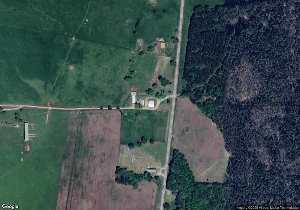
Map
Nearby Homes
- 5191 Georgia 18
- 143 W Drummond Rd
- 151 W Drummond Rd
- 157 W Drummond Rd
- 137 W Drummond Rd
- 131 W Drummond Rd
- 1612 Dennis Smith Rd
- 0 Shake Rag Rd Unit 23310609
- 0 Shake Rag Rd Unit TRACT 1 10492530
- 0 Shake Rag Rd Unit TRACT 2 10492533
- 0 Shake Rag Rd Unit TRACT 3 10492532
- 0 Shake Rag Rd Unit 23670261
- 1550 Baughs Cross Rd
- 8705 Ga Highway 18
- 8705 Georgia 18
- 208 Harris Walk Unit 80
- 311 Tomme Rd
- 20+/- AC White Rd
- 333 Shoemaker Rd
- 1820 Salem Rd
- 6710 Whitesville Rd
- 6761 Whitesville Rd
- 6453 Whitesville Rd
- 5451 Ga Highway 18
- 5576 Ga Highway 18 Hwy
- 19930 Ga Highway 219
- 5520 Ga Highway 18
- 82 Drummond Rd
- 6290 Whitesville Rd
- 5730 Ga Highway 18
- 148 Drummond Rd
- 19935 Ga Highway 219
- 6266 Whitesville Rd
- 5841 Ga Highway 18
- 19888 Ga Highway 219
- 5191 Ga Highway 18
- 19929 Ga Highway 219
- 6240 Whitesville Rd
- 6221 Whitesville Rd
- 6221 Whitesville Rd