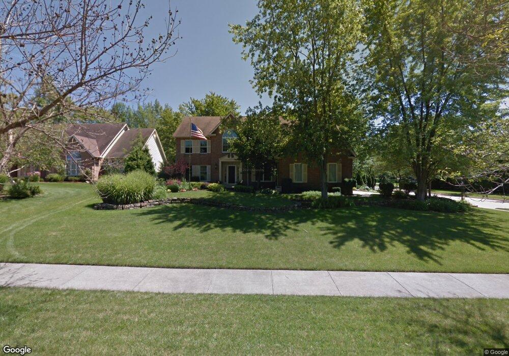
6621 Devonshire Dr North Royalton, OH 44133
Estimated Value: $523,646 - $576,000
4
Beds
3
Baths
3,236
Sq Ft
$173/Sq Ft
Est. Value
About This Home
This home is located at 6621 Devonshire Dr, North Royalton, OH 44133 and is currently estimated at $558,662, approximately $172 per square foot. 6621 Devonshire Dr is a home located in Cuyahoga County with nearby schools including North Royalton Middle School, North Royalton High School, and Saint Albert the Great Roman Catholic School.
Ownership History
Date
Name
Owned For
Owner Type
Purchase Details
Closed on
Feb 17, 2004
Sold by
Ritchie Arthur H and Ritchie Lisa L
Bought by
Stannert Ryan C and Stannert Kristi L
Current Estimated Value
Home Financials for this Owner
Home Financials are based on the most recent Mortgage that was taken out on this home.
Original Mortgage
$252,800
Outstanding Balance
$117,821
Interest Rate
5.74%
Mortgage Type
Purchase Money Mortgage
Estimated Equity
$440,841
Purchase Details
Closed on
Mar 18, 1993
Bought by
Ritchie Arthur H
Purchase Details
Closed on
Jan 1, 1990
Bought by
Sherwood Constr Co
Create a Home Valuation Report for This Property
The Home Valuation Report is an in-depth analysis detailing your home's value as well as a comparison with similar homes in the area
Home Values in the Area
Average Home Value in this Area
Purchase History
| Date | Buyer | Sale Price | Title Company |
|---|---|---|---|
| Stannert Ryan C | $316,000 | Real Living Title Agency Ltd | |
| Ritchie Arthur H | $258,900 | -- | |
| Sherwood Constr Co | -- | -- |
Source: Public Records
Mortgage History
| Date | Status | Borrower | Loan Amount |
|---|---|---|---|
| Open | Stannert Ryan C | $252,800 |
Source: Public Records
Tax History Compared to Growth
Tax History
| Year | Tax Paid | Tax Assessment Tax Assessment Total Assessment is a certain percentage of the fair market value that is determined by local assessors to be the total taxable value of land and additions on the property. | Land | Improvement |
|---|---|---|---|---|
| 2024 | $9,740 | $167,685 | $30,765 | $136,920 |
| 2023 | $8,219 | $129,780 | $28,420 | $101,360 |
| 2022 | $8,164 | $129,780 | $28,420 | $101,360 |
| 2021 | $8,250 | $129,780 | $28,420 | $101,360 |
| 2020 | $8,266 | $123,590 | $27,060 | $96,530 |
| 2019 | $8,025 | $353,100 | $77,300 | $275,800 |
| 2018 | $5,948 | $123,590 | $27,060 | $96,530 |
| 2017 | $7,775 | $113,160 | $21,880 | $91,280 |
| 2016 | $7,286 | $113,160 | $21,880 | $91,280 |
| 2015 | $6,675 | $113,160 | $21,880 | $91,280 |
| 2014 | $6,675 | $102,870 | $19,880 | $82,990 |
Source: Public Records
Map
Nearby Homes
- 5980 Wallings Rd
- 10628 Devonshire Dr
- 6560 Queens Way
- 10229 State Rd
- 10620 Ridge Rd
- 4863 Maple Ln
- 11490 Lisa Ln
- 6451 Glenwillow Dr
- 3844 Wallings Rd
- 10060 Brookside Cir
- 3204 Thorn Tree Dr
- 7332 Creekwood Dr Unit 4B
- 3164 Fir Tree Dr
- 12701 Gordon St
- 7595 Margaret Dr
- 7575 Margaret Dr
- 7564 Margaret Dr
- 7574 Margaret Dr
- 7600 Margaret Dr
- 7535 Margaret Dr
- 6611 Devonshire Dr
- 6633 Tudor Cir
- 5910 Wallings Rd
- 5900 Wallings Rd
- 6601 Devonshire Dr
- 5920 Wallings Rd
- 6628 Devonshire Dr
- 6618 Devonshire Dr
- 6638 Tudor Cir
- 5890 Wallings Rd
- 6643 Tudor Cir
- 6608 Devonshire Dr
- 6591 Tudor Dr
- 5930 Wallings Rd
- 6648 Tudor Cir
- 6653 Tudor Cir
- 10676 Stone Hinge Cir
- 5787 Wallings Rd
- 10685 Knights Way
- 5940 Wallings Rd