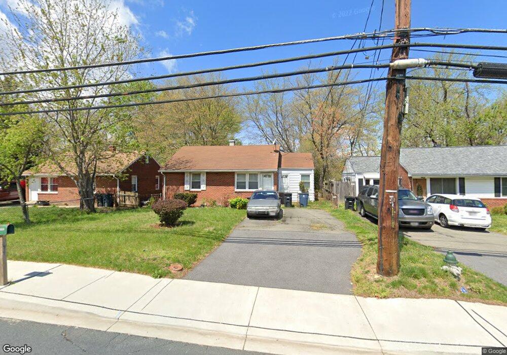
6621 Saint Barnabas Rd Oxon Hill, MD 20745
Estimated Value: $331,000 - $365,000
--
Bed
1
Bath
973
Sq Ft
$361/Sq Ft
Est. Value
About This Home
This home is located at 6621 Saint Barnabas Rd, Oxon Hill, MD 20745 and is currently estimated at $351,299, approximately $361 per square foot. 6621 Saint Barnabas Rd is a home located in Prince George's County with nearby schools including Apple Grove Elementary School, Oxon Hill Middle School, and Oxon Hill High School.
Ownership History
Date
Name
Owned For
Owner Type
Purchase Details
Closed on
Nov 10, 1994
Sold by
Parks Marion E
Bought by
Woods Carolyn L
Current Estimated Value
Home Financials for this Owner
Home Financials are based on the most recent Mortgage that was taken out on this home.
Original Mortgage
$87,900
Interest Rate
8.78%
Purchase Details
Closed on
Nov 2, 1984
Sold by
Campbell Robert L
Bought by
Parks Marion E and Parks Melva L
Create a Home Valuation Report for This Property
The Home Valuation Report is an in-depth analysis detailing your home's value as well as a comparison with similar homes in the area
Home Values in the Area
Average Home Value in this Area
Purchase History
| Date | Buyer | Sale Price | Title Company |
|---|---|---|---|
| Woods Carolyn L | $87,000 | -- | |
| Parks Marion E | $62,000 | -- |
Source: Public Records
Mortgage History
| Date | Status | Borrower | Loan Amount |
|---|---|---|---|
| Closed | Woods Carolyn L | $87,900 |
Source: Public Records
Tax History Compared to Growth
Tax History
| Year | Tax Paid | Tax Assessment Tax Assessment Total Assessment is a certain percentage of the fair market value that is determined by local assessors to be the total taxable value of land and additions on the property. | Land | Improvement |
|---|---|---|---|---|
| 2025 | $4,093 | $276,533 | -- | -- |
| 2024 | $4,093 | $248,600 | $86,100 | $162,500 |
| 2023 | $3,769 | $226,833 | $0 | $0 |
| 2022 | $2,280 | $205,067 | $0 | $0 |
| 2021 | $3,072 | $183,300 | $75,500 | $107,800 |
| 2020 | $3,023 | $176,667 | $0 | $0 |
| 2019 | $2,435 | $170,033 | $0 | $0 |
| 2018 | $2,826 | $163,400 | $75,500 | $87,900 |
| 2017 | $2,517 | $153,633 | $0 | $0 |
| 2016 | -- | $143,867 | $0 | $0 |
| 2015 | $2,284 | $134,100 | $0 | $0 |
| 2014 | $2,284 | $134,100 | $0 | $0 |
Source: Public Records
Map
Nearby Homes
- 6524 Buckland Ct
- 6900 Stirling St
- 6348 Stonewain Ct
- 6225 Dimrill Ct
- 6903 Bock Rd
- 7009 Shagbark Ct
- 2016 Belfast Dr
- 1110 Vinson St
- 7100 Southlawn Dr
- 2004 Wolf St
- 2107 High Timber Rd
- 6120 Brandyhall Ct
- 6510 Trowbridge Place
- 1007 Comanche Dr
- 2105 Calhoun St
- 5926 Shoshone Dr
- 5605 Fargo Ave
- 1805 Jarvis Ave
- 1206 Crisfield Dr
- 5812 Shoshone Dr
- 6623 Saint Barnabas Rd
- 6619 Saint Barnabas Rd
- 6625 Saint Barnabas Rd
- 6617 Saint Barnabas Rd
- 6627 Saint Barnabas Rd
- 6615 Saint Barnabas Rd
- 6577 Bock Terrace
- 6581 Bock Terrace
- 6573 Bock Terrace
- 6629 Saint Barnabas Rd
- 6613 Saint Barnabas Rd
- 6585 Bock Terrace
- 6569 Bock Terrace
- 6620 Saint Barnabas Rd
- 6565 Bock Terrace
- 6589 Bock Terrace
- 6611 Saint Barnabas Rd
- 6591 Bock Terrace
- 6561 Bock Terrace
- 6626 Saint Barnabas Rd