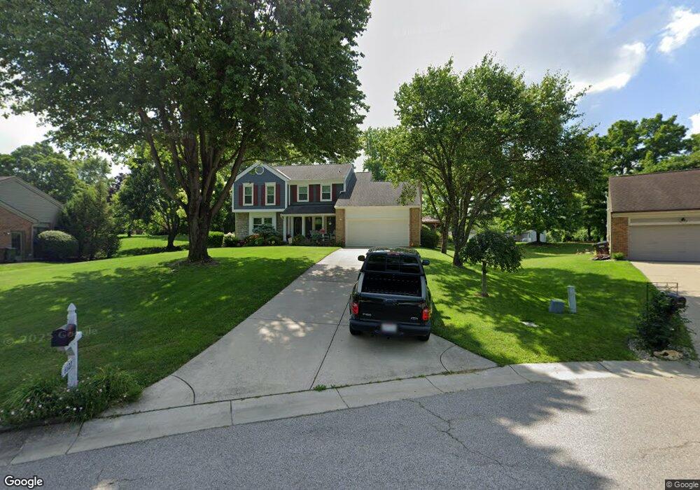
6622 Chessie Dr West Chester, OH 45069
West Chester Township NeighborhoodEstimated Value: $415,000 - $458,000
4
Beds
3
Baths
2,152
Sq Ft
$205/Sq Ft
Est. Value
About This Home
This home is located at 6622 Chessie Dr, West Chester, OH 45069 and is currently estimated at $440,539, approximately $204 per square foot. 6622 Chessie Dr is a home located in Butler County with nearby schools including Adena Elementary School, Lakota Ridge Junior School, and Lakota West High School.
Ownership History
Date
Name
Owned For
Owner Type
Purchase Details
Closed on
May 9, 2003
Sold by
Hammond Joan E and Hammond David R
Bought by
Allgood Ralph R and Allgood Maria A
Current Estimated Value
Home Financials for this Owner
Home Financials are based on the most recent Mortgage that was taken out on this home.
Original Mortgage
$152,000
Interest Rate
5.87%
Mortgage Type
Purchase Money Mortgage
Create a Home Valuation Report for This Property
The Home Valuation Report is an in-depth analysis detailing your home's value as well as a comparison with similar homes in the area
Home Values in the Area
Average Home Value in this Area
Purchase History
| Date | Buyer | Sale Price | Title Company |
|---|---|---|---|
| Allgood Ralph R | $190,000 | Title Resolutions |
Source: Public Records
Mortgage History
| Date | Status | Borrower | Loan Amount |
|---|---|---|---|
| Closed | Allgood Ralph R | $152,000 |
Source: Public Records
Tax History Compared to Growth
Tax History
| Year | Tax Paid | Tax Assessment Tax Assessment Total Assessment is a certain percentage of the fair market value that is determined by local assessors to be the total taxable value of land and additions on the property. | Land | Improvement |
|---|---|---|---|---|
| 2024 | $4,711 | $114,090 | $19,450 | $94,640 |
| 2023 | $4,677 | $112,540 | $19,450 | $93,090 |
| 2022 | $4,775 | $85,960 | $19,450 | $66,510 |
| 2021 | $4,369 | $82,800 | $19,450 | $63,350 |
| 2020 | $4,472 | $82,800 | $19,450 | $63,350 |
| 2019 | $7,058 | $73,650 | $21,420 | $52,230 |
| 2018 | $4,173 | $73,650 | $21,420 | $52,230 |
| 2017 | $4,247 | $73,650 | $21,420 | $52,230 |
| 2016 | $4,165 | $68,010 | $21,420 | $46,590 |
| 2015 | $4,158 | $68,010 | $21,420 | $46,590 |
| 2014 | $4,117 | $68,010 | $21,420 | $46,590 |
| 2013 | $4,117 | $65,440 | $21,420 | $44,020 |
Source: Public Records
Map
Nearby Homes
- 6605 San Mateo Dr
- 6779 Windwood Dr
- 6612 Pullman Ct
- 6592 Pullman Ct
- 10155 Golay Ave
- 6791 Cork Dr
- Palisades Plan at West Ridge
- Brentwood Plan at West Ridge
- Wilshire Plan at West Ridge
- Moorgate Plan at West Ridge - Noble
- Everton Plan at West Ridge - Noble
- Kingsmark Plan at West Ridge - Prestige
- 6812 Cork Dr
- 6816 Cork Dr
- 7089 Windwood Dr
- 6724 Maverick Dr
- 9647 Friar Tuck Dr
- 7327 Dimmick Rd
- 9377 Dundee Dr
- 9843 Tall Timber Dr
- 6610 Chessie Dr
- 6630 Chessie Dr
- 6597 N Windwood Dr
- 6596 Chessie Dr
- 6589 N Windwood Dr
- 6605 N Windwood Dr
- 6770 San Mateo Dr
- 6640 Chessie Dr
- 6619 Chessie Dr
- 6609 Chessie Dr
- 6629 Chessie Dr
- 6637 Chessie Dr
- 9789 Caseys Crossing
- 6762 San Mateo Dr
- 6577 N Windwood Dr
- 9777 Caseys Crossing
- 6585 Chessie Dr
- 6623 N Windwood Dr
- 6752 San Mateo Dr
- 6612 N Windwood Dr