6622 Red Rock Rd Marsing, ID 83639
Estimated Value: $765,000 - $937,000
3
Beds
2
Baths
1,920
Sq Ft
$435/Sq Ft
Est. Value
About This Home
This home is located at 6622 Red Rock Rd, Marsing, ID 83639 and is currently estimated at $835,446, approximately $435 per square foot. 6622 Red Rock Rd is a home located in Owyhee County with nearby schools including Marsing Elementary School, Marsing Middle School, and Marsing High School.
Ownership History
Date
Name
Owned For
Owner Type
Purchase Details
Closed on
Apr 4, 2005
Sold by
May Jill N
Bought by
May Cleon L
Current Estimated Value
Create a Home Valuation Report for This Property
The Home Valuation Report is an in-depth analysis detailing your home's value as well as a comparison with similar homes in the area
Home Values in the Area
Average Home Value in this Area
Purchase History
| Date | Buyer | Sale Price | Title Company |
|---|---|---|---|
| May Cleon L | -- | -- |
Source: Public Records
Tax History Compared to Growth
Tax History
| Year | Tax Paid | Tax Assessment Tax Assessment Total Assessment is a certain percentage of the fair market value that is determined by local assessors to be the total taxable value of land and additions on the property. | Land | Improvement |
|---|---|---|---|---|
| 2024 | $3,556 | $549,571 | $65,944 | $483,627 |
| 2023 | $2,106 | $533,239 | $65,944 | $467,295 |
| 2022 | $2,650 | $543,839 | $65,944 | $477,895 |
| 2021 | $1,997 | $366,376 | $46,881 | $319,495 |
| 2020 | $1,949 | $328,810 | $25,859 | $302,951 |
| 2019 | $1,723 | $290,958 | $25,945 | $265,013 |
| 2018 | $2,273 | $306,367 | $22,321 | $284,046 |
| 2017 | $2,016 | $289,261 | $22,284 | $266,977 |
| 2016 | $1,278 | $220,641 | $21,519 | $199,122 |
| 2014 | $774 | $170,664 | $19,854 | $150,810 |
| 2011 | -- | $158,441 | $14,619 | $143,822 |
Source: Public Records
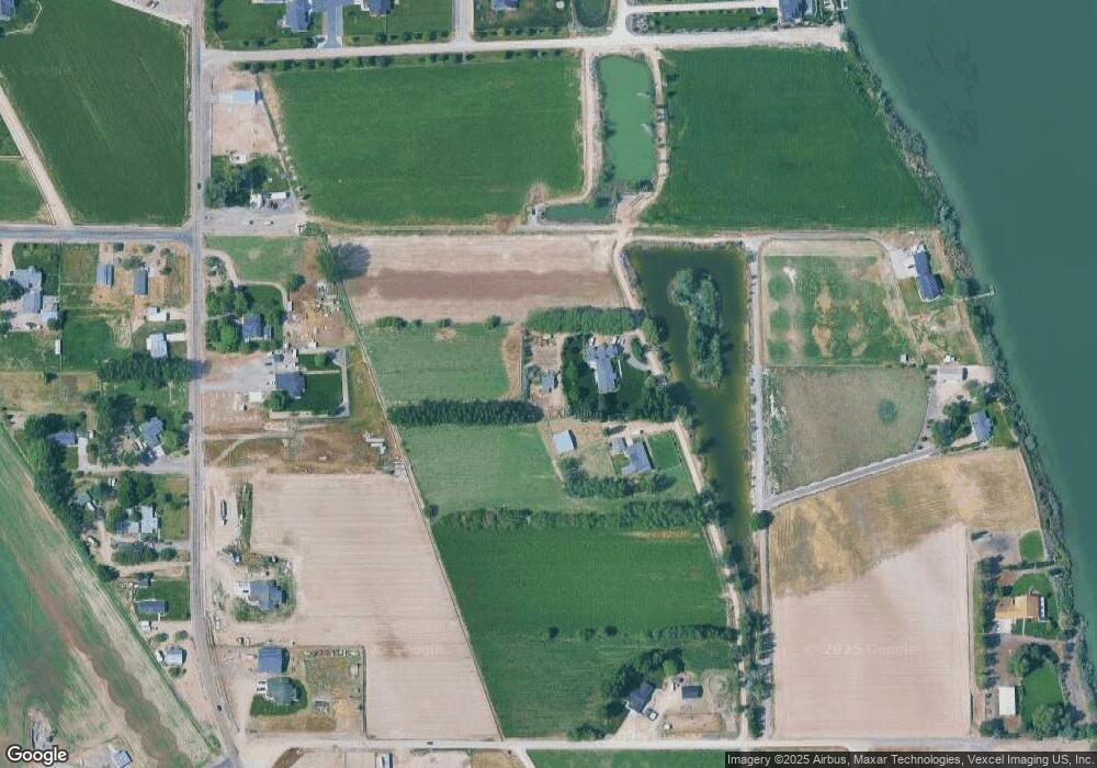
Map
Nearby Homes
- TBD N Bruneau Rd
- 540 Morning Dove Way
- 405 Live Oak Ave
- Poison Creek Rd
- 928 W Main St
- 224 Motzko St
- 20056 Sunny Slope Rd
- TBD Canal St
- 20477 Lowell Rd
- 7253 Riverview Dr
- 311 Riverview Dr
- 309 River View Dr
- 13366 Chicken Dinner Rd
- 20264 John Ln
- 6708 Sunset Ln
- 18227 Southlake Cir
- 20169 Hoskins Rd
- 22455 Hoskins Rd
- TBD Manzanita Ln - Parcel 3
- NNA Whetstone Ln
- 6548 Red Rock Rd
- 6606 Red Rock Rd
- 6618 Red Rock Rd
- 6567 Red Rock Rd
- 5.1 Ac Red Rock Rd
- 6.1 Ac Red Rock Rd
- 6610 Red Rock Rd
- 6617 Red Rock Rd
- 6653 Red Rock Rd
- 6691 Red Rock Rd
- 5658 Old Bruneau Hwy
- 5628 Old Bruneau Hwy
- 5676 Old Bruneau Hwy
- TBD Waterview Estates Subdivison
- 5669 Old Bruneau Hwy
- 6595 Red Rock Rd
- TBD 6 1 Ac Red Rock Rd
- 6016 Ashley Ln
- 5722 Old Bruneau Hwy
- 6611 Red Rock Rd