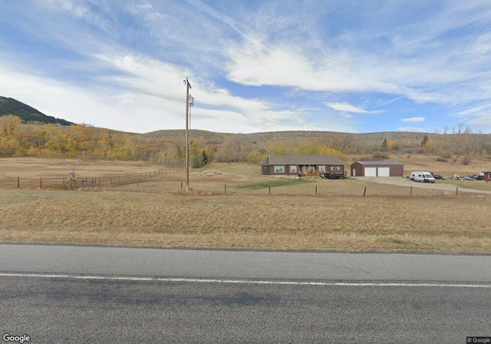
6623 Us Highway 212 Red Lodge, MT 59068
Estimated Value: $880,000 - $1,196,958
3
Beds
3
Baths
3,100
Sq Ft
$348/Sq Ft
Est. Value
About This Home
This home is located at 6623 Us Highway 212, Red Lodge, MT 59068 and is currently estimated at $1,080,240, approximately $348 per square foot. 6623 Us Highway 212 is a home located in Carbon County with nearby schools including Mountain View School, Roosevelt Junior High School, and Red Lodge High School.
Ownership History
Date
Name
Owned For
Owner Type
Purchase Details
Closed on
Oct 22, 2018
Bought by
Smith Donald Edward and Shaver Sarah
Current Estimated Value
Home Financials for this Owner
Home Financials are based on the most recent Mortgage that was taken out on this home.
Original Mortgage
$900,000
Outstanding Balance
$796,339
Interest Rate
5.21%
Mortgage Type
FHA
Estimated Equity
$283,901
Create a Home Valuation Report for This Property
The Home Valuation Report is an in-depth analysis detailing your home's value as well as a comparison with similar homes in the area
Purchase History
| Date | Buyer | Sale Price | Title Company |
|---|---|---|---|
| Smith Donald Edward | -- | -- |
Source: Public Records
Mortgage History
| Date | Status | Borrower | Loan Amount |
|---|---|---|---|
| Open | Smith Donald Edward | $900,000 | |
| Closed | Smith Donald Edward | $900,000 |
Source: Public Records
Tax History
| Year | Tax Paid | Tax Assessment Tax Assessment Total Assessment is a certain percentage of the fair market value that is determined by local assessors to be the total taxable value of land and additions on the property. | Land | Improvement |
|---|---|---|---|---|
| 2025 | $4,426 | $965,900 | $0 | $0 |
| 2024 | $3,621 | $620,400 | $0 | $0 |
| 2023 | $3,562 | $620,400 | $0 | $0 |
| 2022 | $3,467 | $504,300 | $0 | $0 |
| 2021 | $2,291 | $504,300 | $0 | $0 |
| 2020 | $1,959 | $443,000 | $0 | $0 |
| 2019 | $1,993 | $443,000 | $0 | $0 |
| 2018 | $3,092 | $502,600 | $0 | $0 |
| 2017 | $2,452 | $502,600 | $0 | $0 |
| 2016 | $1,341 | $333,961 | $0 | $0 |
| 2015 | $1,235 | $333,961 | $0 | $0 |
| 2014 | $2,454 | $229,287 | $0 | $0 |
Source: Public Records
Map
Nearby Homes
- 5 Comanche Trail
- 5 Pueblo Trail
- 15 Ski Ln
- 5 Ski Ln
- 25 Biorn Ln
- TBD Palisades Loop
- 198 Meeteetse Trail Rd
- 5.3 Acres Palisades Campground
- TBD Meeteetse Trail Rd
- NHN Wilderness Ln
- 6802 Us Highway 212
- TBD Howell Gulch Rd
- 28 Willow Creek Trail
- 1505 Broadway Ave S Unit 207
- 1505 Broadway Ave S Unit 206
- 26 Beaver Trail
- 1106 S White Ave
- 1125 Adams Ave S Unit 5
- 1125 Adams Ave S Unit 17
- 1125 Adams Ave S Unit 15
- 6623 U S 212
- 6653 U S 212
- 6625 U S 212
- 6653 Us Highway 212 S
- 6651 Us Highway 212
- 6633 Us Highway 212
- 6640 Us Highway 212
- 6665 Us Highway 212
- 6650 U S 212
- 6652 Us Highway 212
- 6652 U S 212
- 17 Twin Bear Ln
- 9 Twin Bear Ln
- 7 Waples Dr
- 7 Twin Bear Ln
- 2 Twin Bear Ln
- 6624 Us Highway 212
- 10 Twin Bear Ln
- 12 Twin Bear Ln
- 6 Twin Bear Ln
Your Personal Tour Guide
Ask me questions while you tour the home.