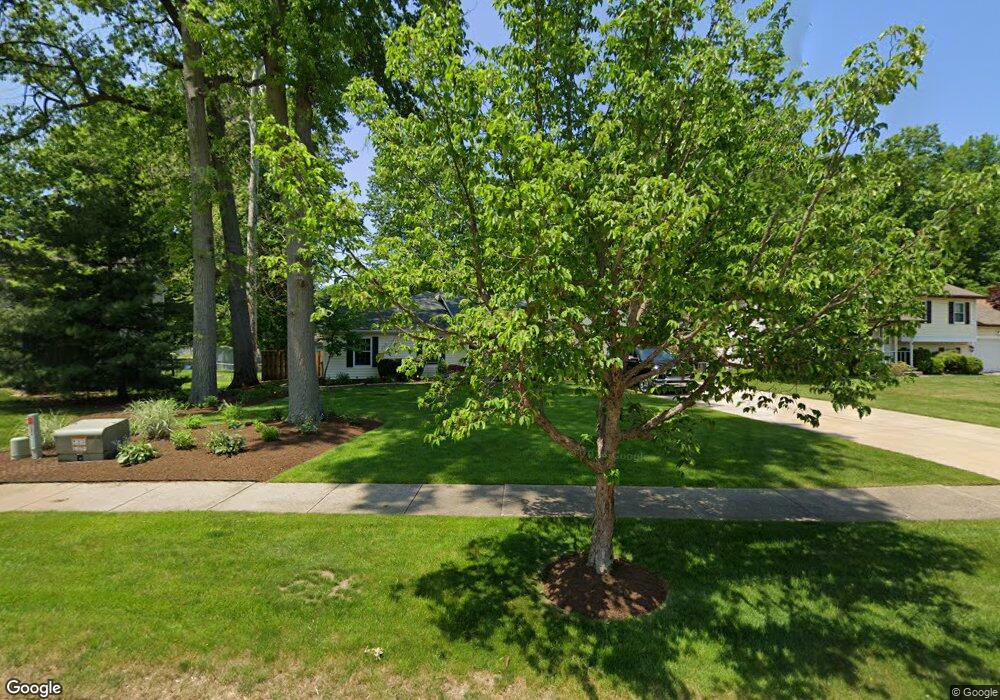
6624 Memory Ln Mentor, OH 44060
Estimated Value: $334,000 - $348,000
4
Beds
2
Baths
2,040
Sq Ft
$167/Sq Ft
Est. Value
About This Home
This home is located at 6624 Memory Ln, Mentor, OH 44060 and is currently estimated at $341,146, approximately $167 per square foot. 6624 Memory Ln is a home located in Lake County with nearby schools including Fairfax Elementary School, Memorial Middle School, and Mentor High School.
Ownership History
Date
Name
Owned For
Owner Type
Purchase Details
Closed on
Oct 28, 1999
Sold by
Ross Todd M and Ross Lawni L
Bought by
Legath Vincent and Legath Beth M
Current Estimated Value
Home Financials for this Owner
Home Financials are based on the most recent Mortgage that was taken out on this home.
Original Mortgage
$68,000
Outstanding Balance
$24,216
Interest Rate
11%
Estimated Equity
$316,930
Purchase Details
Closed on
May 23, 1994
Bought by
Ross Todd M
Create a Home Valuation Report for This Property
The Home Valuation Report is an in-depth analysis detailing your home's value as well as a comparison with similar homes in the area
Home Values in the Area
Average Home Value in this Area
Purchase History
| Date | Buyer | Sale Price | Title Company |
|---|---|---|---|
| Legath Vincent | $138,000 | Prospect Title Agency Inc | |
| Ross Todd M | -- | -- |
Source: Public Records
Mortgage History
| Date | Status | Borrower | Loan Amount |
|---|---|---|---|
| Open | Legath Vincent | $68,000 |
Source: Public Records
Tax History
| Year | Tax Paid | Tax Assessment Tax Assessment Total Assessment is a certain percentage of the fair market value that is determined by local assessors to be the total taxable value of land and additions on the property. | Land | Improvement |
|---|---|---|---|---|
| 2025 | -- | $119,470 | $27,340 | $92,130 |
| 2024 | -- | $119,470 | $27,340 | $92,130 |
| 2023 | $9,193 | $88,470 | $19,480 | $68,990 |
| 2022 | $4,180 | $88,470 | $19,480 | $68,990 |
| 2021 | $4,176 | $88,470 | $19,480 | $68,990 |
| 2020 | $4,043 | $74,980 | $16,510 | $58,470 |
| 2019 | $4,048 | $74,980 | $16,510 | $58,470 |
| 2018 | $4,022 | $63,820 | $20,080 | $43,740 |
| 2017 | $3,606 | $63,820 | $20,080 | $43,740 |
| 2016 | $3,581 | $63,820 | $20,080 | $43,740 |
| 2015 | $3,197 | $63,820 | $20,080 | $43,740 |
| 2014 | $3,042 | $59,850 | $20,080 | $39,770 |
| 2013 | $3,045 | $59,850 | $20,080 | $39,770 |
Source: Public Records
Map
Nearby Homes
- 6595 Devonshire Ct
- 6676 Oakdale Rd
- 8140 Independence Dr Unit B
- 6484 Elmwood Rd
- 8104 Puritan Dr Unit 52-C
- 8078 Puritan Dr Unit 58-D
- 6853 Colonial Dr Unit A
- 7972 Colonial Dr Unit 89C
- 7723 Rutland Dr
- 6270 Cumberland Dr
- 7772 Barnaby Ln
- 6452 Brooks Blvd
- 8285 Munson Rd
- 6239 Dunbar Dr
- 8290 Quail Point Ln
- 6218 Center St Unit 6218
- 6443 Chase Dr
- 8420 Bartley Ln Unit C
- 8352 Quail Point Ln Unit 8352
- 8031 Munson Rd
- 6614 Memory Ln
- 6634 Memory Ln
- 6604 Memory Ln
- 6619 Melshore Dr
- 8097 Edgewood Rd
- 6611 Melshore Dr
- 8091 Edgewood Rd
- 6603 Melshore Dr
- 8115 Edgewood Rd
- 6590 Memory Ln
- 6631 Memory Ln
- 6621 Memory Ln
- 8083 Edgewood Rd
- 6607 Memory Ln
- 6595 Melshore Dr
- 8129 Edgewood Rd
- 6576 Memory Ln
- 6593 Memory Ln
- 6585 Melshore Dr
- 6581 Memory Ln
Your Personal Tour Guide
Ask me questions while you tour the home.