6624 Towpath Ave NW Canal Fulton, OH 44614
Estimated Value: $330,393
--
Bed
5
Baths
29,113
Sq Ft
$11/Sq Ft
Est. Value
About This Home
This home is located at 6624 Towpath Ave NW, Canal Fulton, OH 44614 and is currently priced at $330,393, approximately $11 per square foot. 6624 Towpath Ave NW is a home located in Stark County with nearby schools including W.S. Stinson Elementary School, Northwest Primary School, and Northwest Middle School.
Ownership History
Date
Name
Owned For
Owner Type
Purchase Details
Closed on
Apr 21, 1999
Sold by
Hill & Hill Properties
Bought by
Hill & Hill Properties Llc
Current Estimated Value
Purchase Details
Closed on
Dec 22, 1997
Sold by
Ries Richard J
Bought by
Hill & Hill Properties
Purchase Details
Closed on
Aug 26, 1988
Create a Home Valuation Report for This Property
The Home Valuation Report is an in-depth analysis detailing your home's value as well as a comparison with similar homes in the area
Home Values in the Area
Average Home Value in this Area
Purchase History
| Date | Buyer | Sale Price | Title Company |
|---|---|---|---|
| Hill & Hill Properties Llc | -- | -- | |
| Hill & Hill Properties | $140,000 | -- | |
| -- | $17,300 | -- |
Source: Public Records
Tax History Compared to Growth
Tax History
| Year | Tax Paid | Tax Assessment Tax Assessment Total Assessment is a certain percentage of the fair market value that is determined by local assessors to be the total taxable value of land and additions on the property. | Land | Improvement |
|---|---|---|---|---|
| 2025 | -- | $263,560 | $136,120 | $127,440 |
| 2024 | -- | $263,560 | $136,120 | $127,440 |
| 2023 | $9,132 | $169,370 | $53,480 | $115,890 |
| 2022 | $4,579 | $169,370 | $53,480 | $115,890 |
| 2021 | $9,469 | $169,370 | $53,480 | $115,890 |
| 2020 | $9,182 | $153,970 | $48,620 | $105,350 |
| 2019 | $9,372 | $154,000 | $48,620 | $105,380 |
| 2018 | $9,221 | $154,000 | $48,620 | $105,380 |
| 2017 | $9,258 | $139,700 | $36,680 | $103,020 |
| 2016 | $9,191 | $139,700 | $36,680 | $103,020 |
| 2015 | $4,583 | $139,700 | $36,680 | $103,020 |
| 2014 | $1,181 | $134,280 | $35,280 | $99,000 |
| 2013 | $3,651 | $109,360 | $35,280 | $74,080 |
Source: Public Records
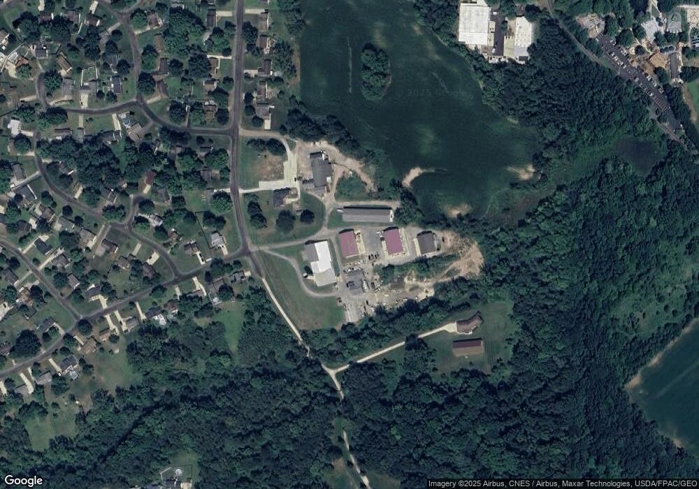
Map
Nearby Homes
- 915 Shackleton Dr
- 919 Baffin Dr
- 782 Beverly Ave
- 2101 Livingston Dr
- 12347 Stover Farm Dr NW
- 1719 Bruce St
- 921 Cabot Dr
- 1808 Pauli St
- 764 Chris Cir
- 10778 Yare Cir NW
- 707 Parkview Ave
- 872 Sandlewood Dr NW
- 11380 Banning Cir NW
- 5484 Bonham Ave NW
- 0 V L Milhaven Ave NW
- 12562 Weygandt St NW
- S/L 32 Lakewood Dr E
- S/L 27 Lakewood Dr E
- 10411 Scatell St NW
- 539 E Lakewood Dr
- 6594 Towpath Ave NW
- 6630 Towpath Ave NW
- 11838 Lockage Rd NW
- 11854 Lockage Rd NW
- 6615 Towpath Ave NW
- 6641 Towpath Ave NW
- 11870 Lockage Rd NW
- 6704 Towpath Ave NW
- 11861 Lockage Rd NW
- 6657 Towpath Ave NW
- 6722 Towpath Ave NW
- 6598 Canal Lock Ave NW
- 11858 Mill Race St NW
- 11890 Lockage Rd NW
- 11910 Lockland Cir NW
- 6744 Towpath Ave NW
- 6705 Towpath Ave NW
- 11874 Mill Race St NW
- 11908 Lockage Rd NW
- 6604 Canal Lock Ave NW