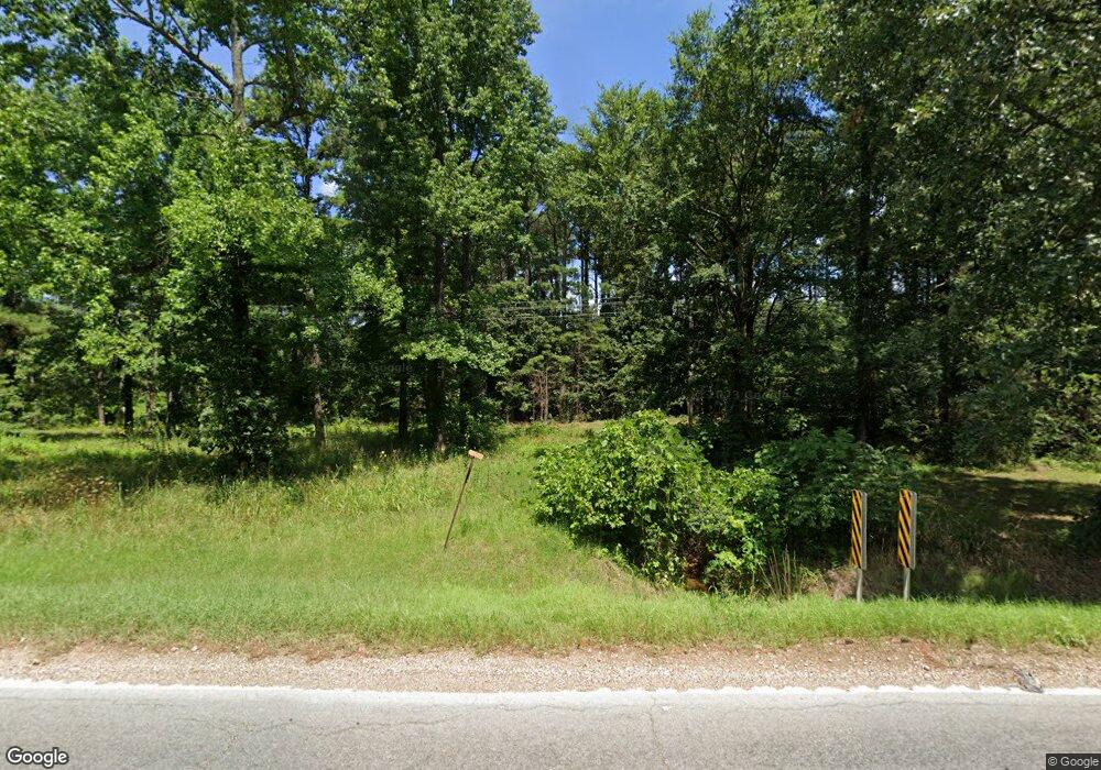
6625 Highway 351 Jonesboro, AR 72405
Estimated Value: $496,000 - $794,306
--
Bed
--
Bath
6,036
Sq Ft
$107/Sq Ft
Est. Value
About This Home
This home is located at 6625 Highway 351, Jonesboro, AR 72405 and is currently estimated at $645,769, approximately $106 per square foot. 6625 Highway 351 is a home with nearby schools including Brookland Elementary School, Brookland Middle School, and Brookland Junior High School.
Ownership History
Date
Name
Owned For
Owner Type
Purchase Details
Closed on
Dec 5, 2018
Sold by
Candy Ronald G and Gandy Tina O
Bought by
Jagger Hill Properties Llc
Current Estimated Value
Purchase Details
Closed on
Nov 3, 2011
Sold by
Marshall Nathan E and Marshall Tonya M
Bought by
Gandy Ronald G and Gandy Tina O
Home Financials for this Owner
Home Financials are based on the most recent Mortgage that was taken out on this home.
Original Mortgage
$85,321
Interest Rate
4.08%
Mortgage Type
FHA
Purchase Details
Closed on
Aug 2, 2002
Bought by
Gandy
Purchase Details
Closed on
May 2, 1989
Bought by
Barnett
Create a Home Valuation Report for This Property
The Home Valuation Report is an in-depth analysis detailing your home's value as well as a comparison with similar homes in the area
Home Values in the Area
Average Home Value in this Area
Purchase History
| Date | Buyer | Sale Price | Title Company |
|---|---|---|---|
| Jagger Hill Properties Llc | -- | None Available | |
| Gandy Ronald G | $82,000 | None Available | |
| Gandy | $158,000 | -- | |
| Barnett | $25,000 | -- |
Source: Public Records
Mortgage History
| Date | Status | Borrower | Loan Amount |
|---|---|---|---|
| Previous Owner | Gandy Ronald G | $85,321 |
Source: Public Records
Tax History Compared to Growth
Tax History
| Year | Tax Paid | Tax Assessment Tax Assessment Total Assessment is a certain percentage of the fair market value that is determined by local assessors to be the total taxable value of land and additions on the property. | Land | Improvement |
|---|---|---|---|---|
| 2025 | $5,389 | $114,416 | $9,063 | $105,353 |
| 2024 | $5,389 | $114,416 | $9,063 | $105,353 |
| 2023 | $3,751 | $80,501 | $9,063 | $71,438 |
| 2022 | $3,583 | $80,501 | $9,063 | $71,438 |
| 2021 | $1,911 | $38,990 | $7,680 | $31,310 |
| 2020 | $1,911 | $38,990 | $7,680 | $31,310 |
| 2019 | $1,911 | $38,990 | $7,680 | $31,310 |
| 2018 | $1,911 | $38,990 | $7,680 | $31,310 |
| 2017 | $1,764 | $38,990 | $7,680 | $31,310 |
| 2016 | $1,585 | $31,630 | $6,330 | $25,300 |
| 2015 | $75 | $29,370 | $6,330 | $23,040 |
| 2014 | $75 | $27,110 | $6,330 | $20,780 |
Source: Public Records
Map
Nearby Homes
- 6253 Highway 351
- 6253 Arkansas 351
- 83 County Road 7820
- 24 County Road 7820
- 41 Cr 7710
- 229 County Road 7820
- 229 Cr 7820
- 230 County Road 7710
- 137 County Road 765
- 240 County Road 765
- 487 County Road 7593
- 4086 Craighead 780 Rd
- 2164 Cr 762
- 2164 County Road 762
- 5936 745
- 5936 S 745
- 2833 County Road 759
- 40 County Road 795
- 4794 Highway 351
- 894 County Road 792
- 6753 Highway 351
- 6461 Highway 351
- 6791 Highway 351
- 6634 Highway 351
- 46 County Road 784
- 6433 Highway 351
- 0 Cr 772
- 6793 Highway 351
- 375 County Road 785
- 8 County Road 784
- 94 County Road 784
- 36 County Road 772
- 6482 Highway 351
- 392 County Road 771
- 66 County Road 772
- 6377 Highway 351 N
- 0 Cr 785
- 311 County Road 785
- 51 County Road 772
- 220 County Road 771
