6625 Kent Point Rd Stevensville, MD 21666
Estimated Value: $1,323,000 - $2,249,373
--
Bed
1
Bath
2,418
Sq Ft
$693/Sq Ft
Est. Value
About This Home
This home is located at 6625 Kent Point Rd, Stevensville, MD 21666 and is currently estimated at $1,675,458, approximately $692 per square foot. 6625 Kent Point Rd is a home located in Queen Anne's County with nearby schools including Matapeake Elementary School, Matapeake Middle School, and Kent Island High School.
Ownership History
Date
Name
Owned For
Owner Type
Purchase Details
Closed on
Apr 30, 1990
Sold by
Kent Fort Manor, Inc
Bought by
Kramer John J and Kramer Shirl A
Current Estimated Value
Home Financials for this Owner
Home Financials are based on the most recent Mortgage that was taken out on this home.
Original Mortgage
$243,750
Interest Rate
10.56%
Purchase Details
Closed on
Mar 17, 1989
Sold by
Carvel Elbert N
Bought by
Kent Fort Manor, Inc
Home Financials for this Owner
Home Financials are based on the most recent Mortgage that was taken out on this home.
Original Mortgage
$680,000
Interest Rate
10.98%
Create a Home Valuation Report for This Property
The Home Valuation Report is an in-depth analysis detailing your home's value as well as a comparison with similar homes in the area
Home Values in the Area
Average Home Value in this Area
Purchase History
| Date | Buyer | Sale Price | Title Company |
|---|---|---|---|
| Kramer John J | $325,000 | -- | |
| Kent Fort Manor, Inc | $200,000 | -- |
Source: Public Records
Mortgage History
| Date | Status | Borrower | Loan Amount |
|---|---|---|---|
| Closed | Kramer John J | $243,750 | |
| Previous Owner | Kent Fort Manor, Inc | $680,000 |
Source: Public Records
Tax History Compared to Growth
Tax History
| Year | Tax Paid | Tax Assessment Tax Assessment Total Assessment is a certain percentage of the fair market value that is determined by local assessors to be the total taxable value of land and additions on the property. | Land | Improvement |
|---|---|---|---|---|
| 2025 | $12,464 | $1,310,367 | $0 | $0 |
| 2024 | $11,917 | $1,252,333 | $0 | $0 |
| 2023 | $11,228 | $1,194,300 | $791,800 | $402,500 |
| 2022 | $10,897 | $1,190,233 | $0 | $0 |
| 2021 | $10,470 | $1,186,167 | $0 | $0 |
| 2020 | $10,470 | $1,182,100 | $846,800 | $335,300 |
| 2019 | $9,942 | $1,094,767 | $0 | $0 |
| 2018 | $9,432 | $1,007,433 | $0 | $0 |
| 2017 | $8,945 | $920,100 | $0 | $0 |
| 2016 | -- | $907,267 | $0 | $0 |
| 2015 | $8,201 | $894,467 | $0 | $0 |
| 2014 | $8,201 | $881,600 | $0 | $0 |
Source: Public Records
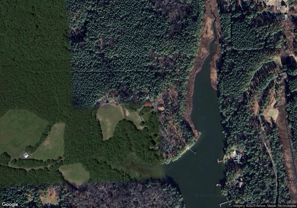
Map
Nearby Homes
- 0 Ackerman Dr
- 102 Golf Ct
- Lot 8 Ackerman Dr
- 214 Pennick Dr
- 210 Pennick Dr
- 203 Olive Branch Rd
- 213 Pennick Dr
- 224 Long Point Rd
- 208 Long Point Rd
- Lot 1 - E/Kent Point Romancoke
- 114 N Lake Dr
- 123 Long Point Rd
- 145 N Lake Dr
- 118 N Lake Dr
- 208 Tower Dr
- 8905 Romancoke Rd
- 9401 Romancoke Rd
- 312 S Lake Dr
- 201 Beachside Dr
- 101 Beachside Dr
- 120 Tanners Point Dr
- 122 Tanners Point Dr
- 124 Tanners Point Dr
- 126 Tanners Point Dr
- 128 Tanners Point Dr
- 125 Tanners Point Dr
- 106 Golf Ct
- 218 Ackerman Rd
- 104 Golf Ct
- 219 Ackerman Dr
- 130 Tanners Point Dr
- 112 Golf Ct
- 217 Ackerman Dr
- 200 Ackerman Dr
- 127 Tanners Point Dr
- 218 Olive Branch Rd
- 214 Ackerman Rd
- 215 Ackerman Dr
- 201 Ackerman Dr
- 6509 Kent Point Rd