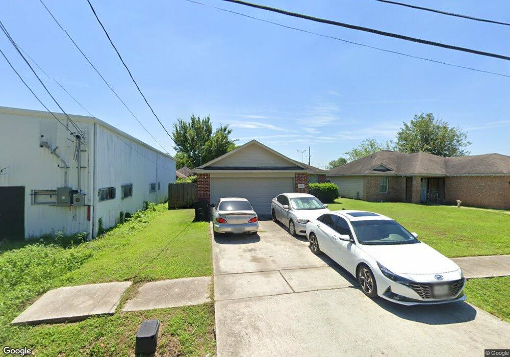
6627 New York St Houston, TX 77021
OST-South Union NeighborhoodEstimated Value: $223,000 - $306,000
3
Beds
2
Baths
1,339
Sq Ft
$188/Sq Ft
Est. Value
About This Home
This home is located at 6627 New York St, Houston, TX 77021 and is currently estimated at $252,020, approximately $188 per square foot. 6627 New York St is a home located in Harris County with nearby schools including Peck Elementary School, Cullen Middle School, and Yates High School.
Ownership History
Date
Name
Owned For
Owner Type
Purchase Details
Closed on
Apr 26, 2016
Sold by
Lindsey Frederick Lamar
Bought by
Elam Daydrian Kyandrea
Current Estimated Value
Purchase Details
Closed on
Jul 10, 2006
Sold by
Flanagan Linda Green
Bought by
Robinson Anncilla and Robinson Sallie
Home Financials for this Owner
Home Financials are based on the most recent Mortgage that was taken out on this home.
Original Mortgage
$94,800
Interest Rate
8.47%
Mortgage Type
Purchase Money Mortgage
Create a Home Valuation Report for This Property
The Home Valuation Report is an in-depth analysis detailing your home's value as well as a comparison with similar homes in the area
Home Values in the Area
Average Home Value in this Area
Purchase History
| Date | Buyer | Sale Price | Title Company |
|---|---|---|---|
| Elam Daydrian Kyandrea | -- | None Available | |
| Robinson Anncilla | -- | Ameritrust |
Source: Public Records
Mortgage History
| Date | Status | Borrower | Loan Amount |
|---|---|---|---|
| Previous Owner | Robinson Anncilla | $94,800 |
Source: Public Records
Tax History Compared to Growth
Tax History
| Year | Tax Paid | Tax Assessment Tax Assessment Total Assessment is a certain percentage of the fair market value that is determined by local assessors to be the total taxable value of land and additions on the property. | Land | Improvement |
|---|---|---|---|---|
| 2025 | $361 | $241,911 | $85,000 | $156,911 |
| 2024 | $361 | $257,197 | $85,000 | $172,197 |
| 2023 | $361 | $254,806 | $77,500 | $177,306 |
| 2022 | $3,315 | $212,225 | $70,000 | $142,225 |
| 2021 | $3,190 | $168,723 | $42,500 | $126,223 |
| 2020 | $3,013 | $147,005 | $27,500 | $119,505 |
| 2019 | $2,862 | $151,017 | $27,500 | $123,517 |
| 2018 | $661 | $102,823 | $22,500 | $80,323 |
| 2017 | $2,600 | $102,823 | $22,500 | $80,323 |
| 2016 | $2,600 | $102,823 | $22,500 | $80,323 |
| 2015 | $855 | $102,823 | $22,500 | $80,323 |
| 2014 | $855 | $91,427 | $12,500 | $78,927 |
Source: Public Records
Map
Nearby Homes
- 6637 New York St
- 6636 New York St
- 6710 New York St
- 6614 London St Unit 12
- 6726 Paris St Unit A-B
- 6730 Paris St Unit A/B
- 6531 London St
- 6734 Paris St Unit A-B
- 0 Ward St Unit 79606542
- 6602 Cullen Blvd
- 6627 Eastwood St
- 5910 Cullen Blvd
- 6711 Eastwood St
- 6747 Liverpool St
- 4512 Ward St
- 6301 Eastwood St
- 6714 Dumble St
- 6726 Dumble St Unit A/B
- 6807 Paris St
- 6431 Paris St
- 6631 New York St
- 6621 New York St
- 6635 New York St
- 6612 Paris St
- 6610 Paris St
- 6608 Paris St
- 6634 New York St
- 6609 New York St
- 6606 Paris St
- 6623 Paris St
- 6610 New York
- 6619 Paris St
- 4521 Yellowstone Blvd
- 6601 New York St
- 6430 Paris St
- 6615 Paris St
- 4520 New York St
- 6602 Paris St
- 6611 Paris St
- 6605 New York St