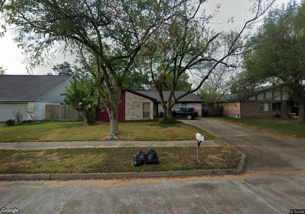
6627 Sandswept Ln Houston, TX 77086
North Houston NeighborhoodEstimated Value: $223,340 - $248,000
3
Beds
2
Baths
1,855
Sq Ft
$128/Sq Ft
Est. Value
About This Home
This home is located at 6627 Sandswept Ln, Houston, TX 77086 and is currently estimated at $236,585, approximately $127 per square foot. 6627 Sandswept Ln is a home located in Harris County with nearby schools including Kujawa EC/Pre-K/K School, Carmichael Elementary School, and Shotwell Middle School.
Ownership History
Date
Name
Owned For
Owner Type
Purchase Details
Closed on
Jul 28, 1995
Sold by
Hinduja Jagdish N and Hinduja Deepa J
Bought by
Crawford Henry D and Crawford Charlotte D
Current Estimated Value
Home Financials for this Owner
Home Financials are based on the most recent Mortgage that was taken out on this home.
Original Mortgage
$53,350
Interest Rate
7.51%
Create a Home Valuation Report for This Property
The Home Valuation Report is an in-depth analysis detailing your home's value as well as a comparison with similar homes in the area
Home Values in the Area
Average Home Value in this Area
Purchase History
| Date | Buyer | Sale Price | Title Company |
|---|---|---|---|
| Crawford Henry D | -- | Heritage Title Company |
Source: Public Records
Mortgage History
| Date | Status | Borrower | Loan Amount |
|---|---|---|---|
| Closed | Crawford Henry D | $53,350 |
Source: Public Records
Tax History Compared to Growth
Tax History
| Year | Tax Paid | Tax Assessment Tax Assessment Total Assessment is a certain percentage of the fair market value that is determined by local assessors to be the total taxable value of land and additions on the property. | Land | Improvement |
|---|---|---|---|---|
| 2025 | $939 | $224,522 | $39,200 | $185,322 |
| 2024 | $939 | $224,522 | $39,200 | $185,322 |
| 2023 | $939 | $214,714 | $39,200 | $175,514 |
| 2022 | $3,597 | $181,004 | $33,220 | $147,784 |
| 2021 | $3,262 | $151,226 | $33,220 | $118,006 |
| 2020 | $3,297 | $141,373 | $33,220 | $108,153 |
| 2019 | $3,116 | $136,483 | $16,939 | $119,544 |
| 2018 | $1,090 | $128,000 | $16,939 | $111,061 |
| 2017 | $2,483 | $121,483 | $15,211 | $106,272 |
| 2016 | $2,258 | $108,581 | $15,211 | $93,370 |
| 2015 | $1,582 | $102,545 | $15,211 | $87,334 |
| 2014 | $1,582 | $77,502 | $15,211 | $62,291 |
Source: Public Records
Map
Nearby Homes
- 6615 Winding Trace Dr
- 6722 Winding Trace Dr
- 10522 Northview Dr
- 6502 Trail Valley Way
- 6630 Brownie Campbell Rd
- 6654 Brownie Campbell Rd
- 10306 Jillana Kaye Dr
- 6911 Silver Star Dr
- 6610 Northleaf Dr
- 7002 Sandswept Ln
- 6822 Dusty Dawn Dr
- 6606 Dusty Dawn Dr
- 7023 Sandswept Ln
- 11009 Panicum Ct
- 11006 Crinkleawn Dr
- 6703 Deer Ridge Ln
- 10214 Trade Winds Dr
- 11021 Crenchrus Ct
- 11007 Tobasa Ct
- 13610 Kaltenbrun Rd
- 6631 Sandswept Ln
- 6623 Sandswept Ln
- 6626 Trail Valley Way
- 6635 Sandswept Ln
- 6622 Trail Valley Way
- 6619 Sandswept Ln
- 6618 Trail Valley Way
- 6702 Trail Valley Way
- 6626 Sandswept Ln
- 6630 Sandswept Ln
- 6622 Sandswept Ln
- 6639 Sandswept Ln
- 6615 Sandswept Ln
- 6634 Sandswept Ln
- 6618 Sandswept Ln
- 6614 Trail Valley Way
- 6706 Trail Valley Way
- 6638 Sandswept Ln
- 6611 Sandswept Ln
- 6643 Sandswept Ln