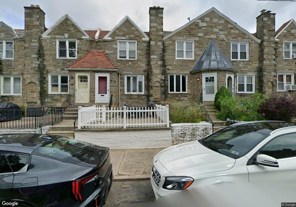
6628 Lynford St Philadelphia, PA 19149
Castor Gardens NeighborhoodEstimated Value: $183,000 - $245,290
3
Beds
1
Bath
1,496
Sq Ft
$143/Sq Ft
Est. Value
About This Home
This home is located at 6628 Lynford St, Philadelphia, PA 19149 and is currently estimated at $213,573, approximately $142 per square foot. 6628 Lynford St is a home located in Philadelphia County with nearby schools including Gilbert Spruance School, Northeast High School, and Gospel of Grace Christian School.
Ownership History
Date
Name
Owned For
Owner Type
Purchase Details
Closed on
Jun 15, 2001
Sold by
Sforza John and Sforza Rosemarie
Bought by
Smith Dwayne C and Fitzhugh Smith Koreama N
Current Estimated Value
Home Financials for this Owner
Home Financials are based on the most recent Mortgage that was taken out on this home.
Original Mortgage
$70,839
Outstanding Balance
$26,885
Interest Rate
7.09%
Mortgage Type
FHA
Estimated Equity
$186,688
Create a Home Valuation Report for This Property
The Home Valuation Report is an in-depth analysis detailing your home's value as well as a comparison with similar homes in the area
Home Values in the Area
Average Home Value in this Area
Purchase History
| Date | Buyer | Sale Price | Title Company |
|---|---|---|---|
| Smith Dwayne C | $71,400 | -- |
Source: Public Records
Mortgage History
| Date | Status | Borrower | Loan Amount |
|---|---|---|---|
| Open | Smith Dwayne C | $70,839 |
Source: Public Records
Tax History Compared to Growth
Tax History
| Year | Tax Paid | Tax Assessment Tax Assessment Total Assessment is a certain percentage of the fair market value that is determined by local assessors to be the total taxable value of land and additions on the property. | Land | Improvement |
|---|---|---|---|---|
| 2025 | $1,893 | $230,900 | $46,180 | $184,720 |
| 2024 | $1,893 | $230,900 | $46,180 | $184,720 |
| 2023 | $1,893 | $135,200 | $27,040 | $108,160 |
| 2022 | $1,263 | $90,200 | $27,040 | $63,160 |
| 2021 | $1,893 | $0 | $0 | $0 |
| 2020 | $1,893 | $0 | $0 | $0 |
| 2019 | $1,816 | $0 | $0 | $0 |
| 2018 | $1,263 | $0 | $0 | $0 |
| 2017 | $1,683 | $0 | $0 | $0 |
| 2016 | $1,263 | $0 | $0 | $0 |
| 2015 | $1,209 | $0 | $0 | $0 |
| 2014 | -- | $120,200 | $18,047 | $102,153 |
| 2012 | -- | $14,944 | $1,739 | $13,205 |
Source: Public Records
Map
Nearby Homes
- 6626 Lynford St
- 6739 Lynford St
- 1425 Fanshawe St
- 1437 Magee Ave
- 1417 Unruh Ave
- 6640 Souder St
- 1412 Magee Ave
- 1431 Greeby St
- 6827 Lynford St
- 1353 Fanshawe St
- 1409 Greeby St
- 1353 Wells St
- 6834 Large St
- 1500 Hellerman St
- 6829 Horrocks St
- 1535 Hellerman St
- 1343 Greeby St
- 6621 Sylvester St
- 1324 Unruh Ave
- 1501 Elbridge St
- 6630 Lynford St
- 6632 Lynford St
- 6624 Lynford St
- 6634 Lynford St
- 6622 Lynford St
- 6636 Lynford St
- 6620 Lynford St
- 6631 Rutland St
- 6638 Lynford St
- 6629 Rutland St
- 6633 Rutland St
- 6627 Rutland St
- 6618 Lynford St
- 6625 Rutland St
- 6635 Rutland St
- 6623 Rutland St
- 6640 Lynford St
- 6637 Rutland St
- 6616 Lynford St
- 6621 Rutland St