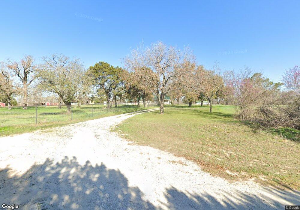
6628 Norris Cir Weatherford, TX 76087
Estimated Value: $456,000
--
Bed
--
Bath
2,074
Sq Ft
$220/Sq Ft
Est. Value
About This Home
This home is located at 6628 Norris Cir, Weatherford, TX 76087 and is currently estimated at $456,000, approximately $219 per square foot. 6628 Norris Cir is a home located in Parker County with nearby schools including Austin Elementary School, Hall Middle School, and Weatherford High School.
Ownership History
Date
Name
Owned For
Owner Type
Purchase Details
Closed on
Nov 20, 2023
Sold by
C Ted Mayberry Darlene Mayberry Family R
Bought by
Childers Teresa Mayberry and Childers Gary
Current Estimated Value
Purchase Details
Closed on
Jan 20, 2003
Sold by
Mayberry C T
Bought by
Mayberry Family Rev Liv Trust
Purchase Details
Closed on
Mar 24, 1967
Bought by
Mayberry Family Rev Liv Trust
Purchase Details
Closed on
Jan 1, 1901
Bought by
Mayberry Family Rev Liv Trust
Create a Home Valuation Report for This Property
The Home Valuation Report is an in-depth analysis detailing your home's value as well as a comparison with similar homes in the area
Home Values in the Area
Average Home Value in this Area
Purchase History
| Date | Buyer | Sale Price | Title Company |
|---|---|---|---|
| Childers Teresa Mayberry | -- | None Listed On Document | |
| Mayberry Family Rev Liv Trust | -- | -- | |
| Mayberry Family Rev Liv Trust | -- | -- | |
| Mayberry Family Rev Liv Trust | -- | -- |
Source: Public Records
Tax History Compared to Growth
Tax History
| Year | Tax Paid | Tax Assessment Tax Assessment Total Assessment is a certain percentage of the fair market value that is determined by local assessors to be the total taxable value of land and additions on the property. | Land | Improvement |
|---|---|---|---|---|
| 2025 | $766 | $239,898 | -- | -- |
| 2024 | $766 | $216,271 | -- | -- |
| 2023 | $766 | $196,610 | $0 | $0 |
| 2022 | $3,324 | $178,740 | $19,210 | $159,530 |
| 2021 | $3,316 | $178,740 | $19,210 | $159,530 |
| 2020 | $3,029 | $149,700 | $18,180 | $131,520 |
| 2019 | $3,228 | $149,700 | $18,180 | $131,520 |
| 2018 | $3,110 | $152,330 | $12,490 | $139,840 |
| 2017 | $2,885 | $152,330 | $12,490 | $139,840 |
| 2016 | $2,623 | $118,150 | $9,710 | $108,440 |
| 2015 | $1,163 | $118,150 | $9,710 | $108,440 |
| 2014 | $1,302 | $98,570 | $9,710 | $88,860 |
Source: Public Records
Map
Nearby Homes
- 1001 Trinity Oaks Rd
- 425 Fm 1708
- 8300 Norris Cir
- TBD Tbd
- tbd Pinnacle Peak Ln
- 145 Tobiano Trace
- 133 Tobiano Trace
- 650 Spring Creek Pkwy
- 224 Gallatin Rd
- 432 Creekside Ct
- 1400 Spring Creek Rd
- XXX Tin Top Rd
- 1001 Bluebonnet Ridge
- 100 Haydon Creek Rd
- 1849 Floyd Rd
- 1841 Floyd Rd
- 113 Oaks Springs Ln
- 1019 Bluebonnet Ridge
- 1020 Bluebonnet Ridge
- 3952 Tin Top Rd
- 6678 Norris Cir
- 151 Foxpointe Cir
- 6733 Norris Cir
- 145 Foxpointe Cir
- 155 Foxpointe Cir
- 137 Fox Point Cir
- 129 Foxpointe Cir
- 146 Foxpointe Cir
- 159 Foxpointe Cir
- 138 Foxpointe Cir
- 154 Foxpointe Cir
- 123 Foxpointe Cir
- 130 Foxpointe Cir
- 114 Elm Crest Ct
- 163 Foxpointe Cir
- 6809 Norris Cir
- 170 Foxpointe Cir
- 201 Spring Creek Rd
- 107 Elm Crest Ct
- 122 Foxpointe Cir