663 Burnt Ridge Rd Onalaska, WA 98570
Estimated Value: $593,000 - $734,000
3
Beds
3
Baths
2,149
Sq Ft
$293/Sq Ft
Est. Value
About This Home
This home is located at 663 Burnt Ridge Rd, Onalaska, WA 98570 and is currently estimated at $629,179, approximately $292 per square foot. 663 Burnt Ridge Rd is a home located in Lewis County with nearby schools including Onalaska Elementary School and Onalaska High School.
Ownership History
Date
Name
Owned For
Owner Type
Purchase Details
Closed on
Jun 2, 2011
Sold by
Federal Home Loan Mortgage Corporation
Bought by
Carpenter Tom R and Hammett Julie T
Current Estimated Value
Home Financials for this Owner
Home Financials are based on the most recent Mortgage that was taken out on this home.
Original Mortgage
$159,920
Outstanding Balance
$109,169
Interest Rate
4.73%
Mortgage Type
New Conventional
Estimated Equity
$520,010
Purchase Details
Closed on
Jan 26, 2011
Sold by
Rains Michael A and Padilla Virginia F
Bought by
Federal Home Loan Mortgage Corp
Purchase Details
Closed on
Apr 20, 2006
Sold by
James L And Gwendolyn N Rains Living Tru
Bought by
Rains Michael A and Padilla Virginia F
Home Financials for this Owner
Home Financials are based on the most recent Mortgage that was taken out on this home.
Original Mortgage
$212,000
Interest Rate
6.35%
Mortgage Type
New Conventional
Create a Home Valuation Report for This Property
The Home Valuation Report is an in-depth analysis detailing your home's value as well as a comparison with similar homes in the area
Purchase History
| Date | Buyer | Sale Price | Title Company |
|---|---|---|---|
| Carpenter Tom R | -- | Title Guaranty | |
| Federal Home Loan Mortgage Corp | $115,922 | Lewis County Title | |
| Rains Michael A | -- | None Available |
Source: Public Records
Mortgage History
| Date | Status | Borrower | Loan Amount |
|---|---|---|---|
| Open | Carpenter Tom R | $159,920 | |
| Previous Owner | Rains Michael A | $212,000 |
Source: Public Records
Tax History
| Year | Tax Paid | Tax Assessment Tax Assessment Total Assessment is a certain percentage of the fair market value that is determined by local assessors to be the total taxable value of land and additions on the property. | Land | Improvement |
|---|---|---|---|---|
| 2024 | $3,489 | $548,700 | $126,600 | $422,100 |
| 2023 | $3,492 | $529,400 | $93,300 | $436,100 |
| 2022 | $3,071 | $398,900 | $73,900 | $325,000 |
| 2021 | $3,042 | $398,900 | $73,900 | $325,000 |
| 2020 | $3,062 | $351,400 | $61,600 | $289,800 |
| 2019 | $2,730 | $331,100 | $61,600 | $269,500 |
| 2018 | $2,900 | $290,300 | $54,000 | $236,300 |
| 2017 | $2,658 | $281,700 | $53,700 | $228,000 |
Source: Public Records
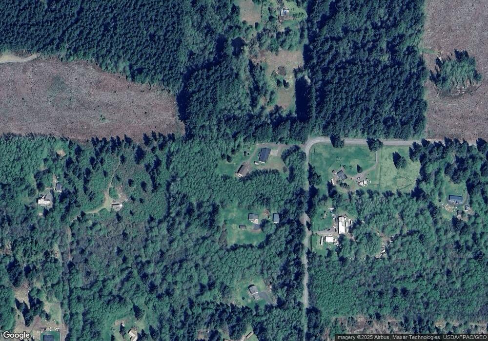
Map
Nearby Homes
- 148 Burnt Ridge Rd
- 378 Burnt Ridge Rd
- 104 Bills Ln
- 0 State Hwy 508 Unit NWM2441941
- 997 Burnt Ridge Rd
- 249 Burnt Ridge Rd
- 3356 State Highway 508
- 236 Tryon Rd
- 140 Vetter Ln
- 371 Pigeon Springs Rd
- 177 Starlight Dr
- 409 Shanklin Rd
- 646 Jorgensen Rd
- 0 August Rd Unit NWM2482438
- 0 View Ridge Rd Unit NWM2434545
- 0 Shanklin Rd Unit NWM2414157
- 115 Cinebar Rd
- 150 Jorgensen Rd
- 198 Calvin Rd
- 132 Quiet Acres Dr
- 649 Burnt Ridge Rd
- 678 Burnt Ridge Rd
- 631 Burnt Ridge Rd
- 665 Burnt Ridge Rd
- 692 Burnt Ridge Rd
- 110 Tillie Rd
- 134 Tillie Rd
- 616 Burnt Ridge Rd
- 136 Willie Ln
- 109 Tillie Rd
- 101 Willie Ln
- 614 Burnt Ridge Rd
- 0 L4 Tillie Rd
- 591 Burnt Ridge Rd
- 167 Tillie Rd
- 174 Tillie Rd
- 582 Burnt Ridge Rd
- 201 Tillie Rd
- 588 Burnt Ridge Rd Unit 37
- 0 Willie Ln
Your Personal Tour Guide
Ask me questions while you tour the home.