663 Fox Run Cir Newark, OH 43055
Estimated Value: $204,000 - $241,000
2
Beds
2
Baths
851
Sq Ft
$260/Sq Ft
Est. Value
About This Home
This home is located at 663 Fox Run Cir, Newark, OH 43055 and is currently estimated at $221,677, approximately $260 per square foot. 663 Fox Run Cir is a home located in Licking County with nearby schools including Legend Elementary School, Liberty Middle School, and Newark High School.
Ownership History
Date
Name
Owned For
Owner Type
Purchase Details
Closed on
Sep 22, 2006
Sold by
Mid Ohio Development/Fox Run Condominium
Bought by
Dowell Joan R
Current Estimated Value
Home Financials for this Owner
Home Financials are based on the most recent Mortgage that was taken out on this home.
Original Mortgage
$76,400
Outstanding Balance
$6,645
Interest Rate
6.59%
Mortgage Type
Purchase Money Mortgage
Estimated Equity
$215,032
Create a Home Valuation Report for This Property
The Home Valuation Report is an in-depth analysis detailing your home's value as well as a comparison with similar homes in the area
Home Values in the Area
Average Home Value in this Area
Purchase History
| Date | Buyer | Sale Price | Title Company |
|---|---|---|---|
| Dowell Joan R | $108,900 | None Available |
Source: Public Records
Mortgage History
| Date | Status | Borrower | Loan Amount |
|---|---|---|---|
| Open | Dowell Joan R | $76,400 |
Source: Public Records
Tax History
| Year | Tax Paid | Tax Assessment Tax Assessment Total Assessment is a certain percentage of the fair market value that is determined by local assessors to be the total taxable value of land and additions on the property. | Land | Improvement |
|---|---|---|---|---|
| 2024 | $1,859 | $56,770 | $19,250 | $37,520 |
| 2023 | $1,915 | $56,770 | $19,250 | $37,520 |
| 2022 | $1,266 | $37,100 | $7,350 | $29,750 |
| 2021 | $1,324 | $37,100 | $7,350 | $29,750 |
| 2020 | $1,351 | $37,100 | $7,350 | $29,750 |
| 2019 | $1,372 | $36,270 | $6,130 | $30,140 |
| 2018 | $1,366 | $0 | $0 | $0 |
| 2017 | $1,406 | $0 | $0 | $0 |
| 2016 | $1,469 | $0 | $0 | $0 |
| 2015 | $1,497 | $0 | $0 | $0 |
| 2014 | -- | $0 | $0 | $0 |
| 2013 | $1,428 | $0 | $0 | $0 |
Source: Public Records
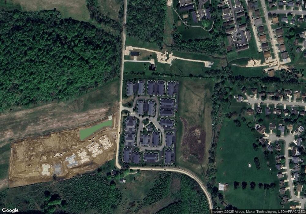
Map
Nearby Homes
- 681 Woods Edge Ln
- 708 Olde Creek Dr
- 1860 Churchill Downs Rd
- 1517 S Hunters Dr
- 4491 Price Rd NE
- 342 W Hunters Dr
- 1636 E Turkey Run Dr
- 0 Burch Dr NE
- 1251 Pineview Trail Unit A
- 301 N Vernon Ave
- 1001 Kingsbury Ct Unit 1001
- 1954 Iselin St
- 1821 Mount Vernon Rd
- 4387 Milner Rd NE
- 1989 Iselin St
- 946 Lateglow Ct
- 1956 Jamesburg St
- 1972 Jamesburg St
- 1964 Jamesburg St
- 1960 Jamesburg St
- 661 Fox Run Cir S
- 661 Fox Run Cir
- 665 Fox Run Cir Unit 665
- 665 Fox Run Cir S
- 667 Fox Run Cir Unit 667
- 681 Fox Run Cir S
- 685 Fox Run Cir S
- 685 Fox Run Cir N
- 687 Fox Run Cir S
- 687 Fox Run Cir Unit 687
- 687 Fox Run Cir N
- 681 Fox Run Cir Unit 681
- 683 Fox Run Cir Unit 683
- 685 Fox Run Cir
- 682 Fox Run Cir N
- 682 Fox Run Cir
- 682 Fox Run Cir S
- 684 Fox Run Cir Unit 684
- 684 Fox Run Cir S
- 600 Fox Run Cir S
Your Personal Tour Guide
Ask me questions while you tour the home.