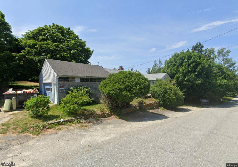
663 Naskeag Rd Brooklin, ME 04616
Estimated Value: $137,000 - $551,000
2
Beds
2
Baths
1,290
Sq Ft
$289/Sq Ft
Est. Value
About This Home
This home is located at 663 Naskeag Rd, Brooklin, ME 04616 and is currently estimated at $373,115, approximately $289 per square foot. 663 Naskeag Rd is a home with nearby schools including Brooklin School.
Ownership History
Date
Name
Owned For
Owner Type
Purchase Details
Closed on
Jun 28, 2024
Sold by
Chamberlin Lynne A
Bought by
Hoban Kristen N
Current Estimated Value
Home Financials for this Owner
Home Financials are based on the most recent Mortgage that was taken out on this home.
Original Mortgage
$128,250
Outstanding Balance
$126,727
Interest Rate
7.02%
Mortgage Type
Purchase Money Mortgage
Estimated Equity
$246,388
Purchase Details
Closed on
Mar 26, 2024
Sold by
Brkline Town Of
Bought by
Chamberlin James M and Chamberlin Lynne A
Create a Home Valuation Report for This Property
The Home Valuation Report is an in-depth analysis detailing your home's value as well as a comparison with similar homes in the area
Home Values in the Area
Average Home Value in this Area
Purchase History
| Date | Buyer | Sale Price | Title Company |
|---|---|---|---|
| Hoban Kristen N | -- | None Available | |
| Hoban Kristen N | -- | None Available | |
| Chamberlin James M | -- | None Available | |
| Chamberlin James M | -- | None Available |
Source: Public Records
Mortgage History
| Date | Status | Borrower | Loan Amount |
|---|---|---|---|
| Open | Hoban Kristen N | $128,250 | |
| Closed | Hoban Kristen N | $128,250 |
Source: Public Records
Tax History Compared to Growth
Tax History
| Year | Tax Paid | Tax Assessment Tax Assessment Total Assessment is a certain percentage of the fair market value that is determined by local assessors to be the total taxable value of land and additions on the property. | Land | Improvement |
|---|---|---|---|---|
| 2024 | $1,918 | $262,700 | $69,000 | $193,700 |
| 2023 | $1,541 | $211,100 | $69,000 | $142,100 |
| 2022 | $1,375 | $185,800 | $64,700 | $121,100 |
| 2021 | $1,407 | $185,800 | $64,700 | $121,100 |
| 2020 | $1,356 | $185,800 | $64,700 | $121,100 |
| 2019 | $1,094 | $146,800 | $64,700 | $82,100 |
| 2018 | $1,086 | $146,800 | $64,700 | $82,100 |
| 2017 | $1,072 | $146,800 | $64,700 | $82,100 |
| 2016 | $1,057 | $146,800 | $64,700 | $82,100 |
| 2015 | $1,057 | $146,800 | $64,700 | $82,100 |
| 2014 | $1,057 | $146,800 | $64,700 | $82,100 |
| 2013 | $969 | $146,800 | $64,700 | $82,100 |
Source: Public Records
Map
Nearby Homes
- 22 Hope Ln
- 00 Periwinkle Ln
- 106 Naskeag Rd
- 17 Duck Cove Rd
- 111 Old Place Rd
- 2 Bar Island
- 40 Reach Rd
- 9 River Rd Unit Lot 3
- 9 River Rd Unit Lot 6
- 121 Greenlaw District Rd
- Part of Map 1 Lot 18 Jericho Bay Rd
- 183 Davis Farm Rd
- 36 Greenlaw District Rd
- 5 River Rd
- 70 Island Retreat Rd
- 87 Carter Point Rd
- 36 Treasure Ln
- 90 Quaco Rd
- 8 Bar Island
- 2 Twin Oaks Ln
- 663 Naskeag Point Rd
- 0 Back & Naskeag Point Rd Unit 1420624
- 666 Naskeag Rd
- 666 Naskeag Rd Unit 2
- 652 Naskeag Rd
- 649 Naskeag Rd
- 641 Naskeag Rd
- 297 Back Rd
- 635 Naskeag Rd
- 288 Back Rd
- 282 Back Rd
- 285 Back Rd
- 627 Naskeag Rd
- 6 Lagace Ln
- 14 Lagace Ln
- 23 Lagace Ln
- 29 Lagace Ln
- 262 Back Rd
- 611 Naskeag Rd
- 34 Lagace Ln