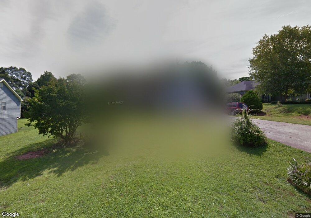
663 Thorn Brook Ridge Bethlehem, GA 30620
Estimated Value: $267,000 - $296,000
3
Beds
2
Baths
1,307
Sq Ft
$216/Sq Ft
Est. Value
About This Home
This home is located at 663 Thorn Brook Ridge, Bethlehem, GA 30620 and is currently estimated at $282,964, approximately $216 per square foot. 663 Thorn Brook Ridge is a home located in Barrow County with nearby schools including Bethlehem Elementary School, Haymon-Morris Middle School, and Apalachee High School.
Ownership History
Date
Name
Owned For
Owner Type
Purchase Details
Closed on
Feb 11, 1997
Sold by
Harbin Constr
Bought by
Bolden Michael Tamara
Current Estimated Value
Purchase Details
Closed on
Dec 10, 1996
Sold by
Hu Ka Builders Inc
Bought by
Construc Todd Harbin
Purchase Details
Closed on
May 18, 1995
Bought by
Hu Ka Builders Inc
Create a Home Valuation Report for This Property
The Home Valuation Report is an in-depth analysis detailing your home's value as well as a comparison with similar homes in the area
Home Values in the Area
Average Home Value in this Area
Purchase History
| Date | Buyer | Sale Price | Title Company |
|---|---|---|---|
| Bolden Michael Tamara | $81,900 | -- | |
| Construc Todd Harbin | $16,500 | -- | |
| Hu Ka Builders Inc | -- | -- |
Source: Public Records
Mortgage History
| Date | Status | Borrower | Loan Amount |
|---|---|---|---|
| Closed | Bolden Michael Tamara | $0 |
Source: Public Records
Tax History
| Year | Tax Paid | Tax Assessment Tax Assessment Total Assessment is a certain percentage of the fair market value that is determined by local assessors to be the total taxable value of land and additions on the property. | Land | Improvement |
|---|---|---|---|---|
| 2025 | $1,855 | $92,433 | $24,000 | $68,433 |
| 2024 | $1,483 | $68,394 | $17,200 | $51,194 |
| 2023 | $1,035 | $68,394 | $17,200 | $51,194 |
| 2022 | $1,596 | $64,054 | $17,200 | $46,854 |
| 2021 | $1,636 | $62,054 | $15,200 | $46,854 |
| 2020 | $1,455 | $54,358 | $12,000 | $42,358 |
| 2019 | $1,369 | $49,862 | $12,000 | $37,862 |
| 2018 | $1,291 | $46,964 | $10,600 | $36,364 |
| 2017 | $1,114 | $38,249 | $9,000 | $29,249 |
| 2016 | $1,058 | $37,738 | $13,000 | $24,738 |
| 2015 | $1,066 | $38,034 | $13,000 | $25,034 |
| 2014 | $838 | $31,998 | $6,370 | $25,628 |
| 2013 | -- | $30,784 | $6,370 | $24,414 |
Source: Public Records
Map
Nearby Homes
- 724 Manger Ave
- 14 Rowlett Place
- 13 Rowlett Place
- 0 Manger Ave E Unit 20154677
- 0 Manger Ave E Unit 20127001
- 784 Manger Ave
- 812 Christmas Ave
- 3784 Aiyana Way
- 22 Mallard Creek Way
- 898 Harrison Mill Rd
- 0 Monroe Hwy Unit 7530054
- 0 Monroe Hwy Unit 10466108
- 541 Harris Dr
- 449 & 455 Carl-Bethlehem Rd
- 203 Nativity Cove
- 203 Nativity Cove Unit LOT 27
- 328 Advent Dr
- 825 Arch Tanner Rd
- T1 461 Harry McCarty Rd
- 220 Carl Bethlehem Rd SW
- 665 Thorn Brook Ridge
- 661 Thorn Brook Ridge
- 133 Thorn Brook Ridge
- 667 Thorn Brook Ridge
- 659 Thorn Brook Ridge
- 664 Thorn Brook Ridge
- 657 Thorn Brook Ridge
- 669 Thorn Brook Ridge
- 668 Thorn Brook Ridge
- 249 Thorn Brook Cir
- 655 Thorn Brook Ridge
- 658 Thorn Brook Ridge
- 250 Thorn Brook Cir
- 250 Thorn Brook Cir
- 680 Thorn Brook Ridge
- 671 Thorn Brook Ridge Unit 11
- 671 Thorn Brook Ridge
- 653 Thorn Brook Ridge
- 253 Thorn Brook Cir
- 222 !Dnp! Test Listing
Your Personal Tour Guide
Ask me questions while you tour the home.