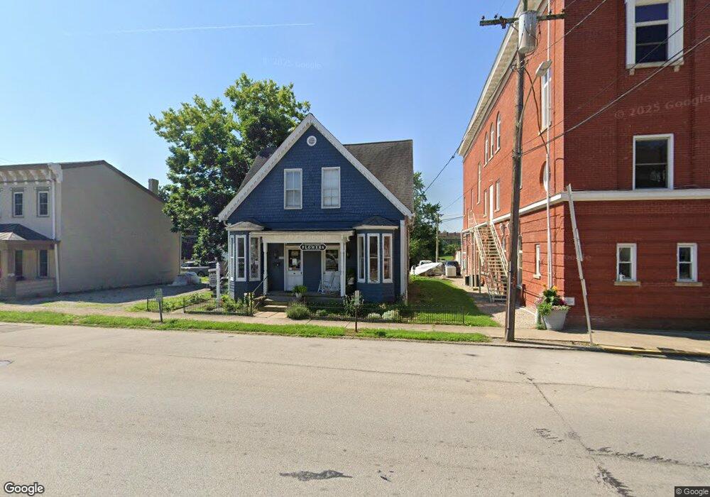
6632 T McNown Rd Georgetown, OH 45121
Estimated Value: $160,000 - $195,000
3
Beds
2
Baths
1,580
Sq Ft
$109/Sq Ft
Est. Value
About This Home
This home is located at 6632 T McNown Rd, Georgetown, OH 45121 and is currently estimated at $171,644, approximately $108 per square foot. 6632 T McNown Rd is a home located in Brown County with nearby schools including Russellville Elementary School, Sardinia Elementary School, and Eastern Middle School.
Ownership History
Date
Name
Owned For
Owner Type
Purchase Details
Closed on
Oct 2, 2007
Sold by
Federal Home Loan Mortgage Corporation
Bought by
Minnix Jason L and Minnix Melissa
Current Estimated Value
Purchase Details
Closed on
May 11, 2007
Sold by
Parks Ronald A and Parks Connie L
Bought by
Federal Home Loan Mortgage Corporation
Purchase Details
Closed on
Nov 8, 2000
Sold by
Grammar Herbert
Bought by
Parks Ronald A and Parks Connie L
Home Financials for this Owner
Home Financials are based on the most recent Mortgage that was taken out on this home.
Original Mortgage
$31,500
Interest Rate
7.91%
Mortgage Type
New Conventional
Create a Home Valuation Report for This Property
The Home Valuation Report is an in-depth analysis detailing your home's value as well as a comparison with similar homes in the area
Home Values in the Area
Average Home Value in this Area
Purchase History
| Date | Buyer | Sale Price | Title Company |
|---|---|---|---|
| Minnix Jason L | -- | None Available | |
| Federal Home Loan Mortgage Corporation | $20,000 | None Available | |
| Parks Ronald A | $35,000 | -- |
Source: Public Records
Mortgage History
| Date | Status | Borrower | Loan Amount |
|---|---|---|---|
| Previous Owner | Parks Ronald A | $31,500 |
Source: Public Records
Tax History Compared to Growth
Tax History
| Year | Tax Paid | Tax Assessment Tax Assessment Total Assessment is a certain percentage of the fair market value that is determined by local assessors to be the total taxable value of land and additions on the property. | Land | Improvement |
|---|---|---|---|---|
| 2024 | $1,264 | $35,690 | $3,670 | $32,020 |
| 2023 | $1,264 | $23,720 | $3,100 | $20,620 |
| 2022 | $915 | $23,720 | $3,100 | $20,620 |
| 2021 | $906 | $23,720 | $3,100 | $20,620 |
| 2020 | $803 | $19,790 | $2,600 | $17,190 |
| 2019 | $797 | $19,790 | $2,600 | $17,190 |
| 2018 | $792 | $19,790 | $2,600 | $17,190 |
| 2017 | $527 | $15,640 | $2,860 | $12,780 |
| 2016 | $527 | $15,640 | $2,860 | $12,780 |
| 2015 | $547 | $15,640 | $2,860 | $12,780 |
| 2014 | $547 | $15,380 | $2,600 | $12,780 |
| 2013 | $545 | $15,380 | $2,600 | $12,780 |
Source: Public Records
Map
Nearby Homes
- 6983 Yockey Rd
- 0 Purdy Rd Unit 1857729
- 7144 Ashridge Arnheim Rd
- 9606 Honey Run Rd
- 1655 Waynoka Dr
- 9705 W Fork Rd
- 76 Navajo Dr
- 14 Hammerhead Cove
- 18 Hammerhead Cove
- 88 Navajo Dr
- 7666 Ashridge Arnheim Rd
- 106 Sequoia Dr
- 10 Chippewa Cove
- 252 Cologne Dr
- 5781 Camp Run Rd
- 314 Waynoka Dr
- lot 389 W Mohican Cove
- 0 Mohican Cove Unit 1834610
- 0 Mohican Lots 388 & 399 Cove Unit 1834612
- 10898 Parker Lane Rd
- 6632 T McNown Rd
- 6642 T McNoun Rd
- 6624 T McNoun Rd
- 6642 T McNown Rd
- 10034 Day Hill Arnheim Rd
- 6702 T McNoun Rd
- 9960 Day Hill Arnheim Rd
- 10089 Day Hill Arnheim Rd
- 10104 Dayhill Arnheim
- 9915 Day Hill Arnheim Rd
- 6900 T McNoun Rd
- 5.27ac T McNoun Rd
- 9822 Day Hill-Arnheim Rd
- 9782 Day Hill Arnheim Rd
- 9678 Russellville Arnheim Rd
- 9664 Russellville Arnheim Rd
- 9729 Russellville Arnheim Rd
- 9616 Russellville Arnheim Rd
- 9748 Day Hill Arnheim Rd
- 9673 Russellville Arnheim Rd