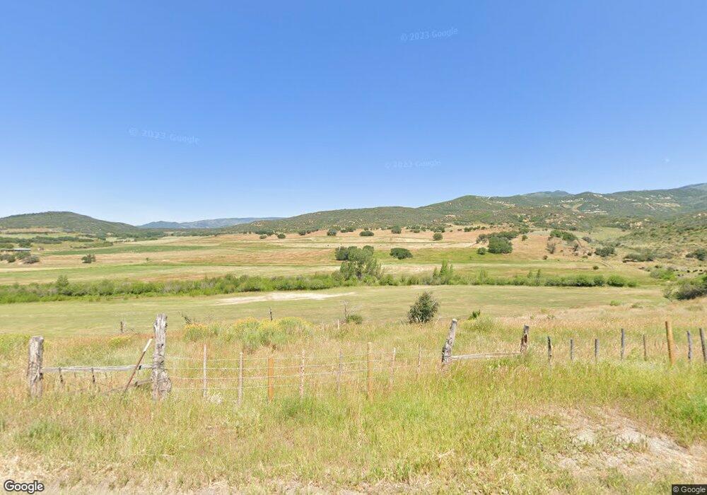
66320 Highway 330 E Collbran, CO 81624
Estimated Value: $399,000 - $638,582
3
Beds
1
Bath
2,100
Sq Ft
$243/Sq Ft
Est. Value
About This Home
This home is located at 66320 Highway 330 E, Collbran, CO 81624 and is currently estimated at $510,146, approximately $242 per square foot. 66320 Highway 330 E is a home located in Mesa County with nearby schools including Plateau Valley Elementary School, Plateau Valley Middle School, and Plateau Valley High School.
Ownership History
Date
Name
Owned For
Owner Type
Purchase Details
Closed on
Jul 22, 2019
Sold by
Board Of County Commissioners
Bought by
Gipp George H and Gipp Joann
Current Estimated Value
Purchase Details
Closed on
Sep 23, 2008
Sold by
Gipp George H and Gipp Joann
Bought by
George H Gipp & Joann Gipp Living Trust
Purchase Details
Closed on
Jul 15, 2003
Sold by
Gipp George H and Gipp Joann
Bought by
Cosniac Anneliese
Home Financials for this Owner
Home Financials are based on the most recent Mortgage that was taken out on this home.
Original Mortgage
$150,000
Interest Rate
5.24%
Mortgage Type
Unknown
Purchase Details
Closed on
Sep 9, 2002
Sold by
Gipp George H and Gipp Joann
Bought by
Cosniac Anneliese
Purchase Details
Closed on
Sep 17, 1914
Sold by
United States Of America
Bought by
Gipp Joann
Create a Home Valuation Report for This Property
The Home Valuation Report is an in-depth analysis detailing your home's value as well as a comparison with similar homes in the area
Home Values in the Area
Average Home Value in this Area
Purchase History
| Date | Buyer | Sale Price | Title Company |
|---|---|---|---|
| Gipp George H | -- | None Available | |
| George H Gipp & Joann Gipp Living Trust | -- | None Available | |
| Cosniac Anneliese | $97,750 | First American Heritage Titl | |
| Cosniac Anneliese | $95,000 | First American Heritage Titl | |
| Gipp Joann | -- | -- |
Source: Public Records
Mortgage History
| Date | Status | Borrower | Loan Amount |
|---|---|---|---|
| Previous Owner | Cosniac Anneliese | $150,000 |
Source: Public Records
Tax History Compared to Growth
Tax History
| Year | Tax Paid | Tax Assessment Tax Assessment Total Assessment is a certain percentage of the fair market value that is determined by local assessors to be the total taxable value of land and additions on the property. | Land | Improvement |
|---|---|---|---|---|
| 2024 | $2,613 | $51,020 | $20,980 | $30,040 |
| 2023 | $2,613 | $51,020 | $20,980 | $30,040 |
| 2022 | $2,061 | $54,670 | $18,610 | $36,060 |
| 2021 | $2,427 | $58,870 | $20,430 | $38,440 |
| 2020 | $2,316 | $58,470 | $17,510 | $40,960 |
| 2019 | $2,052 | $58,470 | $17,510 | $40,960 |
| 2018 | $2,683 | $61,870 | $16,850 | $45,020 |
| 2017 | $2,490 | $61,870 | $16,850 | $45,020 |
| 2016 | $2,490 | $59,930 | $14,380 | $45,550 |
| 2015 | $2,391 | $59,930 | $14,380 | $45,550 |
| 2014 | $2,426 | $59,130 | $13,340 | $45,790 |
Source: Public Records
Map
Nearby Homes
- 62495 Highway 330 E
- TBD Overlook Dr
- TBD V Rd
- TBD E Highway 330
- 6645 64 6 10 Rd
- 18842 Kimball Creek Rd
- 18842 58 6 10 Rd
- 14495 Scott Loop Unit 23
- 14495 Scott Loop
- 19106 Kimball Creek Rd
- 900 Thistle Ct
- 14600 N Ouray Ct
- 58892 Highway 330 E
- 14250 S Ouray Ct
- 528 Oakbrush Cir
- 506 Glenarm Ave
- TBD E 330 Hwy
- 58590 Pe 3 10 Rd