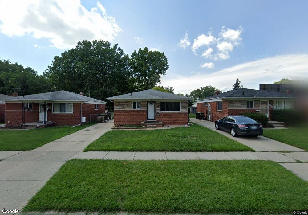
6634 Mcguire St Taylor, MI 48180
Estimated Value: $142,000 - $162,000
--
Bed
--
Bath
945
Sq Ft
$160/Sq Ft
Est. Value
About This Home
This home is located at 6634 Mcguire St, Taylor, MI 48180 and is currently estimated at $150,745, approximately $159 per square foot. 6634 Mcguire St is a home located in Wayne County with nearby schools including Clarence Randall Elementary School, Hoover Middle School, and Taylor High School.
Ownership History
Date
Name
Owned For
Owner Type
Purchase Details
Closed on
Jan 9, 2025
Sold by
Dye William C
Bought by
William Cleveland Dye Revocable Trust
Current Estimated Value
Purchase Details
Closed on
Oct 20, 2003
Sold by
Nelson Patricia A and Hamilton Shirley A
Bought by
Dye William C
Purchase Details
Closed on
Feb 12, 2001
Sold by
Tucker Loureen J
Bought by
Hamilton Shirley A
Purchase Details
Closed on
Sep 25, 1996
Sold by
Phail David B and Phail Wanda
Bought by
Hamilton Shirley A and Hamilton Earl
Create a Home Valuation Report for This Property
The Home Valuation Report is an in-depth analysis detailing your home's value as well as a comparison with similar homes in the area
Home Values in the Area
Average Home Value in this Area
Purchase History
| Date | Buyer | Sale Price | Title Company |
|---|---|---|---|
| William Cleveland Dye Revocable Trust | -- | None Listed On Document | |
| William Cleveland Dye Revocable Trust | -- | None Listed On Document | |
| Dye William C | $75,000 | Michigan Title Insurance Age | |
| Hamilton Shirley A | $25,000 | -- | |
| Hamilton Shirley A | $23,900 | -- |
Source: Public Records
Tax History Compared to Growth
Tax History
| Year | Tax Paid | Tax Assessment Tax Assessment Total Assessment is a certain percentage of the fair market value that is determined by local assessors to be the total taxable value of land and additions on the property. | Land | Improvement |
|---|---|---|---|---|
| 2025 | $2,767 | $89,500 | $0 | $0 |
| 2024 | $2,767 | $83,300 | $0 | $0 |
| 2023 | $3,102 | $72,200 | $0 | $0 |
| 2022 | $2,602 | $69,300 | $0 | $0 |
| 2021 | $2,772 | $59,500 | $0 | $0 |
| 2020 | $2,741 | $52,300 | $0 | $0 |
| 2019 | $217,755 | $37,900 | $0 | $0 |
| 2018 | $1,822 | $31,700 | $0 | $0 |
| 2017 | $694 | $31,600 | $0 | $0 |
| 2016 | $2,108 | $30,600 | $0 | $0 |
| 2015 | $2,890 | $28,900 | $0 | $0 |
| 2013 | $2,970 | $30,300 | $0 | $0 |
| 2012 | $1,994 | $30,200 | $7,500 | $22,700 |
Source: Public Records
Map
Nearby Homes
- 6810 Oldham St
- 26215 Beverly Rd
- 6962 Beech Daly Rd
- 6363 Mcguire St
- 6338 Marvin St
- 0000 Ecorse Rd
- 6179 Fellrath St
- 6303 Duncan St
- 26009 1st St Unit RA005
- 26111 1st St Unit RA020
- 6348 Dean St
- 7306 Chesterfield St Unit RA254
- 7312 Chesterfield St Unit 257
- 7316 Chesterfield St Unit RA259
- 26112 3rd St Unit 102
- 26116 3rd St Unit RA104
- 6370 Hampden St
- 26023 3rd St Unit RA120
- 26118 4th St Unit RA159
- 26127 3rd St Unit RA134
- 6624 Mcguire St
- 6644 Mcguire St
- 6616 Mcguire St
- 6654 Mcguire St Unit Bldg-Unit
- 6654 Mcguire St
- 6610 Mcguire St
- 6662 Mcguire St
- 6670 Mcguire St
- 6635 Mcguire St
- 6625 Mcguire St
- 6615 Mcguire St
- 6680 Mcguire St
- 6655 Mcguire St
- 6690 Mcguire St
- 6671 Mcguire St
- 6706 Mcguire St
- 6597 Mcguire St
- 6691 Mcguire St
- 6670 Beech Daly Rd
- 6707 Marvin St