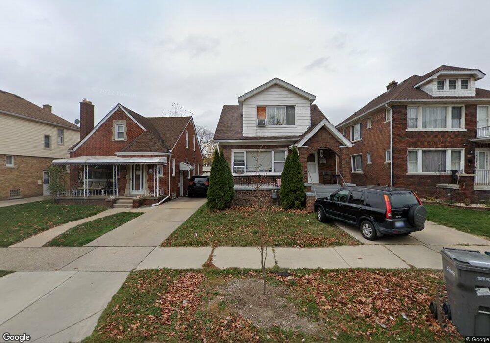
6635 Bingham St Unit Bldg-Unit Dearborn, MI 48126
Hemlock Park NeighborhoodEstimated Value: $219,000 - $338,000
3
Beds
3
Baths
1,680
Sq Ft
$171/Sq Ft
Est. Value
About This Home
This home is located at 6635 Bingham St Unit Bldg-Unit, Dearborn, MI 48126 and is currently estimated at $287,540, approximately $171 per square foot. 6635 Bingham St Unit Bldg-Unit is a home located in Wayne County with nearby schools including Lowrey School, Lowrey Middle School, and Fordson High School.
Ownership History
Date
Name
Owned For
Owner Type
Purchase Details
Closed on
Mar 29, 2018
Sold by
Thejamai Rahal Revocalble Living Trust
Bought by
Almusab Nasr
Current Estimated Value
Purchase Details
Closed on
Oct 1, 2008
Sold by
Rahal Abdul Karim and Rahal Jamal
Bought by
Rahal Jamal
Purchase Details
Closed on
Oct 19, 2006
Sold by
Wojtowicz Raymond J
Bought by
Harn Wen Ren
Purchase Details
Closed on
Apr 3, 2001
Sold by
Zahr Ahmad N
Bought by
Zahar Mohamad
Create a Home Valuation Report for This Property
The Home Valuation Report is an in-depth analysis detailing your home's value as well as a comparison with similar homes in the area
Home Values in the Area
Average Home Value in this Area
Purchase History
| Date | Buyer | Sale Price | Title Company |
|---|---|---|---|
| Almusab Nasr | $117,500 | None Available | |
| Rahal Jamal | -- | None Available | |
| Harn Wen Ren | $53,000 | None Available | |
| Zahar Mohamad | -- | -- |
Source: Public Records
Tax History
| Year | Tax Paid | Tax Assessment Tax Assessment Total Assessment is a certain percentage of the fair market value that is determined by local assessors to be the total taxable value of land and additions on the property. | Land | Improvement |
|---|---|---|---|---|
| 2025 | $4,598 | $122,200 | $0 | $0 |
| 2024 | $4,628 | $120,700 | $0 | $0 |
| 2023 | $4,116 | $79,200 | $0 | $0 |
| 2022 | $4,739 | $79,400 | $0 | $0 |
| 2021 | $4,856 | $72,000 | $0 | $0 |
| 2019 | $4,789 | $63,800 | $0 | $0 |
| 2018 | $2,991 | $59,300 | $0 | $0 |
| 2017 | $704 | $52,400 | $0 | $0 |
| 2016 | $2,830 | $53,300 | $0 | $0 |
| 2015 | $4,341 | $47,650 | $0 | $0 |
| 2013 | $4,205 | $42,050 | $0 | $0 |
| 2011 | -- | $46,200 | $0 | $0 |
Source: Public Records
Map
Nearby Homes
- 6657 Calhoun St
- 6413 Calhoun St
- 6019 Maple St
- 6131 Appoline St
- 7241 Middlesex St
- 7247 Middlesex St
- 5861 Bingham St
- 6417 Kendal St
- 6244 Kendal St
- 7517 Horger St
- 7113 Kendal St
- 7449 Williamson St
- 7857 Esper Blvd
- 5845 Miller Rd
- 7750 Morross Ct
- 7444 Kendal St
- 7758 Reuter St
- 5637 Horger St
- 7813 Neckel St
- 7308 Orchard Ave
- 6635 Bingham St
- 6631 Bingham St
- 6641 Bingham St
- 6623 Bingham St
- 6653 Bingham St
- 6617 Bingham St
- 6661 Bingham St
- 6636 Calhoun St
- 6609 Bingham St
- 6630 Calhoun St
- 6642 Calhoun St
- 6620 Calhoun St
- 6652 Calhoun St
- 6614 Calhoun St
- 6601 Bingham St
- 6660 Calhoun St
- 6801 Bingham St
- 6604 Calhoun St
- 6555 Bingham St
- 6600 Calhoun St
Your Personal Tour Guide
Ask me questions while you tour the home.