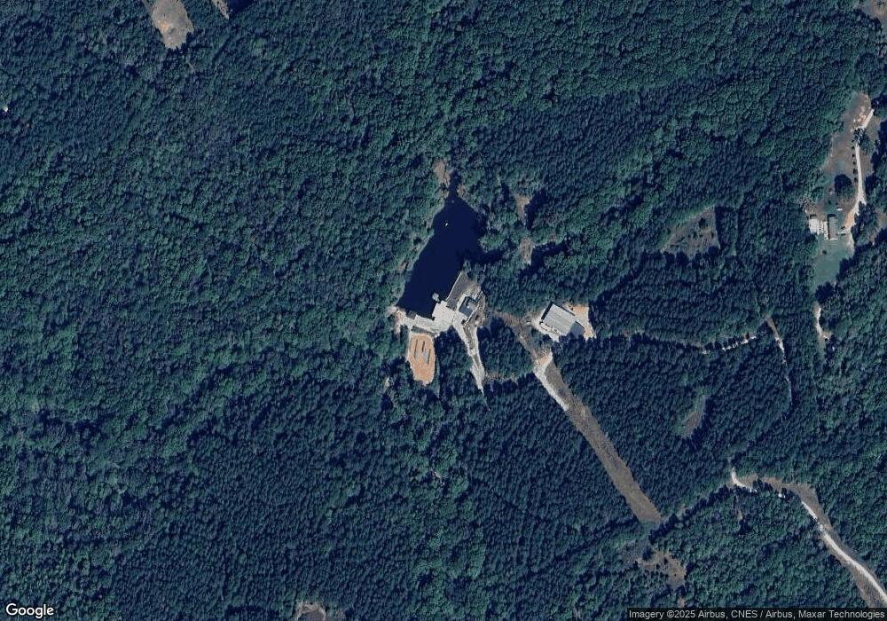
6635 Highway 72 E Carlton, GA 30627
Estimated Value: $282,000 - $1,248,957
--
Bed
1
Bath
1,834
Sq Ft
$417/Sq Ft
Est. Value
About This Home
This home is located at 6635 Highway 72 E, Carlton, GA 30627 and is currently estimated at $765,479, approximately $417 per square foot. 6635 Highway 72 E is a home with nearby schools including Madison County High School.
Ownership History
Date
Name
Owned For
Owner Type
Purchase Details
Closed on
Jul 24, 2007
Sold by
Pilgrim John W
Bought by
Deloach W Michael and Deloach Janet C
Current Estimated Value
Home Financials for this Owner
Home Financials are based on the most recent Mortgage that was taken out on this home.
Original Mortgage
$511,152
Interest Rate
6.63%
Mortgage Type
New Conventional
Purchase Details
Closed on
Nov 17, 2006
Sold by
Pilgrim Zhuohui Yang
Bought by
Pilgrim John W
Purchase Details
Closed on
Nov 11, 2005
Sold by
Wilson Wesley M
Bought by
Pilgrim John W and Pilgrim Zhuohui Yang
Purchase Details
Closed on
Nov 7, 2002
Sold by
Bethune William A
Bought by
Wilson Wesley M
Purchase Details
Closed on
Oct 24, 2002
Sold by
East West Timberland
Bought by
Bethune William A
Purchase Details
Closed on
Sep 24, 2001
Sold by
Inland Paperboard
Bought by
East West Timberland
Purchase Details
Closed on
Jan 1, 1985
Bought by
Georgia Kraft Co
Create a Home Valuation Report for This Property
The Home Valuation Report is an in-depth analysis detailing your home's value as well as a comparison with similar homes in the area
Home Values in the Area
Average Home Value in this Area
Purchase History
| Date | Buyer | Sale Price | Title Company |
|---|---|---|---|
| Deloach W Michael | $512,500 | -- | |
| Pilgrim John W | -- | -- | |
| Pilgrim John W | $507,224 | -- | |
| Wilson Wesley M | $159,200 | -- | |
| Bethune William A | $112,400 | -- | |
| East West Timberland | $4,033,600 | -- | |
| Georgia Kraft Co | -- | -- |
Source: Public Records
Mortgage History
| Date | Status | Borrower | Loan Amount |
|---|---|---|---|
| Closed | Deloach W Michael | $511,152 |
Source: Public Records
Tax History Compared to Growth
Tax History
| Year | Tax Paid | Tax Assessment Tax Assessment Total Assessment is a certain percentage of the fair market value that is determined by local assessors to be the total taxable value of land and additions on the property. | Land | Improvement |
|---|---|---|---|---|
| 2025 | $7,796 | $425,623 | $146,042 | $279,581 |
| 2024 | $7,699 | $388,919 | $117,962 | $270,957 |
| 2023 | $10,470 | $342,983 | $117,962 | $225,021 |
| 2022 | $3,582 | $203,724 | $94,269 | $109,455 |
| 2021 | $3,802 | $162,252 | $74,468 | $87,784 |
| 2020 | $3,777 | $157,333 | $69,549 | $87,784 |
| 2019 | $3,749 | $155,857 | $69,549 | $86,308 |
| 2018 | $2,660 | $121,577 | $69,549 | $52,028 |
| 2017 | $3,498 | $121,489 | $68,853 | $52,636 |
| 2016 | $2,224 | $114,916 | $68,853 | $46,063 |
| 2015 | $2,199 | $114,916 | $68,853 | $46,063 |
| 2014 | -- | $114,801 | $68,853 | $45,948 |
| 2013 | -- | $114,801 | $68,853 | $45,948 |
Source: Public Records
Map
Nearby Homes
- 6476 Georgia 72
- 6367 Highway 72 E
- 667 Paoli Rd
- 376 Paoli Rd
- 670 S Railroad Ave
- 724 Bertha Willis Rd
- 0 Broad River Rd Unit 10650042
- 00 River Rd
- 88 S Railroad Ave
- 0 Berkley Rd Unit 10545423
- 0 River Rd Unit 10639917
- 3614 Georgia 72
- 730 Osley Mill Rd
- 1163 Nickville Rd
- 600 Piney Grove Rd
- 474 Watson Mill
- 490 Watson Mill
- 5 Watson Mill
- 4 Watson Mill
- 6 Watson Mill
- 181 Paoli Rd
- 6433 Highway 72 E
- 6433 Hwy 72e
- 6479 Hwy 72e
- 6479 Highway 72 E
- 6479 Georgia 72
- 6815 Highway 72 E
- 175 Paoli Rd
- 0000 Highway 72 Hwy E
- 6399 Highway 72 E
- 6801 Highway 72 E
- 0004 Katie Ln
- 0003 Katie Ln
- 0002 Katie Ln
- 0001 Katie Ln
- 2.69 ac Katie Ln
- 2.06 ac Katie Ln
- 2.54 ac Katie Ln
- 2.00 ac Katie Ln
- 6454 Highway 72 E
