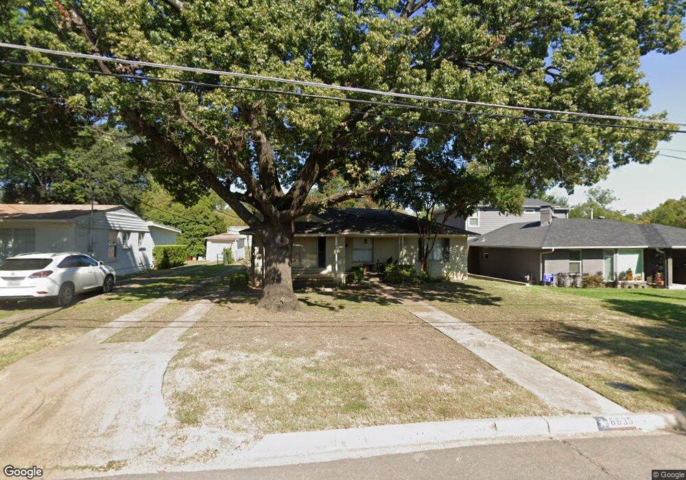
6635 Patrick Dr Dallas, TX 75214
Northeast Dallas NeighborhoodEstimated Value: $589,826 - $804,000
3
Beds
2
Baths
1,668
Sq Ft
$416/Sq Ft
Est. Value
About This Home
This home is located at 6635 Patrick Dr, Dallas, TX 75214 and is currently estimated at $694,457, approximately $416 per square foot. 6635 Patrick Dr is a home located in Dallas County with nearby schools including Lakewood Elementary School, J L Long Middle School, and Woodrow Wilson High School.
Ownership History
Date
Name
Owned For
Owner Type
Purchase Details
Closed on
Oct 6, 2006
Sold by
Winborn Craig V and Winborn Donna K
Bought by
Menchaca Robert and Menchaca Laura
Current Estimated Value
Home Financials for this Owner
Home Financials are based on the most recent Mortgage that was taken out on this home.
Original Mortgage
$229,600
Outstanding Balance
$136,855
Interest Rate
6.44%
Mortgage Type
Purchase Money Mortgage
Estimated Equity
$557,602
Purchase Details
Closed on
Sep 16, 2003
Sold by
Lopez Abel Y
Bought by
Winborn Craig and Winborn Donna K
Home Financials for this Owner
Home Financials are based on the most recent Mortgage that was taken out on this home.
Original Mortgage
$117,160
Interest Rate
5.87%
Mortgage Type
Purchase Money Mortgage
Create a Home Valuation Report for This Property
The Home Valuation Report is an in-depth analysis detailing your home's value as well as a comparison with similar homes in the area
Home Values in the Area
Average Home Value in this Area
Purchase History
| Date | Buyer | Sale Price | Title Company |
|---|---|---|---|
| Menchaca Robert | -- | Atc | |
| Winborn Craig | -- | -- |
Source: Public Records
Mortgage History
| Date | Status | Borrower | Loan Amount |
|---|---|---|---|
| Open | Menchaca Robert | $229,600 | |
| Previous Owner | Winborn Craig | $117,160 |
Source: Public Records
Tax History
| Year | Tax Paid | Tax Assessment Tax Assessment Total Assessment is a certain percentage of the fair market value that is determined by local assessors to be the total taxable value of land and additions on the property. | Land | Improvement |
|---|---|---|---|---|
| 2025 | $7,734 | $590,070 | $324,570 | $265,500 |
| 2024 | $7,734 | $525,510 | $240,000 | $285,510 |
| 2023 | $7,734 | $454,650 | $240,000 | $214,650 |
| 2022 | $11,368 | $454,650 | $240,000 | $214,650 |
| 2021 | $9,166 | $347,480 | $160,000 | $187,480 |
| 2020 | $9,427 | $347,480 | $160,000 | $187,480 |
| 2019 | $9,246 | $324,960 | $160,000 | $164,960 |
| 2018 | $8,836 | $324,960 | $160,000 | $164,960 |
| 2017 | $6,873 | $252,760 | $160,000 | $92,760 |
| 2016 | $6,873 | $252,760 | $160,000 | $92,760 |
| 2015 | $5,476 | $251,040 | $90,000 | $161,040 |
| 2014 | $5,476 | $244,050 | $90,000 | $154,050 |
Source: Public Records
Map
Nearby Homes
- 6611 Blessing Dr
- 6609 Patrick Dr
- 6802 Vada Dr
- 6737 Ravendale Ln
- 6811 Patrick Dr
- 6644 Santa Anita Dr
- 6729 Ravendale Ln
- 6725 Braeburn Dr
- 6709 Belford Dr
- 6984 Santa Barbara Dr
- 6923 Inverness Ln
- 5024 Rexton Ln
- 6475 Trammel Dr
- 6719 Santa Anita Dr
- 6471 Trammel Dr
- 6718 Hialeah Dr
- 6615 Ridgemont Dr
- 6459 Trammel Dr
- 6954 Santa Maria Ln
- 7119 Westbrook Ln
- 6631 Patrick Dr
- 6641 Patrick Dr
- 6705 Patrick Dr
- 6625 Patrick Dr
- 6604 Blessing Dr
- 6707 Patrick Dr
- 6619 Patrick Dr
- 4632 Surf Dr
- 6615 Patrick Dr
- 6607 Blessing Dr
- 6715 Patrick Dr
- 6610 Blessing Dr
- 6624 Blessing Cir
- 4628 Surf Dr
- 6719 Patrick Dr
- 4624 Surf Dr
- 6605 Patrick Dr
- 6628 Blessing Cir
- 6718 Patrick Dr
- 4631 Surf Dr
Your Personal Tour Guide
Ask me questions while you tour the home.