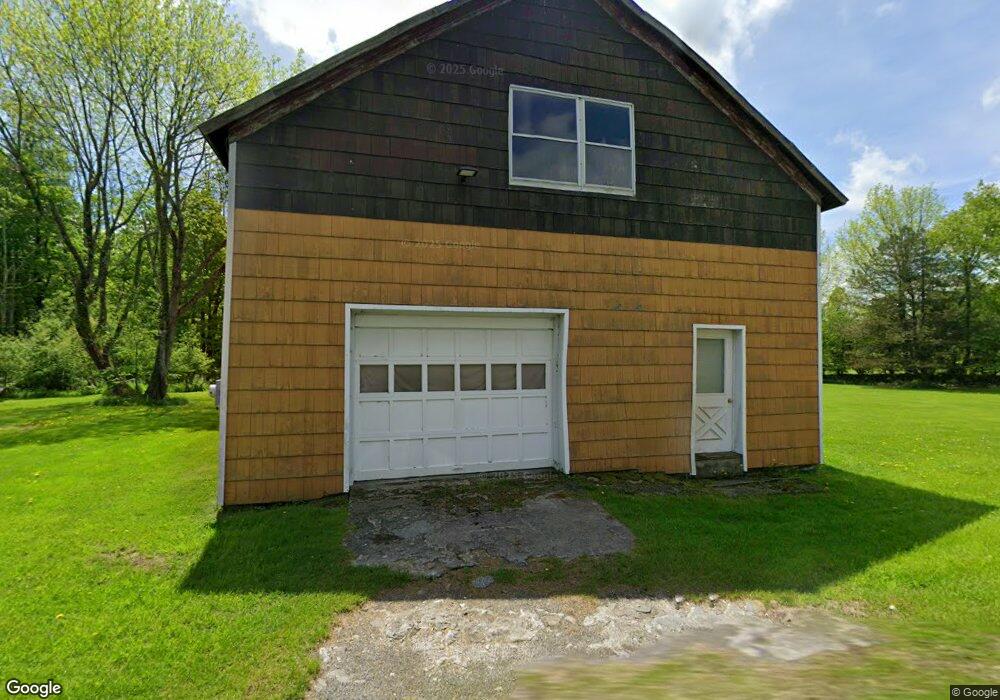
6635 State Route 2012 Clifford, PA 18413
Estimated Value: $255,575 - $399,000
--
Bed
--
Bath
--
Sq Ft
1.94
Acres
About This Home
This home is located at 6635 State Route 2012, Clifford, PA 18413 and is currently estimated at $327,288. 6635 State Route 2012 is a home with nearby schools including Mountain View Elementary School and Mountain View Junior/Senior High School.
Ownership History
Date
Name
Owned For
Owner Type
Purchase Details
Closed on
Aug 27, 2012
Sold by
Portz Jennifer and Sutton Nee
Bought by
Portz Erich
Current Estimated Value
Purchase Details
Closed on
Nov 16, 2009
Sold by
Nolan Duane S and Nolan Laurie L
Bought by
Portz Erich and Sutton Jennifer
Home Financials for this Owner
Home Financials are based on the most recent Mortgage that was taken out on this home.
Original Mortgage
$80,000
Outstanding Balance
$51,862
Interest Rate
4.86%
Mortgage Type
New Conventional
Estimated Equity
$275,426
Create a Home Valuation Report for This Property
The Home Valuation Report is an in-depth analysis detailing your home's value as well as a comparison with similar homes in the area
Home Values in the Area
Average Home Value in this Area
Purchase History
| Date | Buyer | Sale Price | Title Company |
|---|---|---|---|
| Portz Erich | -- | None Available | |
| Portz Erich | $136,000 | None Available |
Source: Public Records
Mortgage History
| Date | Status | Borrower | Loan Amount |
|---|---|---|---|
| Open | Portz Erich | $80,000 |
Source: Public Records
Tax History Compared to Growth
Tax History
| Year | Tax Paid | Tax Assessment Tax Assessment Total Assessment is a certain percentage of the fair market value that is determined by local assessors to be the total taxable value of land and additions on the property. | Land | Improvement |
|---|---|---|---|---|
| 2025 | $2,003 | $30,800 | $6,200 | $24,600 |
| 2024 | $1,950 | $30,800 | $6,200 | $24,600 |
| 2023 | $1,820 | $30,800 | $6,200 | $24,600 |
| 2022 | $1,810 | $30,800 | $6,200 | $24,600 |
| 2021 | $1,780 | $30,800 | $6,200 | $24,600 |
| 2020 | $1,711 | $30,800 | $6,200 | $24,600 |
| 2019 | $1,711 | $30,800 | $6,200 | $24,600 |
| 2018 | $1,676 | $30,800 | $6,200 | $24,600 |
| 2017 | $30,800 | $30,800 | $6,200 | $24,600 |
| 2016 | $1,564 | $30,800 | $6,200 | $24,600 |
| 2015 | $323 | $30,800 | $0 | $0 |
| 2014 | $323 | $30,800 | $0 | $0 |
Source: Public Records
Map
Nearby Homes
- 2416 State Route 2012
- 3533 State Route 2012
- 520 State Route 2010
- 801 Elkview Dr
- 660 Wildenberg Rd
- 196 Elkview Dr
- 600 Paye Hill Rd
- 53 Elkview Dr Unit 985
- 0 White Rock Dr Unit PWBPW252170
- 1177 N Main St
- 3533 Route 2012
- 109 North St
- 435 Lackawanna St
- 605 Hudson St
- 0 Corner of North St & Railroad St Unit GSBSC253787
- 343 Crystal Lake
- 406 Susquehanna St
- 1010 Crystal Lake Blvd
- 412 Main St
- 0 Pennsylvania 247
- 6740 State Route 2012
- 6733 State Route 2012
- 3630 State Route 2023
- 3277 State Route 2023
- 3502 State Route 2023
- 3407 State Route 2023
- 3472 State Route 2023
- 3945 State Route 2023
- 3346 State Route 2023
- 4031 State Route 2023
- 3007 State Route 2023
- 4035 State Route 2023
- 4125 State Route 2023
- 3256 State Route 2023
- 5855 State Route 2012
- 2939 State Route 2023
- 4167 State Route 2023
- 1375 Tinker Brook Rd
- 101 State Route 2010
- 19 Cottrell Rd