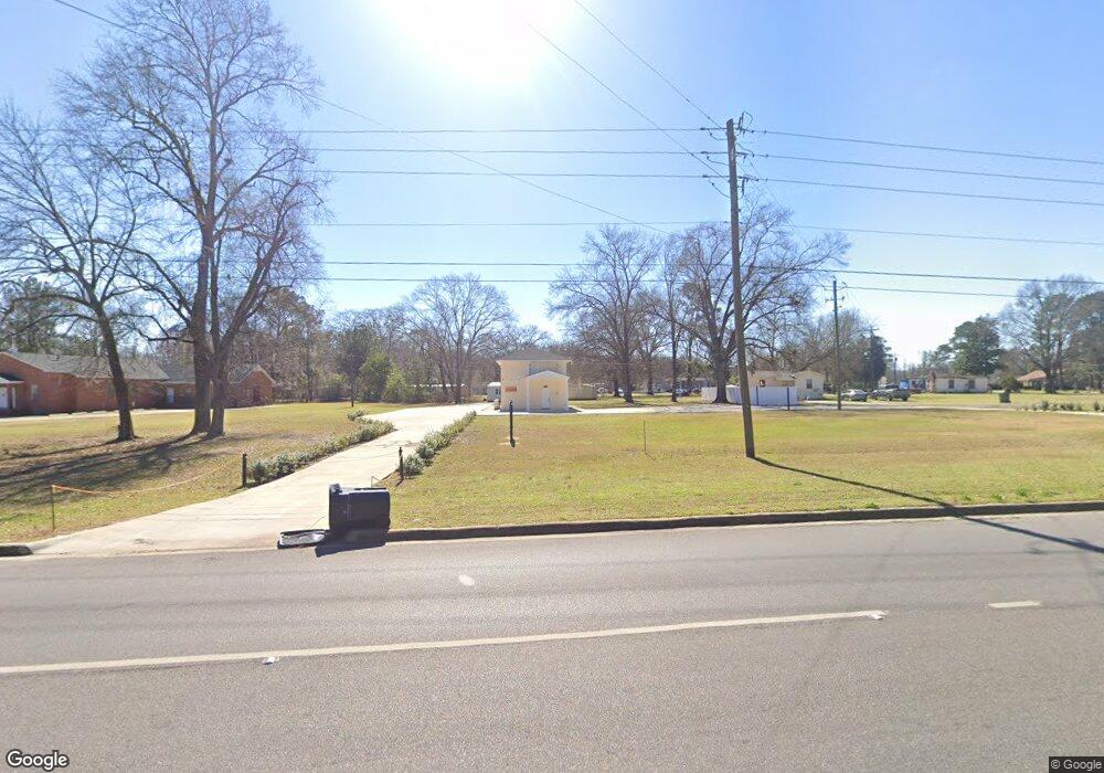
6636 Wares Ferry Rd Montgomery, AL 36117
East Montgomery NeighborhoodEstimated Value: $73,488 - $174,000
--
Bed
--
Bath
1,470
Sq Ft
$74/Sq Ft
Est. Value
About This Home
This home is located at 6636 Wares Ferry Rd, Montgomery, AL 36117 and is currently estimated at $108,829, approximately $74 per square foot. 6636 Wares Ferry Rd is a home with nearby schools including William Silas Garrett Elementary School, Goodwyn Middle School, and Dr. Percy L. Julian High School.
Ownership History
Date
Name
Owned For
Owner Type
Purchase Details
Closed on
Apr 7, 2021
Sold by
Davis Catherine Z and Tanner Eddy Kaye
Bought by
Ministries Christ
Current Estimated Value
Home Financials for this Owner
Home Financials are based on the most recent Mortgage that was taken out on this home.
Original Mortgage
$14,000
Interest Rate
2.9%
Mortgage Type
New Conventional
Purchase Details
Closed on
Aug 8, 2008
Sold by
Ezell Richetta
Bought by
Rpe Llc
Create a Home Valuation Report for This Property
The Home Valuation Report is an in-depth analysis detailing your home's value as well as a comparison with similar homes in the area
Home Values in the Area
Average Home Value in this Area
Purchase History
| Date | Buyer | Sale Price | Title Company |
|---|---|---|---|
| Ministries Christ | $54,000 | None Available | |
| Rpe Llc | -- | None Available |
Source: Public Records
Mortgage History
| Date | Status | Borrower | Loan Amount |
|---|---|---|---|
| Closed | Ministries Christ | $14,000 |
Source: Public Records
Tax History Compared to Growth
Tax History
| Year | Tax Paid | Tax Assessment Tax Assessment Total Assessment is a certain percentage of the fair market value that is determined by local assessors to be the total taxable value of land and additions on the property. | Land | Improvement |
|---|---|---|---|---|
| 2025 | $252 | $5,040 | $1,960 | $3,080 |
| 2024 | $252 | $5,040 | $1,960 | $3,080 |
| 2023 | $252 | $5,400 | $2,180 | $3,220 |
| 2022 | $189 | $5,180 | $2,080 | $3,100 |
| 2021 | $158 | $4,320 | $2,400 | $1,920 |
| 2020 | $158 | $4,320 | $2,400 | $1,920 |
| 2019 | $158 | $4,320 | $2,400 | $1,920 |
| 2018 | $158 | $4,320 | $0 | $0 |
| 2017 | $197 | $5,400 | $3,600 | $1,800 |
| 2014 | -- | $8,340 | $4,000 | $4,340 |
| 2013 | -- | $7,580 | $4,000 | $3,580 |
Source: Public Records
Map
Nearby Homes
- 970 Countryside Ln
- 6901 Eastern Shore Rd
- 6500 Sweet Gum Dr
- 1308 Dunbarton Rd
- 6520 Pinebrook Dr
- 6966 Oak Side Dr
- 6427 Pinebrook Dr
- 6241 Wares Ferry Rd
- 6429 Sandy Ridge Curve
- 6408 Pinebrook Dr
- 5805 Acacia Ct
- 6201 Dalford Dr
- 740 Havelock Ln
- 925 Brookland Curve
- 5821 Hyde Park Dr
- 6812 Overview Ct
- 767 N Burbank Dr
- 6119 Hinchcliff Rd
- 6120 Hinchcliff Rd
- 6316 Pinebrook Dr
- 6624 Wares Ferry Rd
- 6637 Dowell Ln
- 1012 Charlie Brassell Place
- 6532 Morning Glory Ct
- 901 Countryside Ln
- 6645 Dowell Ln
- 6528 Morning Glory Ct
- 0 Dowell Ln
- 6649 Dowell Ln
- 6524 Morning Glory Ct
- 6520 Morning Glory Ct
- 900 Countryside Ln
- 6636 Dowell Ln
- 6624 Dowell Ln
- 6516 Morning Glory Ct
- 904 Countryside Ln
- 6512 Morning Glory Ct
- 6606 Dowell Ln
- 907 Countryside Ln
- 6648 Dowell Ln