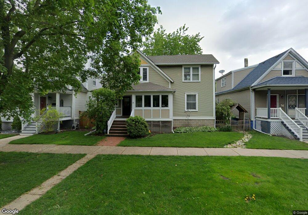
6637 31st St Berwyn, IL 60402
Estimated Value: $352,000 - $507,000
4
Beds
3
Baths
2,378
Sq Ft
$182/Sq Ft
Est. Value
About This Home
This home is located at 6637 31st St, Berwyn, IL 60402 and is currently estimated at $432,578, approximately $181 per square foot. 6637 31st St is a home located in Cook County with nearby schools including Emerson Elementary School, Heritage Middle School, and J. Sterling Morton High School West.
Ownership History
Date
Name
Owned For
Owner Type
Purchase Details
Closed on
Jul 12, 2021
Sold by
Mccarthy Michael P and Mccarthy Virginia E
Bought by
Jones Zachary and Jones Kimberly
Current Estimated Value
Purchase Details
Closed on
Oct 24, 2015
Sold by
Krejci Michael W and Krejci Kathleen T
Bought by
Mccarthy Michael and Mccarthy Virginia
Home Financials for this Owner
Home Financials are based on the most recent Mortgage that was taken out on this home.
Original Mortgage
$245,600
Interest Rate
4%
Mortgage Type
New Conventional
Create a Home Valuation Report for This Property
The Home Valuation Report is an in-depth analysis detailing your home's value as well as a comparison with similar homes in the area
Home Values in the Area
Average Home Value in this Area
Purchase History
| Date | Buyer | Sale Price | Title Company |
|---|---|---|---|
| Jones Zachary | $520,000 | None Available | |
| Mccarthy Michael | $307,000 | Git |
Source: Public Records
Mortgage History
| Date | Status | Borrower | Loan Amount |
|---|---|---|---|
| Previous Owner | Mccarthy Michael | $245,600 |
Source: Public Records
Tax History Compared to Growth
Tax History
| Year | Tax Paid | Tax Assessment Tax Assessment Total Assessment is a certain percentage of the fair market value that is determined by local assessors to be the total taxable value of land and additions on the property. | Land | Improvement |
|---|---|---|---|---|
| 2024 | $4,948 | $15,500 | $3,828 | $11,672 |
| 2023 | $5,565 | $15,500 | $3,828 | $11,672 |
| 2022 | $5,565 | $13,958 | $3,359 | $10,599 |
| 2021 | $5,419 | $13,957 | $3,359 | $10,598 |
| 2020 | $5,169 | $13,957 | $3,359 | $10,598 |
| 2019 | $4,941 | $12,677 | $3,046 | $9,631 |
| 2018 | $4,649 | $12,677 | $3,046 | $9,631 |
| 2017 | $5,609 | $14,607 | $3,046 | $11,561 |
| 2016 | $3,786 | $9,978 | $2,500 | $7,478 |
| 2015 | $3,684 | $9,978 | $2,500 | $7,478 |
| 2014 | $3,912 | $10,827 | $2,500 | $8,327 |
| 2013 | $3,893 | $11,994 | $2,500 | $9,494 |
Source: Public Records
Map
Nearby Homes
- 3027 Clarence Ave
- 3019 Wesley Ave
- 3024 East Ave
- 3003 Wesley Ave
- 3002 Wesley Ave
- 3031 Oak Park Ave
- 3121 Scoville Ave Unit 6
- 6810 31st St
- 3124 Oak Park Ave
- 3218 Scoville Ave
- 3240 East Ave
- 3140 Grove Ave
- 2733 Wesley Ave
- 6828 29th Place
- 6840 29th Place
- 6453 28th St
- 2722 Euclid Ave
- 3142 Kenilworth Ave
- 2715 Oak Park Ave
- 3303 Grove Ave Unit 600