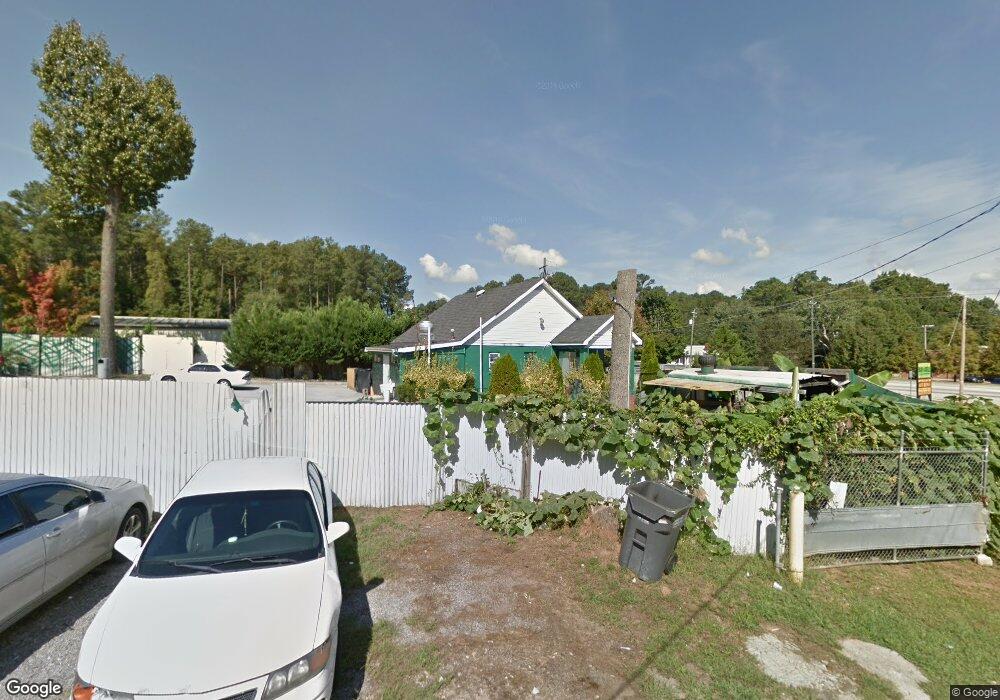
6637 Covington Hwy Lithonia, GA 30058
Estimated Value: $336,997
3
Beds
1
Bath
1,188
Sq Ft
$284/Sq Ft
Est. Value
About This Home
This home is located at 6637 Covington Hwy, Lithonia, GA 30058 and is currently estimated at $336,997, approximately $283 per square foot. 6637 Covington Hwy is a home located in DeKalb County with nearby schools including Panola Way Elementary School, Miller Grove Middle School, and Miller Grove High School.
Ownership History
Date
Name
Owned For
Owner Type
Purchase Details
Closed on
Mar 28, 2001
Sold by
Grizzle Elizabeth E
Bought by
Rattery Linval
Current Estimated Value
Home Financials for this Owner
Home Financials are based on the most recent Mortgage that was taken out on this home.
Original Mortgage
$105,450
Outstanding Balance
$38,656
Interest Rate
7.11%
Mortgage Type
Commercial
Estimated Equity
$298,341
Create a Home Valuation Report for This Property
The Home Valuation Report is an in-depth analysis detailing your home's value as well as a comparison with similar homes in the area
Home Values in the Area
Average Home Value in this Area
Purchase History
| Date | Buyer | Sale Price | Title Company |
|---|---|---|---|
| Rattery Linval | $150,000 | -- |
Source: Public Records
Mortgage History
| Date | Status | Borrower | Loan Amount |
|---|---|---|---|
| Open | Rattery Linval | $105,450 |
Source: Public Records
Tax History Compared to Growth
Tax History
| Year | Tax Paid | Tax Assessment Tax Assessment Total Assessment is a certain percentage of the fair market value that is determined by local assessors to be the total taxable value of land and additions on the property. | Land | Improvement |
|---|---|---|---|---|
| 2025 | $12,279 | $265,600 | $219,000 | $46,600 |
| 2024 | $10,093 | $220,120 | $208,560 | $11,560 |
| 2023 | $10,093 | $220,120 | $208,560 | $11,560 |
| 2022 | $9,987 | $220,120 | $208,560 | $11,560 |
| 2021 | $10,138 | $220,120 | $208,560 | $11,560 |
| 2020 | $10,040 | $220,120 | $208,560 | $11,560 |
| 2019 | $9,974 | $220,120 | $208,560 | $11,560 |
| 2018 | $10,062 | $220,120 | $208,560 | $11,560 |
| 2017 | $10,018 | $220,120 | $208,560 | $11,560 |
| 2016 | $10,040 | $220,120 | $208,560 | $11,560 |
| 2014 | $10,282 | $220,120 | $208,560 | $11,560 |
Source: Public Records
Map
Nearby Homes
- 2353 Haran Dr Unit 43
- 2343 Haran Dr Unit 47
- 2343 Haran Dr
- 2341 Haran Dr Unit 48
- 2341 Haran Dr
- 2339 Haran Dr Unit 49
- 2339 Haran Dr
- 2337 Haran Dr Unit 50
- 2337 Haran Dr
- 2335 Haran Dr
- 2335 Haran Dr Unit 51
- 2396 Hillvale Cir
- 2360 Haran Dr Unit 34
- 2284 Cypress Point Way
- 5867 Heritage Walk
- Pearson Plan at Wellington Park
- 2863 Hillvale Cove Dr
- 5876 Old Wellborn Trace
- 2218 Lowtrail Ct
- 2237 Wind Rose Ct
- 6638 Covington Hwy
- 6646 Covington Hwy
- 6630 Covington Hwy
- 2374 Raven Cir Unit 2
- 2368 Raven Cir
- 6620 Covington Hwy
- 2380 Raven Cir Unit 2
- 2362 Raven Cir Unit 2
- 2386 Raven Cir Unit 2
- 2356 Raven Cir
- 2392 Raven Cir Unit 2
- 2350 Raven Cir
- 2398 Raven Cir Unit 2
- 2344 Raven Trace Unit 2
- 2404 Raven Cir Unit 2
- 6611 Covington Hwy
- 2340 Raven Trace
- 2377 Raven Cir Unit 2
- 2365 Raven Cir
- 2379 Raven Cir