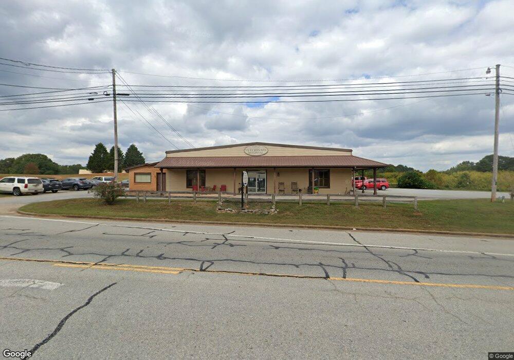
6637 Highway 115 Clarkesville, GA 30523
Estimated Value: $636,641
--
Bed
--
Bath
8,635
Sq Ft
$74/Sq Ft
Est. Value
About This Home
This home is located at 6637 Highway 115, Clarkesville, GA 30523 and is currently estimated at $636,641, approximately $73 per square foot. 6637 Highway 115 is a home located in Habersham County with nearby schools including Clarkesville Elementary School, North Habersham Middle School, and Habersham Success Academy.
Ownership History
Date
Name
Owned For
Owner Type
Purchase Details
Closed on
Mar 16, 2012
Sold by
Pence Carol K
Current Estimated Value
Home Financials for this Owner
Home Financials are based on the most recent Mortgage that was taken out on this home.
Original Mortgage
$403,728
Outstanding Balance
$277,597
Interest Rate
3.89%
Mortgage Type
New Conventional
Estimated Equity
$360,261
Purchase Details
Closed on
Apr 1, 2006
Sold by
Not Provided
Bought by
Pence Carol Kay
Create a Home Valuation Report for This Property
The Home Valuation Report is an in-depth analysis detailing your home's value as well as a comparison with similar homes in the area
Home Values in the Area
Average Home Value in this Area
Purchase History
| Date | Buyer | Sale Price | Title Company |
|---|---|---|---|
| -- | $170,000 | -- | |
| Pence Carol Kay | $75,000 | -- |
Source: Public Records
Mortgage History
| Date | Status | Borrower | Loan Amount |
|---|---|---|---|
| Open | -- | $403,728 |
Source: Public Records
Tax History Compared to Growth
Tax History
| Year | Tax Paid | Tax Assessment Tax Assessment Total Assessment is a certain percentage of the fair market value that is determined by local assessors to be the total taxable value of land and additions on the property. | Land | Improvement |
|---|---|---|---|---|
| 2025 | $10,199 | $272,706 | $16,652 | $256,054 |
| 2024 | $6,288 | $242,256 | $14,744 | $227,512 |
| 2023 | $5,868 | $234,720 | $11,340 | $223,380 |
| 2022 | $5,359 | $205,520 | $11,340 | $194,180 |
| 2021 | $5,035 | $193,980 | $11,340 | $182,640 |
| 2020 | $4,575 | $170,116 | $11,340 | $158,776 |
| 2019 | $4,580 | $170,116 | $11,340 | $158,776 |
| 2018 | $4,544 | $170,116 | $11,340 | $158,776 |
| 2017 | $4,118 | $153,356 | $11,340 | $142,016 |
| 2016 | $4,018 | $383,390 | $11,340 | $142,016 |
| 2015 | $3,971 | $385,280 | $12,096 | $142,016 |
| 2014 | $4,046 | $385,280 | $12,096 | $142,016 |
| 2013 | -- | $154,112 | $12,096 | $142,016 |
Source: Public Records
Map
Nearby Homes
- 551 W Water St
- 112 Woodland St
- 351 Shoals Ln
- 0 Highlands Lake Trail Unit LOT 30 10600443
- 0 Highlands Lake Trail Unit 7646133
- 325 Springwood Dr
- 449 E Water St
- 447 E Water St
- 451 E Water St
- 0 Ivy Ridge Way Unit LOT 40 10327774
- 0 Ivy Ridge Way Unit LOT 6 10487513
- 0 Ivy Ridge Way Unit LOT 50 10487398
- 555 Highway 197 N
- 206 Sycamore Way
- 111 Smith Ct
- 176 Llewellyn St
- 172 Llewellyn St
- 180 Llewellyn St
- 111 Leyland Hills
- 206 Shoals Way
- 6640 Highway 115
- 6640 Highway 115
- 0 Monroe St (115) Streets Unit 20027071
- 6539 Highway 115
- 6540 Highway 115 Dr
- 201 Monroe St
- 5781 Georgia 115
- 201 Lockwood St
- 1000 Detention Dr
- 0 Monroe St Unit 7240402
- 227 Lockwood St
- 0 Lockwood Ct Unit ALL
- 0 Lockwood Ct Unit ALL 7575650
- 110,136,170 Lockwood St
- 250 Garden Terrace
- 238 Lockwood St
- 0 Trotter Mill Rd Unit 7041562
- 0 Trotter Rd Unit 8227858
- 237 Lockwood St
- 6550 Highway 115