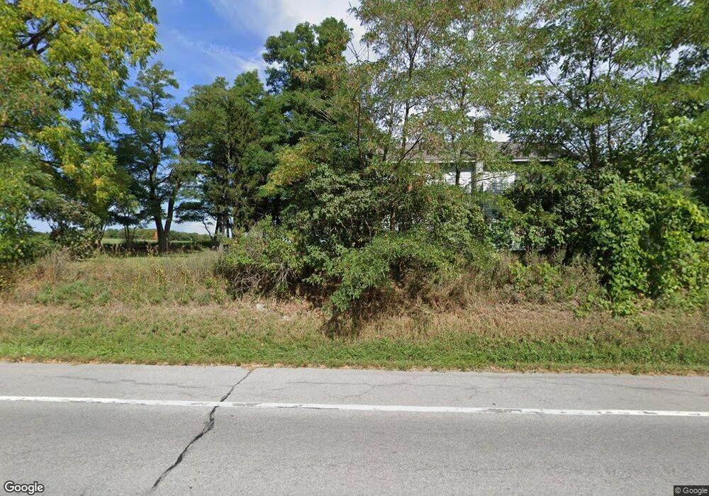
6637 Telephone Rd Unit 39 Pavilion, NY 14525
Estimated Value: $182,000 - $195,998
4
Beds
2
Baths
1,792
Sq Ft
$104/Sq Ft
Est. Value
About This Home
This home is located at 6637 Telephone Rd Unit 39, Pavilion, NY 14525 and is currently estimated at $186,500, approximately $104 per square foot. 6637 Telephone Rd Unit 39 is a home located in Genesee County with nearby schools including D.B. Bunce Elementary School and Pavilion Junior/Senior High School.
Ownership History
Date
Name
Owned For
Owner Type
Purchase Details
Closed on
Jul 13, 2011
Sold by
King Randy
Bought by
Kauffman Fred
Current Estimated Value
Home Financials for this Owner
Home Financials are based on the most recent Mortgage that was taken out on this home.
Original Mortgage
$82,600
Outstanding Balance
$54,162
Interest Rate
4.5%
Mortgage Type
FHA
Estimated Equity
$132,338
Purchase Details
Closed on
Sep 29, 2005
Sold by
Paganin Stephen
Bought by
King Randy
Create a Home Valuation Report for This Property
The Home Valuation Report is an in-depth analysis detailing your home's value as well as a comparison with similar homes in the area
Home Values in the Area
Average Home Value in this Area
Purchase History
| Date | Buyer | Sale Price | Title Company |
|---|---|---|---|
| Kauffman Fred | $84,800 | Theron Howard | |
| King Randy | $70,000 | Theron E Howard |
Source: Public Records
Mortgage History
| Date | Status | Borrower | Loan Amount |
|---|---|---|---|
| Open | Kauffman Fred | $82,600 |
Source: Public Records
Tax History Compared to Growth
Tax History
| Year | Tax Paid | Tax Assessment Tax Assessment Total Assessment is a certain percentage of the fair market value that is determined by local assessors to be the total taxable value of land and additions on the property. | Land | Improvement |
|---|---|---|---|---|
| 2024 | $2,027 | $133,300 | $23,200 | $110,100 |
| 2023 | $3,337 | $114,900 | $23,200 | $91,700 |
| 2022 | $3,139 | $114,900 | $23,200 | $91,700 |
| 2021 | $3,022 | $90,200 | $13,700 | $76,500 |
| 2020 | $3,028 | $90,200 | $13,700 | $76,500 |
| 2019 | $3,009 | $90,200 | $13,700 | $76,500 |
| 2018 | $3,009 | $90,200 | $13,700 | $76,500 |
| 2017 | $3,033 | $90,200 | $13,700 | $76,500 |
| 2016 | $3,004 | $90,200 | $13,700 | $76,500 |
| 2015 | -- | $84,800 | $8,300 | $76,500 |
| 2014 | -- | $84,800 | $8,300 | $76,500 |
Source: Public Records
Map
Nearby Homes
- 6429 Ellicott Street Rd
- 7220 Telephone Rd
- 11052 Lake St
- 9824 Lake St
- 11141 W Park St
- 11139 Lake St
- 6513 E Bethany Leroy Rd
- 0 Dillon Rd
- 10135 S Street Rd
- 0 Sweetland Unit R1621821
- 7193 Court Rd
- 9196 Transit Rd
- 5990 Rowley Rd
- 10311 Bethany Center Rd
- 9 Jefferson Ave
- 5774 Sweetland Rd
- 6987 E Bethany Leroy Rd
- Lot #12 Westbrook Rd
- 9195 Summit Street Rd
- 20 Munson St
- 6646 Telephone Rd
- 6672 Telephone Rd
- 10475 Cook Rd
- 10346 Hartwell Rd
- 10518 Cook Rd
- 10524 Cook Rd
- 10519 Cook Rd
- 10472 Roanoke Rd
- 6783 Telephone Rd
- 10508 Roanoke Rd
- 10270 Hartwell Rd
- 0 Telephone Rd Unit B459743
- 0 Telephone Rd Unit B472240
- 00 Telephone Rd
- 0 Telephone Rd Unit B1041268
- 10350 Creek Rd
- 10358 Creek Rd
- 10321 Creek Rd
- 10307 Creek Rd
- 10293 Creek Rd
