Estimated Value: $875,000 - $1,134,721
4
Beds
5
Baths
4,769
Sq Ft
$213/Sq Ft
Est. Value
About This Home
This home is located at 6639 Buckeye Rd, Perry, GA 31069 and is currently estimated at $1,014,574, approximately $212 per square foot. 6639 Buckeye Rd is a home located in Peach County with nearby schools including Kay Road Elementary School, Fort Valley Middle School, and Peach County High School.
Ownership History
Date
Name
Owned For
Owner Type
Purchase Details
Closed on
Jun 10, 2009
Sold by
Roughton William Keith
Bought by
Roughton William Keith and Roughton Brenda L
Current Estimated Value
Purchase Details
Closed on
Mar 11, 2008
Sold by
Apache Timberlands Llc
Bought by
Roughton William Keith
Home Financials for this Owner
Home Financials are based on the most recent Mortgage that was taken out on this home.
Original Mortgage
$554,773
Interest Rate
5.68%
Mortgage Type
New Conventional
Create a Home Valuation Report for This Property
The Home Valuation Report is an in-depth analysis detailing your home's value as well as a comparison with similar homes in the area
Home Values in the Area
Average Home Value in this Area
Purchase History
| Date | Buyer | Sale Price | Title Company |
|---|---|---|---|
| Roughton William Keith | -- | -- | |
| Roughton William Keith | -- | -- |
Source: Public Records
Mortgage History
| Date | Status | Borrower | Loan Amount |
|---|---|---|---|
| Previous Owner | Roughton William Keith | $554,773 |
Source: Public Records
Tax History Compared to Growth
Tax History
| Year | Tax Paid | Tax Assessment Tax Assessment Total Assessment is a certain percentage of the fair market value that is determined by local assessors to be the total taxable value of land and additions on the property. | Land | Improvement |
|---|---|---|---|---|
| 2024 | $10,533 | $389,040 | $39,440 | $349,600 |
| 2023 | $8,087 | $294,840 | $26,280 | $268,560 |
| 2022 | $8,663 | $276,120 | $26,280 | $249,840 |
| 2021 | $6,666 | $208,960 | $26,280 | $182,680 |
| 2020 | $7,130 | $223,840 | $26,280 | $197,560 |
| 2019 | $6,932 | $216,440 | $26,280 | $190,160 |
| 2018 | $6,966 | $216,440 | $26,280 | $190,160 |
| 2017 | $6,999 | $216,440 | $26,280 | $190,160 |
| 2016 | $6,971 | $216,440 | $26,280 | $190,160 |
| 2015 | $6,831 | $211,680 | $21,520 | $190,160 |
| 2014 | $7,135 | $220,960 | $21,520 | $199,440 |
| 2013 | -- | $220,960 | $21,520 | $199,440 |
Source: Public Records
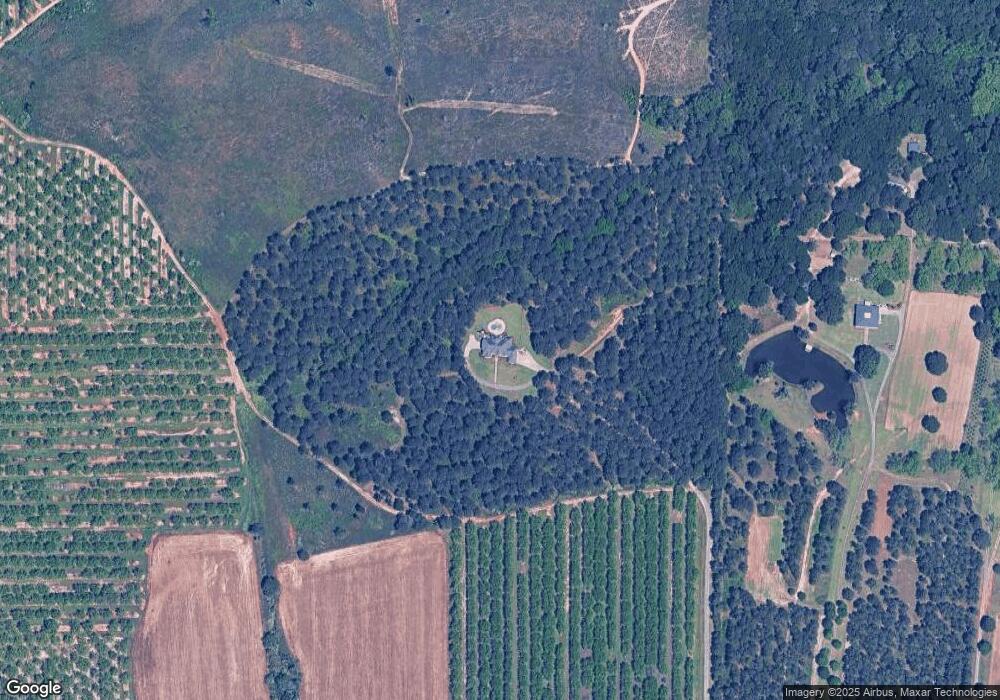
Map
Nearby Homes
- 0 Todd Rd Unit 253674
- 218 Walton Chase
- 12754 State Route 96
- 309 Bermuda Ridge
- 0 Airport Rd Unit 250304
- 2XX Airport Rd
- 207 Greylock Dr
- 2360 U S 41
- 2327 Us Hwy 41
- 2327 U S 41
- 124 Lake Lillian Dr
- 150 MacK Thompson Rd
- 0 MacK Thompson Rd Unit 253661
- 149 MacK Thompson Road Common
- 502 Arons Ct
- 96 Bleckley Rd
- 103 Waldorf Dr
- 0 Hwy 41 & Langston Rd Unit M170042
- 0 Langston Rd Unit 16828609
- 2636 Us Highway 41
- 6641 Buckeye Rd
- 6793 Buckeye Rd
- 6851 Buckeye Rd
- 6836 Buckeye Rd
- 6887 Buckeye Rd
- 6914 Buckeye Rd
- 7109 Buckeye Rd
- 7137 Buckeye Rd
- 0 Todd Rd Unit 7256854
- 0 Todd Rd Unit 7007791
- 0 Todd Rd Unit 8113195
- 0 Todd Rd Unit 8048423
- 0 Todd Rd
- 7199 Buckeye Rd
- 6103 Buckeye Rd
- 7221 Buckeye Rd
- 6011 Buckeye Rd
- 981 Allendale Rd
- 105 Walton Chase
- 7287 Buckeye Rd