6639 Dusty Ln Show Low, AZ 85901
Estimated Value: $808,000 - $1,344,000
--
Bed
--
Bath
3,126
Sq Ft
$310/Sq Ft
Est. Value
About This Home
This home is located at 6639 Dusty Ln, Show Low, AZ 85901 and is currently estimated at $969,408, approximately $310 per square foot. 6639 Dusty Ln is a home located in Navajo County with nearby schools including Linden Elementary School, Show Low High School, and Show Low Junior High School.
Ownership History
Date
Name
Owned For
Owner Type
Purchase Details
Closed on
Nov 27, 2012
Sold by
Reinbold W Rex and Reinbold Connie
Bought by
Dixon Malcolm R and Dixon Dawn Marie
Current Estimated Value
Home Financials for this Owner
Home Financials are based on the most recent Mortgage that was taken out on this home.
Original Mortgage
$165,000
Outstanding Balance
$113,778
Interest Rate
3.27%
Mortgage Type
Seller Take Back
Estimated Equity
$855,630
Create a Home Valuation Report for This Property
The Home Valuation Report is an in-depth analysis detailing your home's value as well as a comparison with similar homes in the area
Home Values in the Area
Average Home Value in this Area
Purchase History
| Date | Buyer | Sale Price | Title Company |
|---|---|---|---|
| Dixon Malcolm R | $465,000 | Pioneer Title Agency Inc |
Source: Public Records
Mortgage History
| Date | Status | Borrower | Loan Amount |
|---|---|---|---|
| Open | Dixon Malcolm R | $165,000 |
Source: Public Records
Tax History Compared to Growth
Tax History
| Year | Tax Paid | Tax Assessment Tax Assessment Total Assessment is a certain percentage of the fair market value that is determined by local assessors to be the total taxable value of land and additions on the property. | Land | Improvement |
|---|---|---|---|---|
| 2026 | $4,565 | -- | -- | -- |
| 2025 | $4,496 | $82,401 | $13,112 | $69,289 |
| 2024 | $4,255 | $82,500 | $13,014 | $69,486 |
| 2023 | $4,496 | $58,223 | $8,407 | $49,816 |
| 2022 | $4,255 | $0 | $0 | $0 |
| 2021 | $4,260 | $0 | $0 | $0 |
| 2020 | $4,003 | $0 | $0 | $0 |
| 2019 | $3,995 | $0 | $0 | $0 |
| 2018 | $3,811 | $0 | $0 | $0 |
| 2017 | $3,587 | $0 | $0 | $0 |
| 2016 | $3,536 | $0 | $0 | $0 |
| 2015 | $3,319 | $27,658 | $10,640 | $17,018 |
Source: Public Records
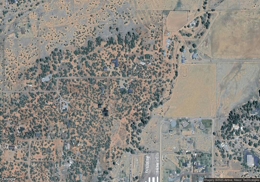
Map
Nearby Homes
- 6662 State Route 260 --
- 1051 Dusty Ln
- 1034 School House Ln
- 1028 School House Ln
- 1011 Dusty Ln
- 6690 Circle c Ln
- 983 Oak Grove Rd
- 6527 Maxwell Ln Unit B
- 1051 Burton Rd
- 6668 Bandido Way
- 6711 Bandido Way
- 6853 Rim Rock Rd
- 6843 Lucky Ln
- 965 Full House Ln
- 1108 Pearce Rd
- 1023 Casper Ln
- 1030 Chamberlain Way
- 6954 Pearce Dr
- 6305 Arizona 260
- 6305 State Route 260
- 6645 Dusty Ln Unit Lot T
- 6643 Dusty Ln
- 6643 Dusty Ln Unit Lot P
- 6649 Dusty Ln
- 6648 Dusty Ln
- 6647 Dusty Ln Unit Lot S
- 6655 Dusty Ln
- 1043 Verona Ln
- 1045 Meadow Ln
- 6656 Dusty Ln Unit 18
- 0 Verona Ln Unit 237375
- 1044 Meadow Ln
- 1030 Meadow Ln
- 1049 Etta Ln
- LINDEN Dusty Lane -- Unit N/A
- LINDEN Dusty Lane --
- 1088 School House Ln
- 1041 Etta Ln
- 1036 Meadow Ln
- 6581 Dusty Ln