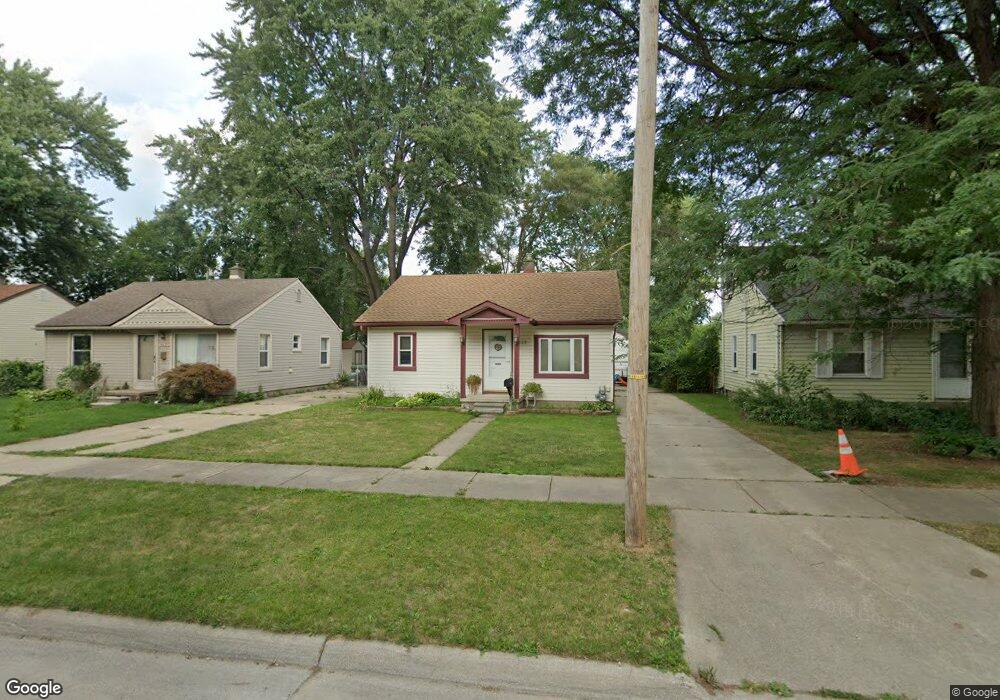
6639 Harding St Taylor, MI 48180
Estimated Value: $136,735 - $149,000
Studio
--
Bath
728
Sq Ft
$194/Sq Ft
Est. Value
About This Home
This home is located at 6639 Harding St, Taylor, MI 48180 and is currently estimated at $141,184, approximately $193 per square foot. 6639 Harding St is a home located in Wayne County with nearby schools including Lemasters Elementary School, Taylor Parks Elementary School, and Robert J. West Middle School.
Ownership History
Date
Name
Owned For
Owner Type
Purchase Details
Closed on
Dec 15, 2016
Sold by
Ryan David L and Ryan Carrie Lynn
Bought by
K S N T Real Properties Llc
Current Estimated Value
Purchase Details
Closed on
Aug 15, 2011
Sold by
Clevenger Randy C
Bought by
Ryan David L
Purchase Details
Closed on
Sep 1, 2010
Sold by
Gumro Jana T and Gumro Joseph M
Bought by
Deutsche Bank National Trust Company
Purchase Details
Closed on
Feb 24, 2004
Sold by
Gumro Jana T
Bought by
Gumro Joseph M
Purchase Details
Closed on
Jun 28, 2002
Sold by
Gumro Jana T
Bought by
Gumro Juana T
Create a Home Valuation Report for This Property
The Home Valuation Report is an in-depth analysis detailing your home's value as well as a comparison with similar homes in the area
Home Values in the Area
Average Home Value in this Area
Purchase History
| Date | Buyer | Sale Price | Title Company |
|---|---|---|---|
| K S N T Real Properties Llc | $28,750 | Title One Inc | |
| Ryan David L | $101 | None Available | |
| Deutsche Bank National Trust Company | $83,326 | None Available | |
| Gumro Joseph M | -- | -- | |
| Gumro Juana T | -- | -- |
Source: Public Records
Tax History Compared to Growth
Tax History
| Year | Tax Paid | Tax Assessment Tax Assessment Total Assessment is a certain percentage of the fair market value that is determined by local assessors to be the total taxable value of land and additions on the property. | Land | Improvement |
|---|---|---|---|---|
| 2025 | $1,674 | $61,200 | $0 | $0 |
| 2024 | $1,626 | $53,800 | $0 | $0 |
| 2023 | $1,832 | $45,300 | $0 | $0 |
| 2022 | $1,529 | $38,000 | $0 | $0 |
| 2021 | $2,115 | $35,800 | $0 | $0 |
| 2020 | $1,858 | $30,600 | $0 | $0 |
| 2019 | $239,760 | $26,400 | $0 | $0 |
| 2018 | $1,343 | $22,400 | $0 | $0 |
| 2017 | $3,398 | $22,100 | $0 | $0 |
| 2016 | $1,828 | $21,500 | $0 | $0 |
| 2015 | $2,130 | $21,300 | $0 | $0 |
| 2013 | $2,120 | $22,100 | $0 | $0 |
| 2012 | $923 | $21,600 | $6,000 | $15,600 |
Source: Public Records
Map
Nearby Homes
- 6731 Harding St
- 6485 Huron St
- 7235 Mortenview Dr
- 20233 Pinecrest St
- 6764 Jackson St
- 7267 William St
- 7254 Mayfair St
- 7571 William St
- 7580 Mayfair St
- 6056 Clippert St
- 7882 Campbell St
- 5873 Merrick St
- 6731 Robinson Ave
- 7866 Dudley St
- 7713 Jackson St
- 7866 Katherine St
- 7854 Jackson St
- 7210 Buckingham Ave
- 5725 Polk St
- 5652 Merrick St
- 6631 Harding St
- 6623 Harding St
- 6647 Harding St
- 6648 Merrick St
- 6632 Merrick St
- 6624 Merrick St
- 6638 Harding St
- 6646 Harding St
- 6630 Harding St
- 20924 Pinecrest St
- 20948 Pinecrest St
- 6654 Harding St
- 6622 Harding St
- 20916 Pinecrest St
- 20908 Pinecrest St
- 6662 Harding St
- 21022 Pinecrest St
- 6647 Mortenview Dr
- 6639 Mortenview Dr
- 21030 Pinecrest St