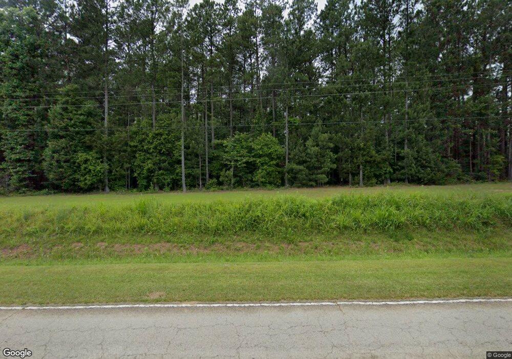
6639 Us Highway 321 N Winnsboro, SC 29180
Estimated Value: $307,000 - $517,000
--
Bed
--
Bath
2,670
Sq Ft
$160/Sq Ft
Est. Value
About This Home
This home is located at 6639 Us Highway 321 N, Winnsboro, SC 29180 and is currently estimated at $427,875, approximately $160 per square foot. 6639 Us Highway 321 N is a home located in Fairfield County with nearby schools including Fairfield Middle School and Fairfield Central High School.
Ownership History
Date
Name
Owned For
Owner Type
Purchase Details
Closed on
Jul 17, 2025
Sold by
Parris Kent H and Parris Sylvia E
Bought by
Langston Aaron Thomas and Langston Jordan Parris
Current Estimated Value
Purchase Details
Closed on
Sep 29, 2017
Sold by
Parris Kent H and Parris Sylvia E
Bought by
Mobley Christopher Burns and Mobley Morgan Parris
Create a Home Valuation Report for This Property
The Home Valuation Report is an in-depth analysis detailing your home's value as well as a comparison with similar homes in the area
Home Values in the Area
Average Home Value in this Area
Purchase History
| Date | Buyer | Sale Price | Title Company |
|---|---|---|---|
| Langston Aaron Thomas | -- | None Listed On Document | |
| Langston Aaron Thomas | -- | None Listed On Document | |
| Mobley Christopher Burns | -- | None Available |
Source: Public Records
Tax History Compared to Growth
Tax History
| Year | Tax Paid | Tax Assessment Tax Assessment Total Assessment is a certain percentage of the fair market value that is determined by local assessors to be the total taxable value of land and additions on the property. | Land | Improvement |
|---|---|---|---|---|
| 2024 | $1,520 | $7,998 | $798 | $7,200 |
| 2023 | $1,520 | $7,998 | $798 | $7,200 |
| 2022 | $1,425 | $7,998 | $798 | $7,200 |
| 2021 | $1,548 | $8,314 | $798 | $7,516 |
| 2020 | $1,637 | $8,314 | $798 | $7,516 |
| 2019 | $1,594 | $8,150 | $798 | $7,352 |
| 2018 | $1,566 | $8,150 | $798 | $7,352 |
| 2017 | $1,572 | $8,263 | $0 | $0 |
| 2016 | $1,589 | $8,263 | $0 | $0 |
| 2015 | $1,661 | $0 | $0 | $0 |
| 2014 | $1,661 | $8,318 | $0 | $0 |
| 2012 | $1,661 | $8,439 | $0 | $0 |
Source: Public Records
Map
Nearby Homes
- 4597 Old Airport Rd
- 0 Turkey Creek Rd
- 175 Robinson Ave
- 904 State Highway 200
- 904 S Carolina 200
- 64 Robinson Ave
- 1236 Newberry Rd
- 4822 Bull Run Rd
- 0 S Carolina 200
- 108 Cornwallis Dr
- 323 W High St
- 776 N Springs Rd
- 23 &24 Kingswood Dr
- 205 Drayton St
- 201 Hillcrest Dr
- 223 Cammack Rd
- 129 N Zion St
- 116 N Zion St
- 124 W Liberty St
- 211 W Liberty St
- 6329 Us Highway 321 N
- 81 Toatley Rd
- TBD Highway 321
- 171 Toatley Rd
- 165 Toatley Rd
- 92 Toatley Rd
- 167 Toatley Rd
- 69 Killian Trail
- 7109 Us Highway 321 N
- 247 Toatley Rd
- 106 Patrick Rd
- 140 Patrick Rd
- 166 Toatley Rd
- 104 Davis Ln
- 0 State Road S-20-403 Unit Toatley Rd
- 36 Killian Trail
- 114 Toatley Rd
- 114 Toatley Rd
- 208 Patrick Rd
- 94 Mobley Hwy
