664 Cedar Ln Ashland, NE 68003
Estimated Value: $290,000 - $393,000
2
Beds
1
Bath
650
Sq Ft
$490/Sq Ft
Est. Value
About This Home
This home is located at 664 Cedar Ln, Ashland, NE 68003 and is currently estimated at $318,402, approximately $489 per square foot. 664 Cedar Ln is a home with nearby schools including Ashland-Greenwood Elementary School, Ashland-Greenwood Middle School, and Ashland-Greenwood High School.
Ownership History
Date
Name
Owned For
Owner Type
Purchase Details
Closed on
Aug 23, 2011
Sold by
Carrier James L and Carrier Pamela M
Bought by
Grzywa Michael J and Grzywa Melissa A
Current Estimated Value
Purchase Details
Closed on
Aug 15, 2011
Sold by
Carlson Linda L
Bought by
Don Johnson Homes Inc A Nebraska Corpo
Purchase Details
Closed on
Aug 9, 2011
Sold by
Carrier James L and Carrier Pamela M
Bought by
Grzywa Michael J and Grzywa Melissa A
Create a Home Valuation Report for This Property
The Home Valuation Report is an in-depth analysis detailing your home's value as well as a comparison with similar homes in the area
Purchase History
| Date | Buyer | Sale Price | Title Company |
|---|---|---|---|
| Grzywa Michael J | -- | -- | |
| Don Johnson Homes Inc A Nebraska Corpo | -- | -- | |
| Grzywa Michael J | -- | -- |
Source: Public Records
Tax History
| Year | Tax Paid | Tax Assessment Tax Assessment Total Assessment is a certain percentage of the fair market value that is determined by local assessors to be the total taxable value of land and additions on the property. | Land | Improvement |
|---|---|---|---|---|
| 2025 | $1,778 | $204,098 | $95,000 | $109,098 |
| 2024 | $1,778 | $204,098 | $95,000 | $109,098 |
| 2023 | $2,471 | $206,699 | $95,000 | $111,699 |
| 2022 | $2,510 | $194,288 | $95,000 | $99,288 |
| 2021 | $2,174 | $170,360 | $95,000 | $75,360 |
| 2020 | $2,172 | $170,360 | $95,000 | $75,360 |
| 2019 | $2,318 | $170,360 | $95,000 | $75,360 |
| 2018 | $2,279 | $164,770 | $95,000 | $69,770 |
| 2017 | $2,326 | $164,770 | $95,000 | $69,770 |
| 2016 | $2,169 | $153,955 | $90,000 | $63,955 |
| 2015 | $2,256 | $153,955 | $90,000 | $63,955 |
| 2014 | $2,303 | $153,955 | $90,000 | $63,955 |
| 2012 | $2,442 | $148,140 | $90,000 | $58,140 |
Source: Public Records
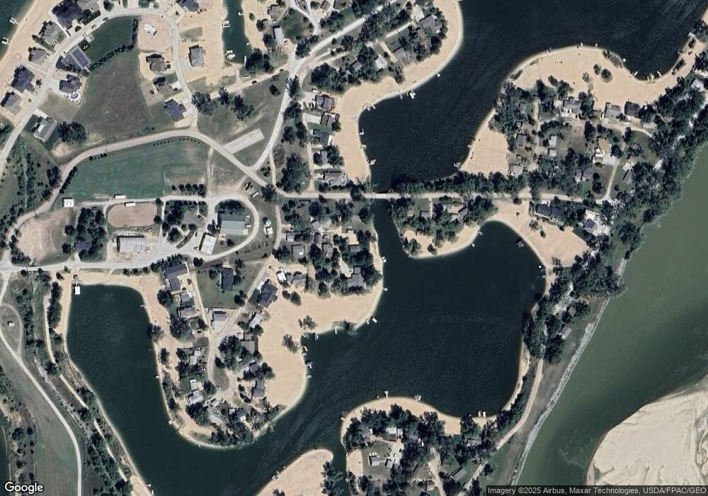
Map
Nearby Homes
- 660 Red Tail Ln
- 676 Waterford Pointe
- 335 S Marina Way
- 339 S Marina Way
- 716 Timberstone Dr
- 336 N Marina Way
- 627 Kingfisher Cir
- 1075 Wann Rd
- 0 County Road 5
- 451 County Road B
- 1007 Bluejay Cir
- 2402 Blue Jay Way
- 2606 Bluejay Way
- 2208 Reagan Rd
- 2202 Bluejay Way
- 2214 Bluejay Way
- 12859 S 229th St
- Lot 73 Wynnwood Estates Cir
- TBD Lot 41 St
- 22715 Quarry Ln
- 681 Cedar Ln
- 662 Cedar Ln
- 668 Cedar Ln
- 34 Thomas Lake
- 671 Cedar Ln
- 663 Cedar Ln
- 680 Lakeside Cir
- 3 Thomas Lake
- 88 Thomas Lake
- 235 Melrose Dr
- 79 Thomas Lake Rd
- 88 Thomas Lake Rd
- 684 Lakeside Cir
- 0 Thomas Lake
- 674 Lakeshore Ln
- 676 Lakeshore Ln
- 231 Melrose Dr
- 8 Thomas Lake
- 227 Melrose Dr
- 21 Thomas Lake